 Geobru catalogue
Type of resources
Available actions
Topics
INSPIRE themes
Keywords
Contact for the resource
Provided by
Years
Formats
Representation types
Update frequencies
status
Service types
Scale
Resolution
-
Brussels-Capital Region: This service is the service mapping data visualization of the dataset Hydrography of Brussels Environment (compliant with the data specifications of INSPIRE) including the watercourse network, drainage basin and surface waters of the Brussels-Capital Region.
-
This WMS service allows to display Brussels Environment datasets relating to noise
-
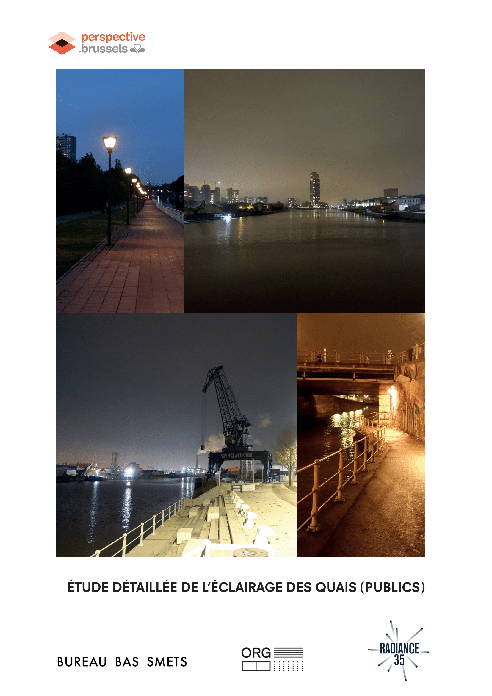
Detailed study of the lighting of (public) quays in the canal area, landscape and urban quality plan
-
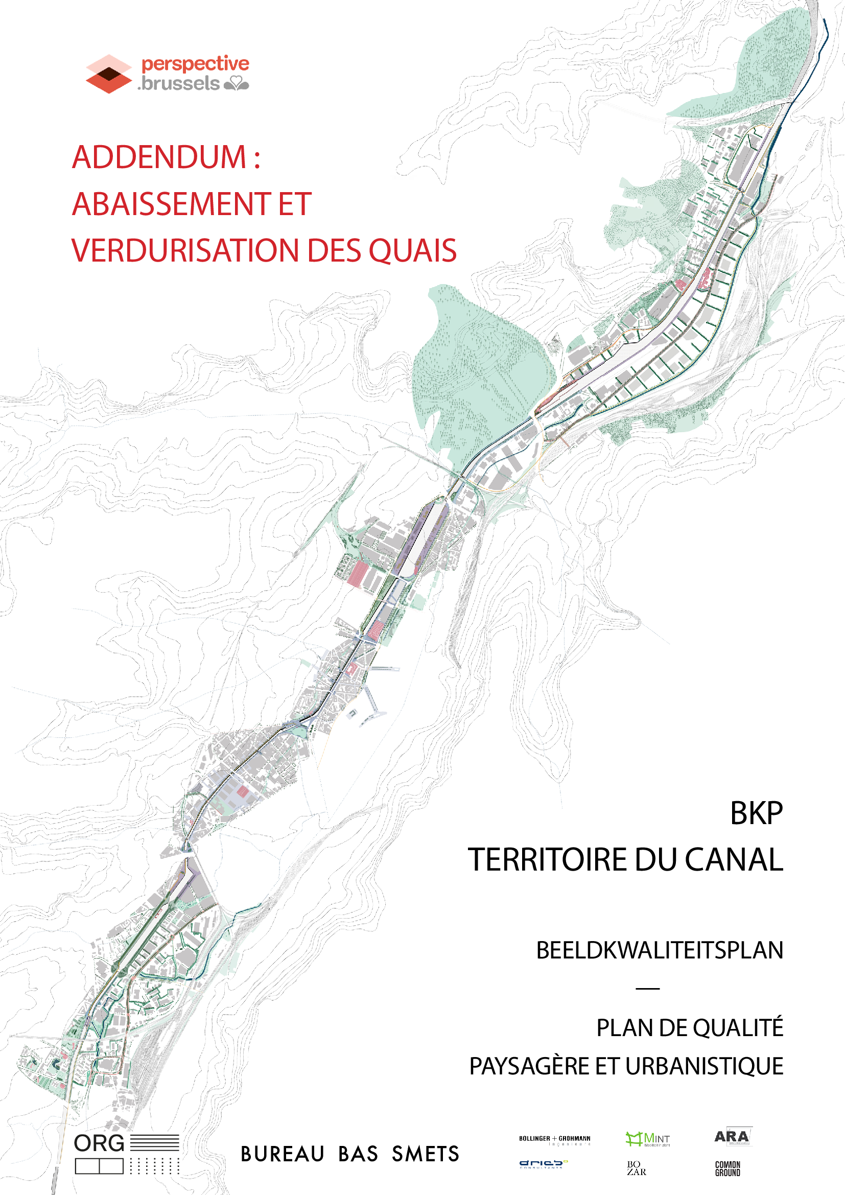
Following a request from the Brussels Regional Government and within the framework of the BKP, an additional study was carried out in 2020 to investigate the possibility of lowering and greening the canal banks. This would strengthen the link between public space, water and nature. The objective of this feasibility study was to: -identify the land on the canal that could be transformed into quality public spaces ; -evaluate the technical and spatial constraints to investigate the possibilities of greening the banks, both on the banks themselves and on the waterway.
-

-
-
This study first characterises the current heat and cooling needs in the Brussels-Capital Region as well as the evolution of these needs until 2050. A mapping of these needs is then presented, as well as a visualisation of the main existing heat sources in the Brussels-Capital Region. The technical and economic potential of cogeneration is then calculated. Finally, the study compares the different solutions for meeting heat needs, including the distribution of heat in thermal energy networks.
-
The study consists of interviews (in depth semi-structured) with 12 project leaders of the call 'Brussels on Holiday' 2020. The objective was to be able to (re)orient the future call for projects.
-
Description of the pedagogical, social and technical skills of a digital inclusion facilitator, based on the DIGCOMP framework, and an example of questions to ask in a job interview.
-
This view service allows, by means of a formatted URL, to visualize the data from the wifi.brussels network's hotspots managed by IRISnet in the Brussels-Capital Region.