2024
Type of resources
Available actions
Topics
INSPIRE themes
Keywords
Contact for the resource
Provided by
Years
Formats
Representation types
Update frequencies
status
Service types
Scale
Resolution
-
This layer includes the collective opinions issued by the Royal Commission of Monuments and Sites on both protection proposals and requests for work on buildings or sites, whether or not they are protected. The description of each specific procedure, during which the RCMS provides its opinion, is available on its website: https://crms.brussels/procedures.
-
For each Brussels municipality, this dataset includes the number of members of municipal councils, inhabitants, voters, votes, valid votes and seats according to lists. The data cover the results of the Brussels municipal elections from 2006 until the most recent elections. The members of the municipal council are elected every six years by all the voters in the municipality, for a period of six years.
-

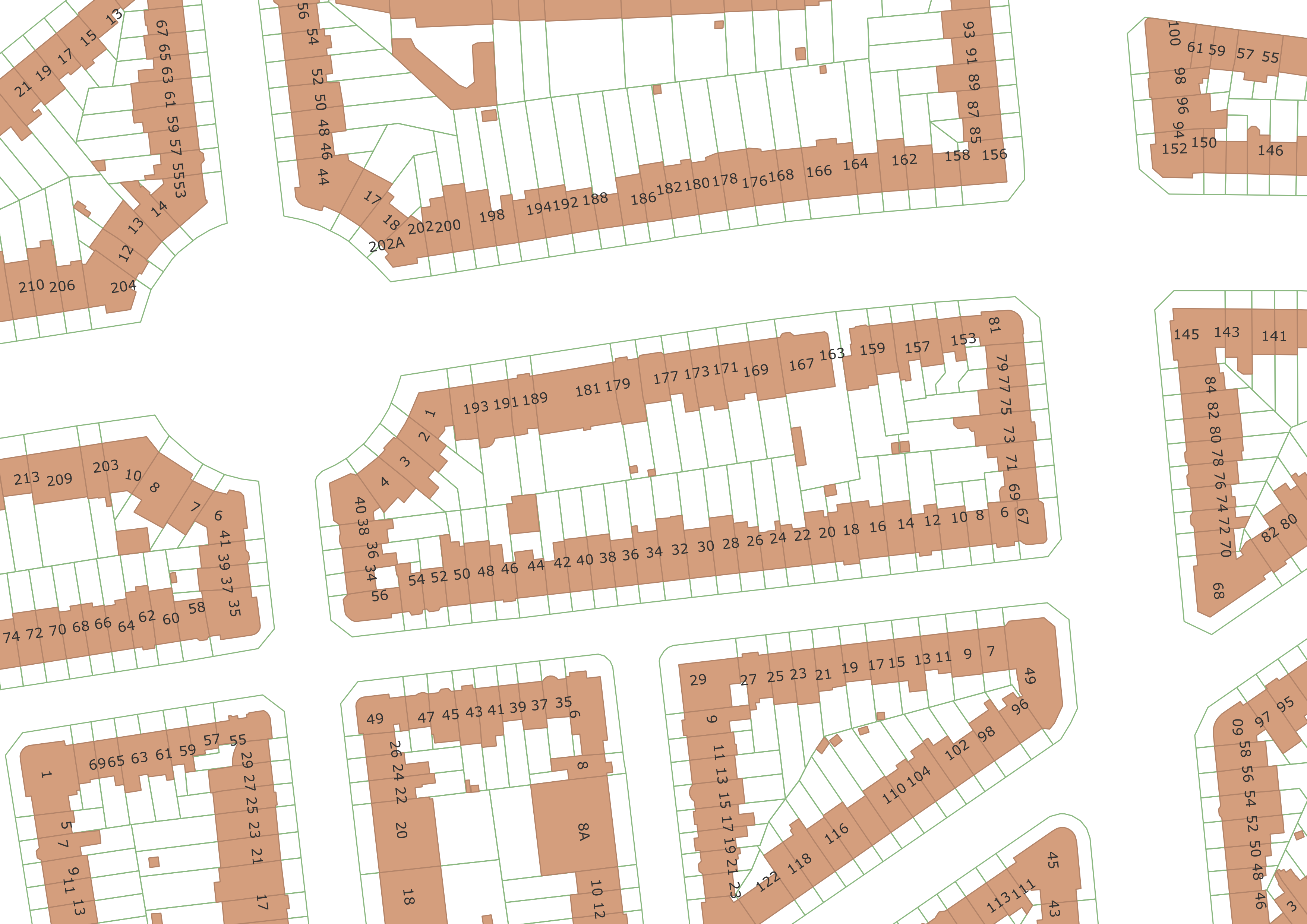
The UrbIS - Parcels and buildings product corresponds to the dataset of two-dimensionally modeled buildings located in the Brussels Region and the Cadastral Parcel Plan. This dataset is composed of three geometric classes. The first class corresponds to buildings. The second corresponds to addresses (only those with the status "current" are included in this dataset), and the third to cadastral parcels. The third class comes from the FPS Finance. Its licence applies to the third class. The dataset is freely downloadable as zipped files and via the ad hoc WFS.
-

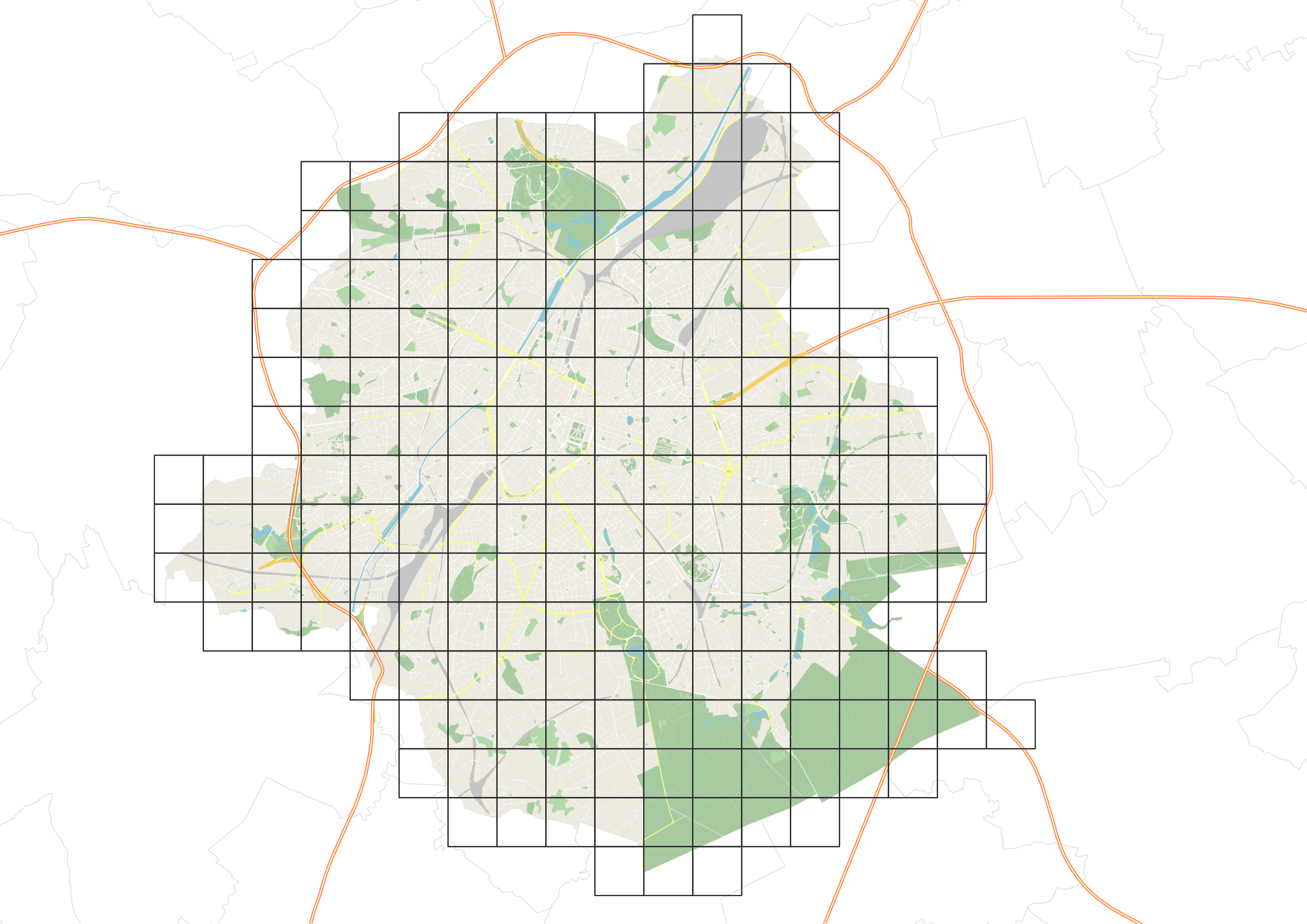
This dataset corresponds to the mesh delimiting the boxes (also called grids) used in UrbIS. The mesh covers the entire territory of the Brussels-Capital Region, and the boxes are one kilometer on each side.
-

This view service allows, by means of a formatted URL, to display all the UrbIS basemaps. These are available in color or black and white, and with annotations in French or in Dutch, or without annotations.
-

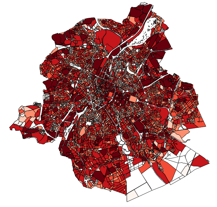
This dataset contains the off-street parking supply in the Brussels-Capital Region. The data is aggregated per cadastral block and classified into 11 categories, where possible. The categories include: residential, office, commercial, industrial, educational, cultural/religious/sporting, hospital/care, public parking, park & ride, public buildings, and others.
-
The UrbIS - Landscape product (formerly UrbIS - ADM 3D V2 Beta) is a dataset that combines the data from the “3D Constructions” product with the “Digital terrain model” to display a three-dimensional model of the ground and buildings in the Brussels-Capital region. The dataset is freely downloadable as zipped files.
-

This view service allows, by means of a formatted URL, to display all the vector data that are used in Brusky.
-

This AtomFeed download service provides access to datasets of GAPD that are reported under the INSPIRE Directive. The datasets can be accessible for free or under conditions.
-
The UrbIS - Mapping M7 to M8 product corresponds to the mapping between identifiers of some M7 objects and their equivalents in M8 when the identifiers are not identical. The mapping is performed as follows: ADPT in M7 corresponds to Addresses in the M8 Parcels and Buildings product; 3D BU in M7 corresponds to Three-dimensional buildings in the M8 3D Constructions product; and 2D BU in M7 corresponds to Buildings in the M8 Parcels and Buildings product. The dataset is freely downloadable as three csv files.
 Geobru catalogue