environment
Type of resources
Available actions
Topics
INSPIRE themes
Keywords
Contact for the resource
Provided by
Years
Formats
Representation types
Update frequencies
status
Service types
Scale
-
This WMS service allows to display Brussels Environment datasets relating to geology and hydrogeology.
-
This WMS service allows to display Brussels Environment datasets relating to air, climate and energy
-
This WMS service allows to display Brussels Environment datasets relating to soil and subsoil
-
This WMS service allows to display Brussels Environment datasets relating to city in transition
-
This WMS service allows to display Brussels Environment datasets relating to green spaces and biodiversity
-
This WMS service allows to display Brussels Environment datasets relating to water
-
This WMS service allows to display Brussels Environment datasets relating to noise
-

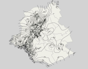
This dataset corresponds to the stratigraphic units in the Brussels-Capital Region. It is made of four geometric classes: geological field data, extensions of stratigraphic units, geological map of the Brussels Region, elevations of the tops of the stratigraphic units, and thicknesses of the stratigraphic units.
-
This dataset corresponds to underground hydraulic infrastructurein the Brussels-Capital Region. It is made up of two geometric classes: underground hydraulic pipes, and inspection chambers for underground hydraulic pipes.
-

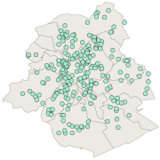
This dataset corresponds to exemplary buildings. It is made of one geometric classe : the buildings winning the "Exemplary Buildings" calls for proposals organised with the aim of encouraging initiatives in ecoconstruction and integrated renovation.
 Geobru catalogue