 Geobru catalogue
GeoJSON
Type of resources
Available actions
Topics
INSPIRE themes
Keywords
Contact for the resource
Provided by
Years
Formats
Representation types
Update frequencies
status
Scale
-
School contract is a regional program for urban renewal. It aims to upgrade school neighbourhoods in Brussels and strengthen the relationship between schools and their surroundings.
-
This dataset includes the urban planning infractions observed on the territory of the city of Brussels as specified in article 300 of the Code bruxellois de l'aménagement du territoire / Brusselse wetboek van Ruimetelijke ordening.
-
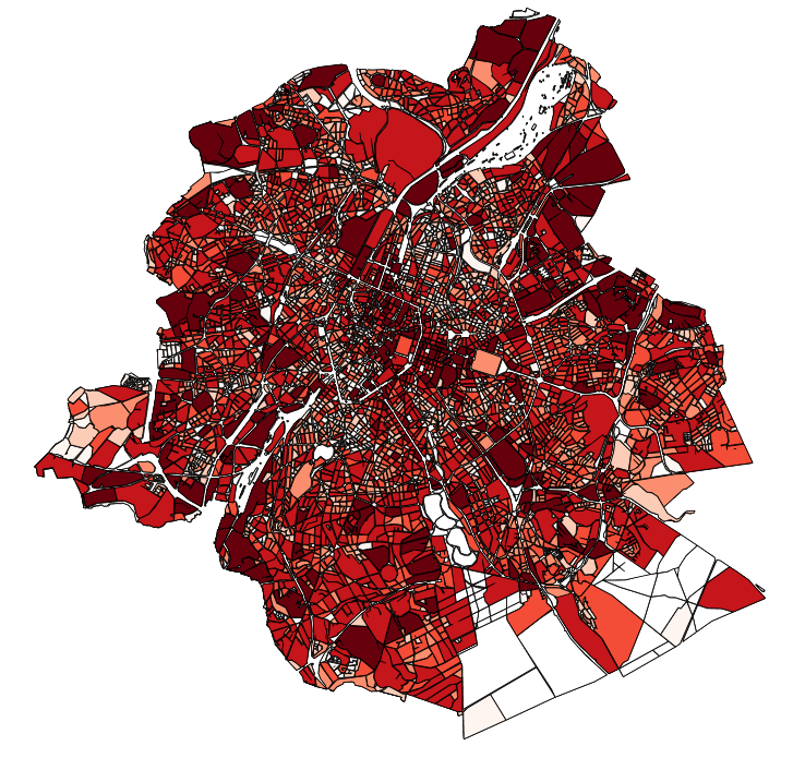
This dataset contains the off-street parking supply in the Brussels-Capital Region. The data is aggregated per cadastral block and classified into 11 categories, where possible. The categories include: residential, office, commercial, industrial, educational, cultural/religious/sporting, hospital/care, public parking, park & ride, public buildings, and others.
-

This dataset contains the access roads, whether parking is allowed or not, in the Brussels-Capital Region, categorised by type of reglementation, orientation and situation.
-
This dataset contains the on-street parking supply in the Brussels-Capital Region, categorised by type of reglementation, orientation and situation.
-
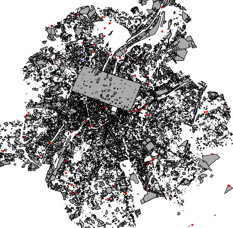
The indicative inventory of natural heritage: these various cartographic layers are essential for a comprehensive understanding of natural heritage, allowing authorities and stakeholders to monitor, protect, and promote trees and sites with heritage value (gardens, squares, parks, woods) in the region. The inventory of architectural heritage. The archaeological and historical inventory of the Brussels Region: this group of cartographic layers presents a detailed thematic inventory of archaeological and historical sites in the center of Brussels (Pentagon).
-
This dataset corresponds to applications for environmental permits filed in the Brussels-Capital Region, as defined in Title II of the ordonnance of 5 June 1997 regarding environmental permits. It includes a single class covering environmental permits that have been granted, refused, as well as those still under review. The data are accessible via WFS or through full download.
-
These various map layers are essential for the effective management of cultural heritage (real estate) in the Brussels-Capital region. They enable authorities and stakeholders to monitor, protect, and promote this valuable cultural legacy. Protected Properties: This map layer displays the locations of cultural properties that are officially protected by the relevant authorities. Protection Zones: This map layer shows the designated protection zones around the protected properties.
-

The BeSt Address - Brussels Region product corresponds to the regional address register, in the sense of the BeSt Address cooperation agreement between the Federal State and the Flemish Region, the Walloon region, and the Brussels Region. The dataset is freely downloadable for private individuals, as zipped files or via a WFS.
-
These map layers provide part of the information used for managing urban planning permits within the framework of spatial planning in the Brussels-Capital Region. The perimeters involved are as follows: subdivision permits and urban planning permits issued or still under consideration, municipal regulations and zoned municipal regulations, various zoning areas concerning advertising and signs as well as accessibility related to public transportation from the RRU 2006, land allocated for industry and priority development hubs.