 Geobru catalogue
environment
Type of resources
Available actions
Topics
INSPIRE themes
Keywords
Contact for the resource
Provided by
Years
Formats
Representation types
Update frequencies
status
Scale
Resolution
-
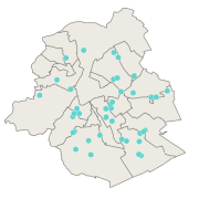
This dataset corresponds to urban agriculture producers. It is made of one geometric classe : the urban agriculture producers's network.
-

-
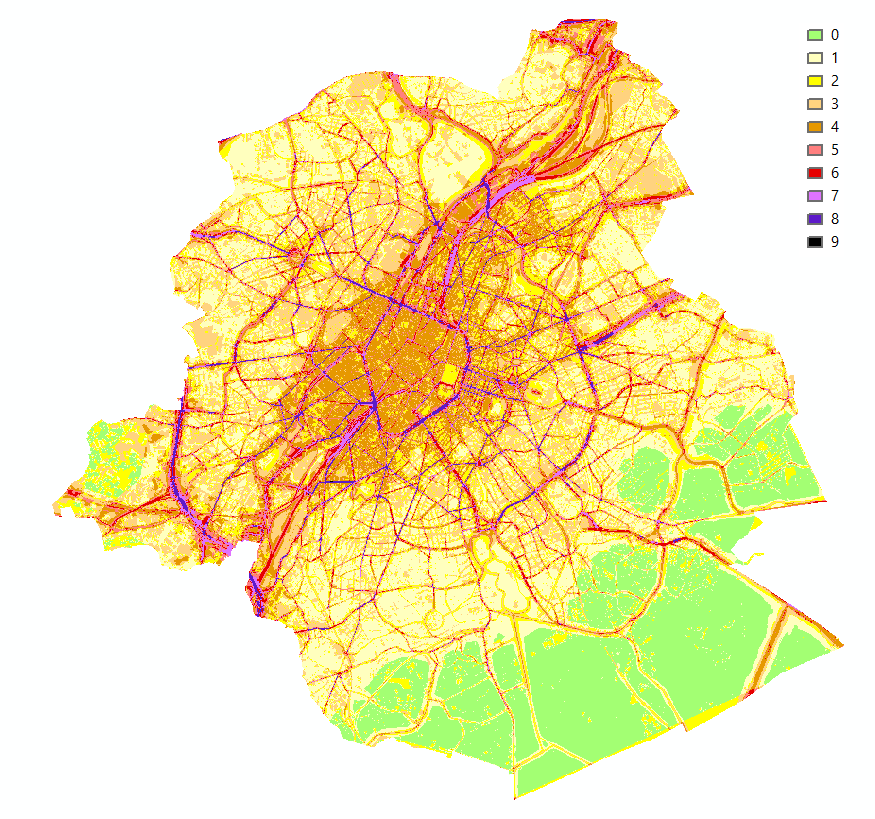
Brussels-Capital Region : This map shows the combined Health Impact Screening score for heat stress, air pollution and noise pollution (0-9) in the Brussels Capital Region. It was produced as part of the 2020 study on the "Impact of 'Nature-Based Solutions' (NBS) on urban residents' exposure to air pollution, noise pollution or high temperatures - Overview of general knowledge and recommendations for the Brussels-Capital Region". This map is a combination of 3 maps: heat stress (24/08/2016), air pollution (2018) and noise pollution (2016). For the methodology used, see p.54. The study report (in dutch) is available at http://document.environnement.brussels/opac_css/elecfile/NatureBasedSolutions
-
This dataset corresponds to analyses and suspicion of contamination of water and soil in the Brussels-Capital Region. It is made up of two objects: cadastral parcels presenting a risk of pollution by PFAS and the results of analysis campaigns by borehole
-
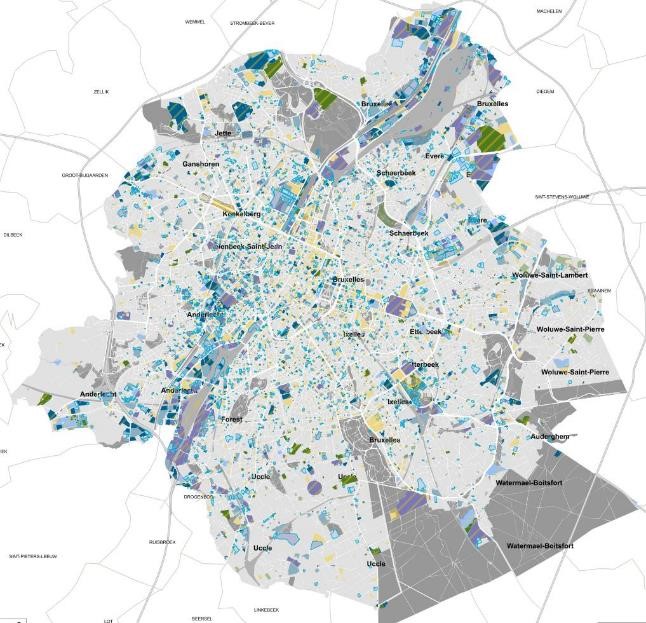
This dataset corresponds to soil condition inventory in the Brussels-Capital Region. It is made up of one geometric classe : cadastral parcels categorised according to a presumption of pollution and any studies and work to treat soil pollution
-
No abstract
-
The objectives of the survey are to determine the level of understanding of the different concepts relating to energy and EPB, and to measure the level of understanding and acceptance among homeowners and property managers of future EPB obligations in the Brussels-Capital Region, as well as exemptions and financial aid.
-
No abstract
-
Commissioned by Brussels Environment, BovaEnviro+ went in search of innovative inspection technologies and techniques to assist environmental monitoring officers, or inspectors, in carrying out their inspections. The report includes: an inventory of the information and concerns of the inspectors regarding the project; an overview of the technologies and techniques used in Belgium - outside Brussels - and in other European countries (France, the Netherlands and Germany); an assessment of the advantages/disadvantages (limitations) of the selected technologies and techniques; and an overview of the costs of the technologies and techniques and an inventory of potential suppliers. The study was split into three issues: - issue 1: air quality, climate and emissions of air pollutants ; - issue 2: noise and vibration ; - issue 3: surface waters.
-
Self-renovation could be a way of achieving the climate objectives of the Brussels-Capital Region's Renovation Plan more quickly, i.e. attaining an average C+ energy performance for residential buildings by 2050. It would also enable a response to the rise in energy prices, allowing those in need to be included in the renovation of Brussels' heritage. The aim of this study is to verify whether these assumptions can be applied in the Brussels-Capital Region.