 Geobru catalogue
transportation
Type of resources
Available actions
Topics
INSPIRE themes
Keywords
Contact for the resource
Provided by
Years
Formats
Representation types
Update frequencies
status
Scale
-
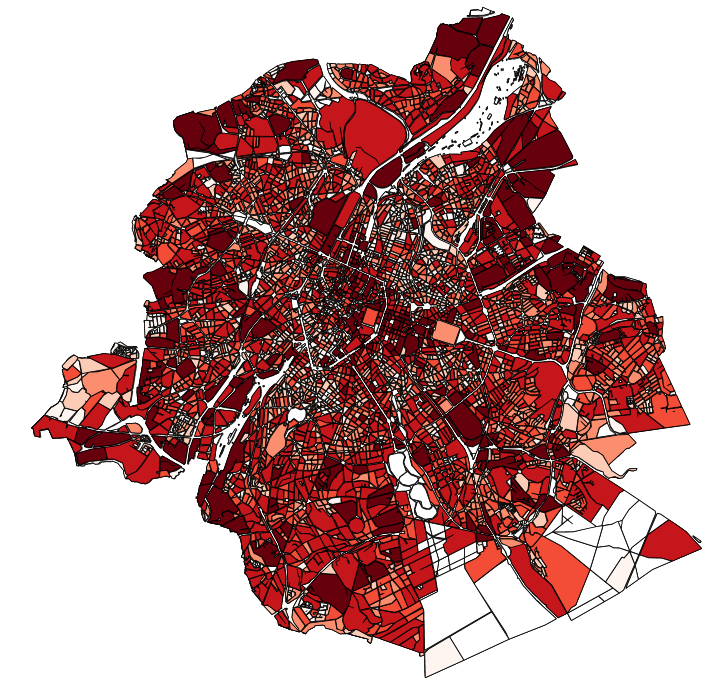
This dataset contains the off-street parking supply in the Brussels-Capital Region. The data is aggregated per cadastral block and classified into 11 categories, where possible. The categories include: residential, office, commercial, industrial, educational, cultural/religious/sporting, hospital/care, public parking, park & ride, public buildings, and others.
-

This dataset contains the access roads, whether parking is allowed or not, in the Brussels-Capital Region, categorised by type of reglementation, orientation and situation.
-
This dataset corresponds to the total occupancy rate of parking demand in 2014 by the different modes of transport (cars and vans, motorised two-wheelers, lorries, other) on all the roads in the Brussels-Capital Region.
-
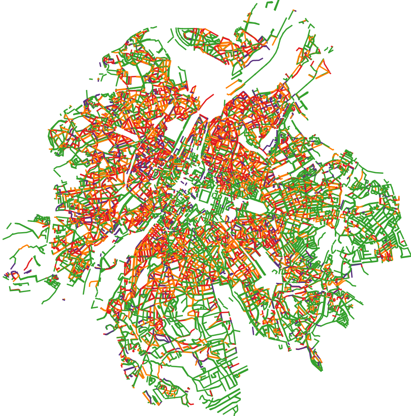
This dataset contains the on-street parking supply in the Brussels-Capital Region, categorised by type of reglementation, orientation and situation.
-
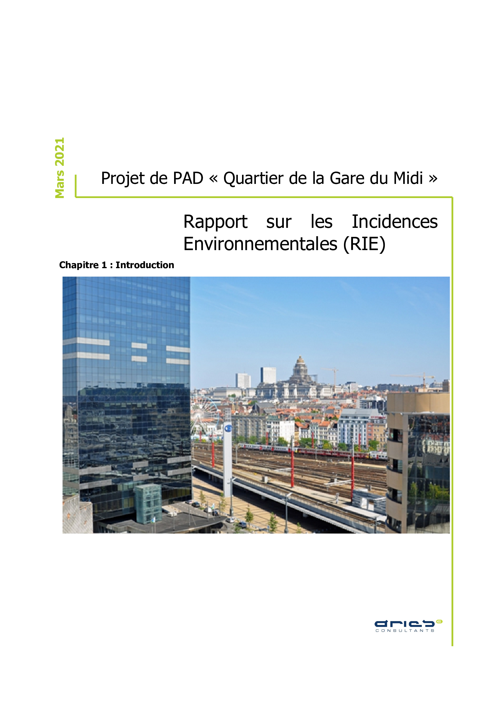
Master Development Plan (MDP) project of the "Gare du Midi area", Environmental Impact Report (EIR)
-

This dataset corresponds to the total occupancy rate of parking demand in 2023 by the different modes of transport (cars and vans, motorised two-wheelers, lorries, other) on all the roads in the Brussels-Capital Region. This total occupancy rate is calculated on the basis of 4 time slots: - Tuesday or Thursday from 5.00 am to 7.00 am - Tuesday or Thursday from 10.00 am to 12.00 am - Tuesday or Thursday from 8.00 pm to 10.00 pm - Saturday between 10.00 am and 6.00 pm For each time slot, details of parking demand categorised by mode of transport are available.
-
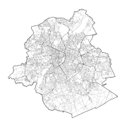
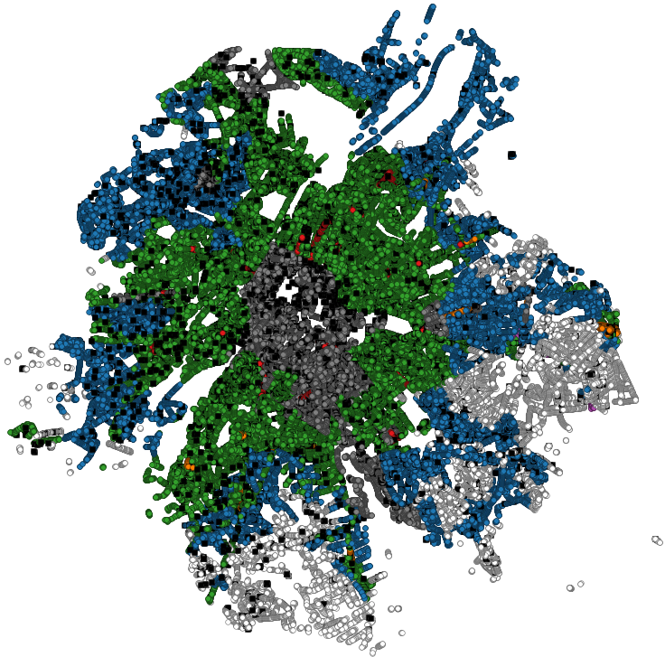
Brussels-Capital Region : SA entity corresponds to the axes of street sections of the Region of Brussels-Capital
-

The dataset provides information on the tariff regulations that apply to street parking in the municipalities of the Brussels-Capital Region. It includes details on the spatial coverage and the time-specific application, as well as information on parking durations and fees.
-
The study consists of interviews (in depth semi-structured) with 12 project leaders of the call 'Brussels on Holiday' 2020. The objective was to be able to (re)orient the future call for projects.
-
