 Geobru catalogue
planningCadastre
Type of resources
Available actions
Topics
INSPIRE themes
Keywords
Contact for the resource
Provided by
Years
Formats
Representation types
Update frequencies
status
Scale
-
This dataset corresponds to the Special Land-Use Plans (les Plans Particulier d'Affectation du Sol or PPAS in French and de Bijzondere Bestemmingsplannen or BBP in Dutch). The dataset consists of a single layer showing the general perimeter of the PPAS, without identifying each specific land-use zone or its nature. It can be consulted via an ad hoc WMS and WFS. This dataset has no regulatory value and is published solely for informational purposes. Only the maps and subsequent amendments published in the Belgian Official Gazette have regulatory force.
-

Cadastral Parcels - INSPIRE corresponds to the dataset of Belgian plan cadastral parcels complying with INSPIRE specifications. This dataset is composed of two classes. The first class contains cadastral zoning and the second class contains cadastral parcel. The entire dataset can be downloaded via the ad hoc WFS.
-
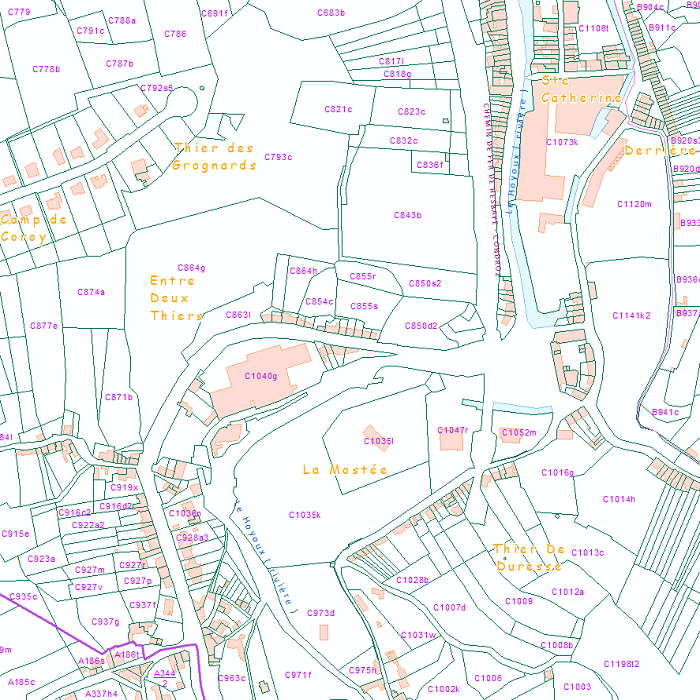
Land register plan - situation on January 1st corresponds to the dataset of land register from the reference database for the land register data CadGIS. The land register plan is one of the elements that make up the patrimonial documentation. It is defined as “the graphic representation and assembling on a plan of all the cadastral plan parcels of the Belgian territory”. A plan parcel, such as defined in Article 2 of the Royal Decree of 30 July 2018, is a part of Belgian territory, geographically delimited and identified by the General Administration of Patrimonial Documentation on the land register plan, which corresponds to the ground surface area of one or more patrimonial cadastral parcel(s) (real estate property as mentioned in Article 472 of the 1992 Income Tax Code in respect of which the cadastral income is fixed). This dataset corresponds to the legal situation as defined on 1 January of the reference year. It is composed of thirteen geometric classes and one class without geometry. The first class includes the cadastral plan parcels present in the corresponding administrative unit. The second class includes the buildings managed by the General Administration of Patrimonial Documentation, the third class includes the buildings managed by the regions, the fourth class includes equipment and tools, the fifth class includes water bodies, the sixth class includes cadastral blocks, the seventh, easements and paths, the eighth, toponymic lines, the ninth, toponymic points, the tenth, property boundaries, the eleventh, parcel numbers, the twelfth, cadastral divisions, and finally, the thirteenth, cadastral limits. The class without geometry corresponds to the table of tax situations. The dataset can be freely downloaded as a zipped shapefiles.
-
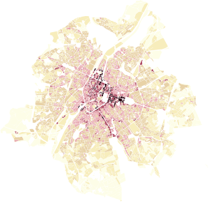
This dataset represents the built density of urban blocks within the territory of the Brussels-Capital Region. It provides four indicators: the floor space index (FSI), the ground space index (GSI), the average number of storeys, and the maximum building height.
-
This dataset corresponds to the urban renewal area (URA). This zone brings together disadvantaged neighborhoods where the public sector increases its investments. This zone was designated by the Brussels-Capital Region with the aim of improving residents’ quality of life and socio-economic integration, and of creating a new dynamic for the development of the local economy. A first zone was defined in 2016. The boundaries were revised in 2019 and 2026, and this new URA has been in effect since September 2026.
-
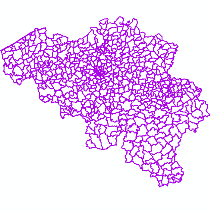
Administrative units - current situation corresponds to the dataset of administrative units from the reference database for the land register data. Administrative limits are legally defined by an administrative entity or between two administrative entities. In Belgium, administrative limits as legally defined are fixed and can only be changed by a law, ordinance or decree. The General Administration of Patrimonial Documentation of the FPS Finance is named by the federal authorities as the authentic source of Belgian administrative limits. This dataset corresponds to the current situation at the time of consultation. It is composed of five geometric classes. The first class corresponds to the whole national territory. The second corresponds to the territory of the three regions, the third to the territory of the provinces, the fourth to the territory of the administrative districts, the fifth to the territory of the municipalities. The dataset is freely downloadable via the ad hoc WFS service.
-

This dataset contains data on buildings in the Brussels-Capital Region. A building is any physical construction formed of rigid exterior walls, roofed, permanently attached to land, and designed to accommodate human activity and / or shelter for animals, goods and machinery.
-
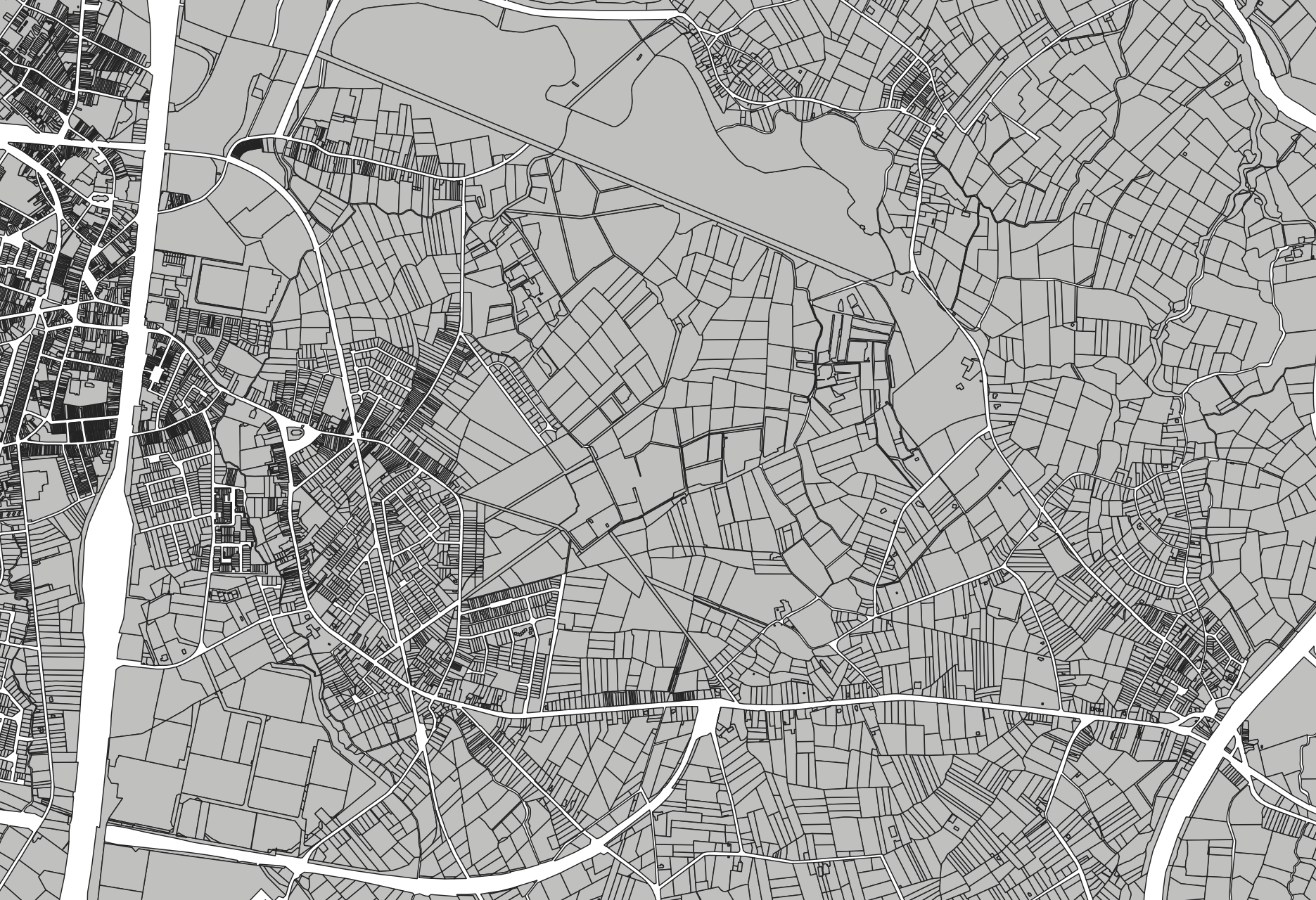
Cadastral parcels - monthly situation corresponds to the dataset of the monthly situation of the cadastral parcels layer from the Land Register plan. The dataset is composed of two classes. The first class contains the geometries of the cadastral parcels; the second is a class without geometry and corresponds to a code table of the different fiscal situations used in the first class. The dataset can be freely downloaded as a zipped shapefiles.
-
Administrative units corresponds to the dataset of administrative units from the reference database for the land register data. Administrative limits are legally defined by an administrative entity or between two administrative entities. In Belgium, administrative limits as legally defined are fixed and can only be changed by a law, ordinance or decree. The General Administration of Patrimonial Documentation of the FPS Finance is named by the federal authorities as the authentic source of Belgian administrative limits. This dataset corresponds to the legal situation as defined on January 1st of the reference year or to the situation at the specified date. It is composed of seven geometric classes (polygons and lines) and one class without geometry. The first class corresponds to the whole national territory. The second corresponds to the territory of the three regions, the third to the territory of the provinces, the fourth to the territory of the administrative districts, the fifth to the territory of the municipalities, the sixth to the territory of the Antwerp city districts and the seventh to the administrative boundaries in the form of lines. The class without geometry corresponds to the table of tax situations. The dataset can be freely downloaded as a zipped shapefiles.
-
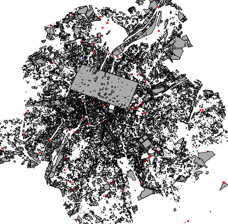
This dataset corresponds to applications for environmental permits filed in the Brussels-Capital Region, as defined in Title II of the ordonnance of 5 June 1997 regarding environmental permits. It includes a single class covering environmental permits that have been granted, refused, as well as those still under review. The dataset is updated twice a day. The data are accessible via WFS or through full download.