 Geobru catalogue
GeoPackage
Type of resources
Available actions
Topics
INSPIRE themes
Keywords
Contact for the resource
Provided by
Years
Formats
Representation types
Update frequencies
status
Scale
Resolution
-
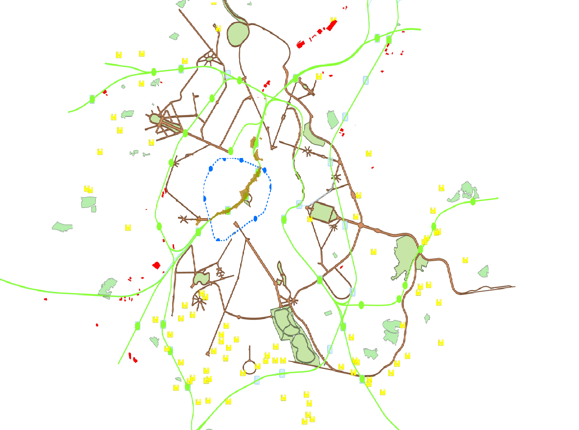
This dataset corresponds to the Special Land-Use Plans (les Plans Particulier d'Affectation du Sol or PPAS in French and de Bijzondere Bestemmingsplannen or BBP in Dutch). The dataset consists of a single layer showing the general perimeter of the PPAS, without identifying each specific land-use zone or its nature. It can be consulted via an ad hoc WMS and WFS. This dataset has no regulatory value and is published solely for informational purposes. Only the maps and subsequent amendments published in the Belgian Official Gazette have regulatory force.
-
This dataset is made up of numerous types of objects corresponding to a range of different layouts or the location of various buildings or activities.
-

The files contain the population characteristics (total, gender and/or age groups) by 1 km² square grid cell in Belgium on January 1st, according to the European definition of the population. The European definition takes into account the 12-months criterion and includes asylum seekers. More information at https://ec.europa.eu/eurostat/cache/metadata/en/demo_pop_esms.htm#unit_measure1589188532500.
-

The dataset of the electoral cantons represents the geographical unit used for the organization of the elections. The electoral cantons were digitised based on the definitions in the Annex of the Electoral Code, which is managed by the FPS Home Affairs. The dataset consists of a single feature type, namely the boundaries of the electoral cantons [electoralcanton]. This dataset can be downloaded via the links in 'Access' at the bottom of this page.
-

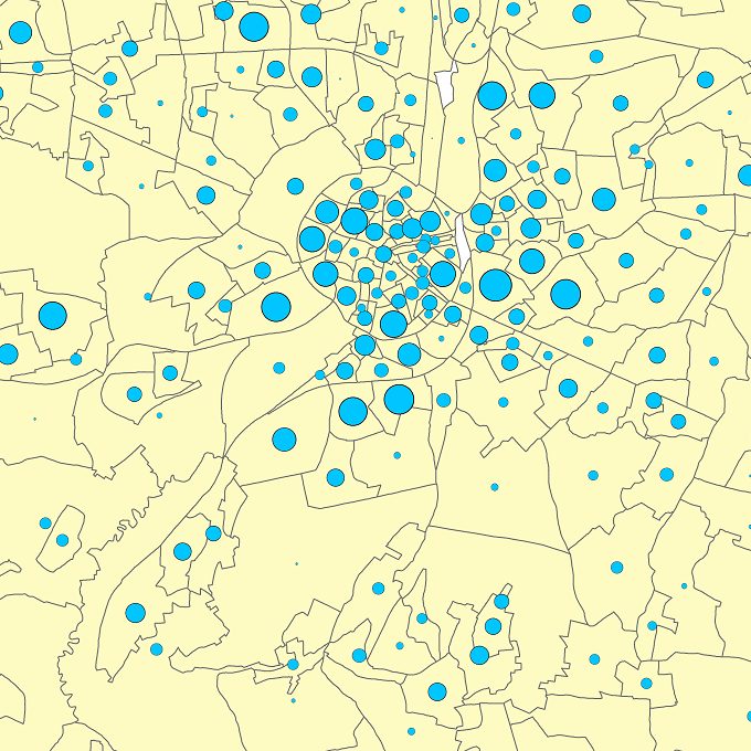
The data set has been established according to the INSPIRE format. It presents in the form of polygons the breakdown of Belgium in almost 20,000 statistical sectors. The statistical sector is the basic territorial unit resulting from the subdivision of the territory of municipalities by STATBEL since 1970 for the dissemination of its statistics at a finer level than the municipal level. A statistical sector cannot extend over two municipalities and any point in the municipal territory is part of one and the same statistical sector. The 1970 and 1981 versions are shown in analogue format while the 2001, 2011, 2018, 2019 etc. versions are available in digital vector format. The files can be linked to the data on population, housing and disposable income on the website of Statbel.
-
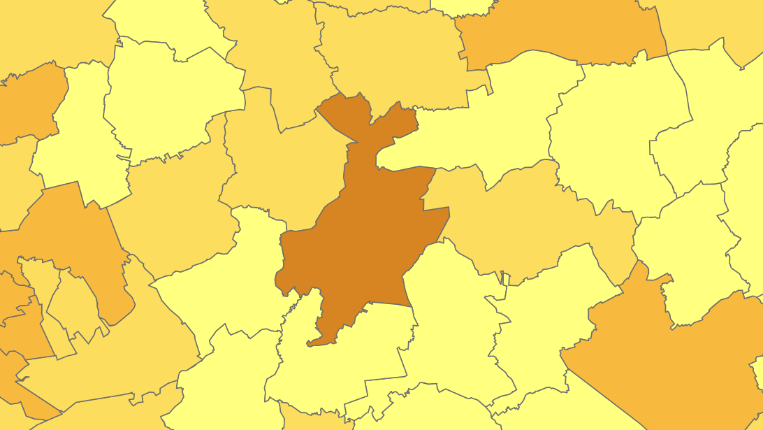
This dataset corresponds to the macrozone dataset, i.e. the highest-level statistical partition of the Brussels-Capital Region (the Region is divided into 17 macrozones).
-
This dataset includes the roads cleaned by the Regional Agency for Cleanliness (“Brussels-Cleanliness”) that are not regional roads.
-
The files contain the population characteristics (total, gender and/or age groups) by municipality in Belgium on January 1st, according to the Belgian definition of the population. The Belgian definition does not take into account the 12-months criterion and excludes asylum seekers. More information at https://ec.europa.eu/eurostat/cache/metadata/en/demo_pop_esms.htm#unit_measure1589188532500.
-
The files contain the population characteristics (total, gender and/or age groups) by statistical sector in Belgium on January 1st, according to the Belgian definition of the population. The Belgian definition does not take into account the 12-months criterion and excludes asylum seekers. More information at https://ec.europa.eu/eurostat/cache/metadata/en/demo_pop_esms.htm#unit_measure1589188532500.
-

The dataset of the judicial cantons and arrondissements represents the geographical subdivisions used in the organization of the courts. The dataset was digitized based on the definitions in the ‘Judicial Code – Annex: Definition of jurisdiction and seat of courts and tribunals’, which is managed by the FPS Justice. The dataset consists of 3 feature types, including the boundaries of the judicial cantons [judicialcanton] and arrondissements [judicialarrondissement]. Each judicial canton has at least one peace court [peacecourt], which also constitutes an object type in the dataset. This dataset can be downloaded via the links in 'Access' at the bottom of this page.