 Geobru catalogue
2021
Type of resources
Available actions
Topics
INSPIRE themes
Keywords
Contact for the resource
Provided by
Years
Formats
Representation types
Update frequencies
status
Scale
Resolution
-
A request to obtain an advice described as "regarding address lists and GDPR"
-

Report on the environmental impact of the ERDF Program and analysis of the possibilities of supporting the objectives of the Program through financial instruments.
-
This study first characterises the current heat and cooling needs in the Brussels-Capital Region as well as the evolution of these needs until 2050. A mapping of these needs is then presented, as well as a visualisation of the main existing heat sources in the Brussels-Capital Region. The technical and economic potential of cogeneration is then calculated. Finally, the study compares the different solutions for meeting heat needs, including the distribution of heat in thermal energy networks.
-

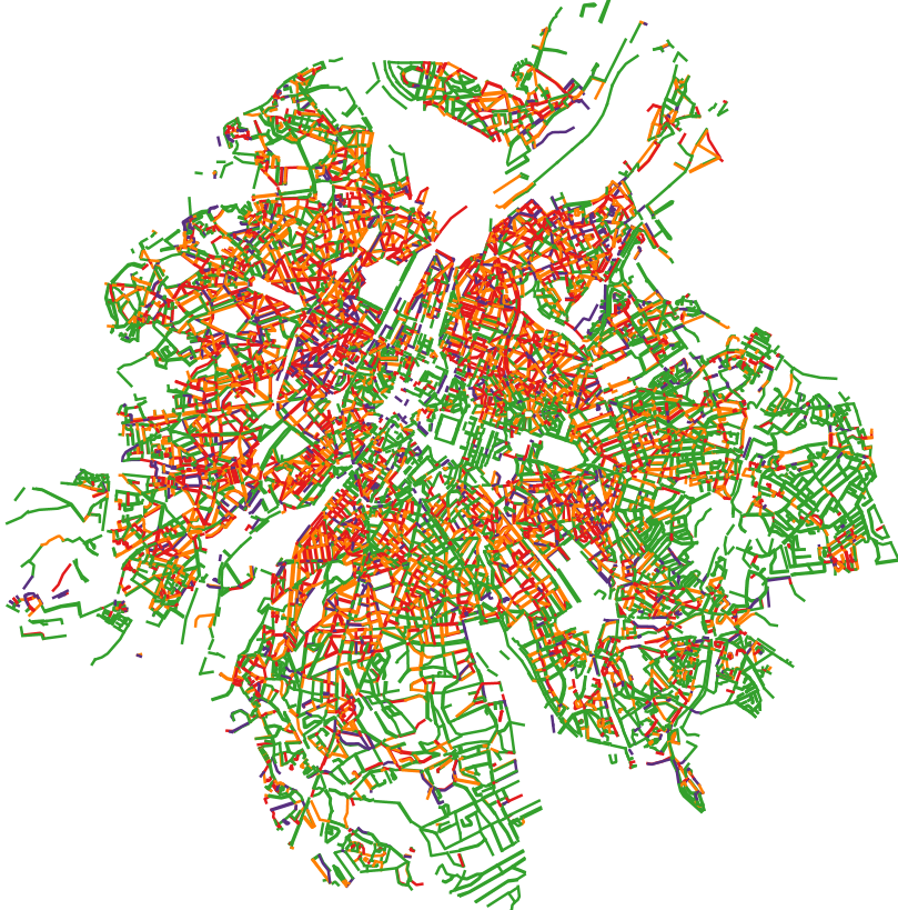
This dataset contains the access roads, whether parking is allowed or not, in the Brussels-Capital Region, categorised by type of reglementation, orientation and situation.
-
The general objective of this study was to have a more in-depth knowledge of the reality of Fair Trade in the Brussels-Capital Region.
-
This dataset corresponds to the total occupancy rate of parking demand in 2014 by the different modes of transport (cars and vans, motorised two-wheelers, lorries, other) on all the roads in the Brussels-Capital Region.
-
This dataset contains the on-street parking supply in the Brussels-Capital Region, categorised by type of reglementation, orientation and situation.
-
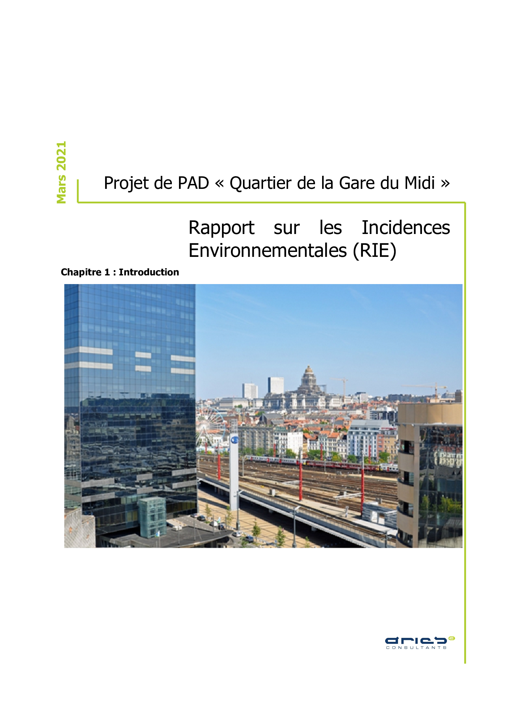
Master Development Plan (MDP) project of the "Gare du Midi area", Environmental Impact Report (EIR)
-
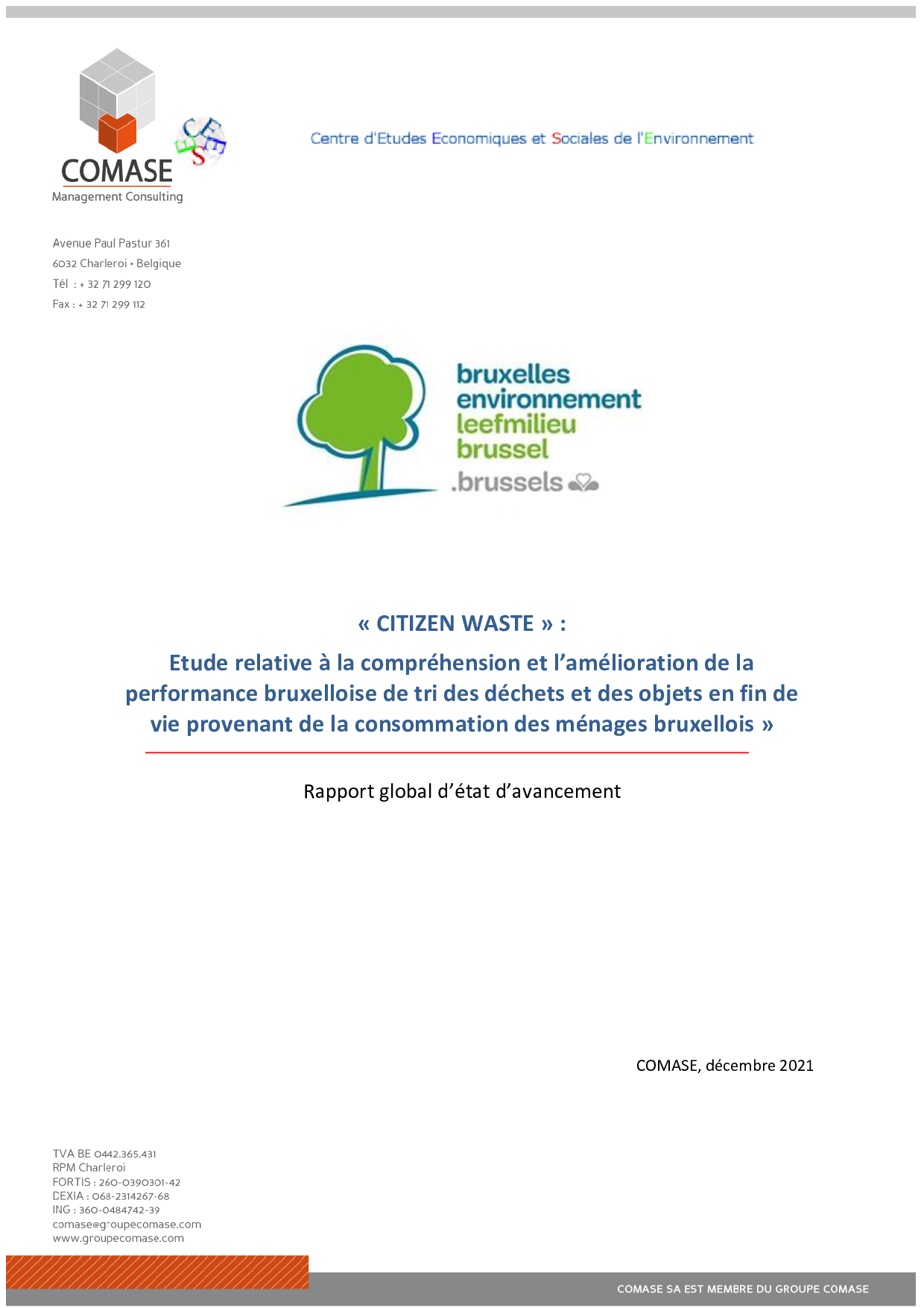
Study on understanding and improving the performance of Brussels in sorting waste and end-of-life objects from from the consumption of Brussels households. The Citizen Waste Action-Research conducted since the end of 2019 by a project-team composed of COMASE and CEESE (Centre d'Etudes Economiques et Sociales de l'Environnement ULB) and aims, by involving the main stakeholders of the household waste policy: - To understand the performance of selective collection of waste from Brussels households; - To identify the performance variables on which to act; - Identify the margins for improvement; - Make recommendations for action to improve performance; - Support the implementation of the recommendations for action. This report presents the state of progress of the Citizen Waste Research-Action's achievements and results, until the end of 2021.
-

The dataset provides information on the tariff regulations that apply to street parking in the municipalities of the Brussels-Capital Region. It includes details on the spatial coverage and the time-specific application, as well as information on parking durations and fees.