2023
Type of resources
Available actions
Topics
INSPIRE themes
Keywords
Contact for the resource
Provided by
Years
Formats
Representation types
Update frequencies
status
Service types
Scale
Resolution
-

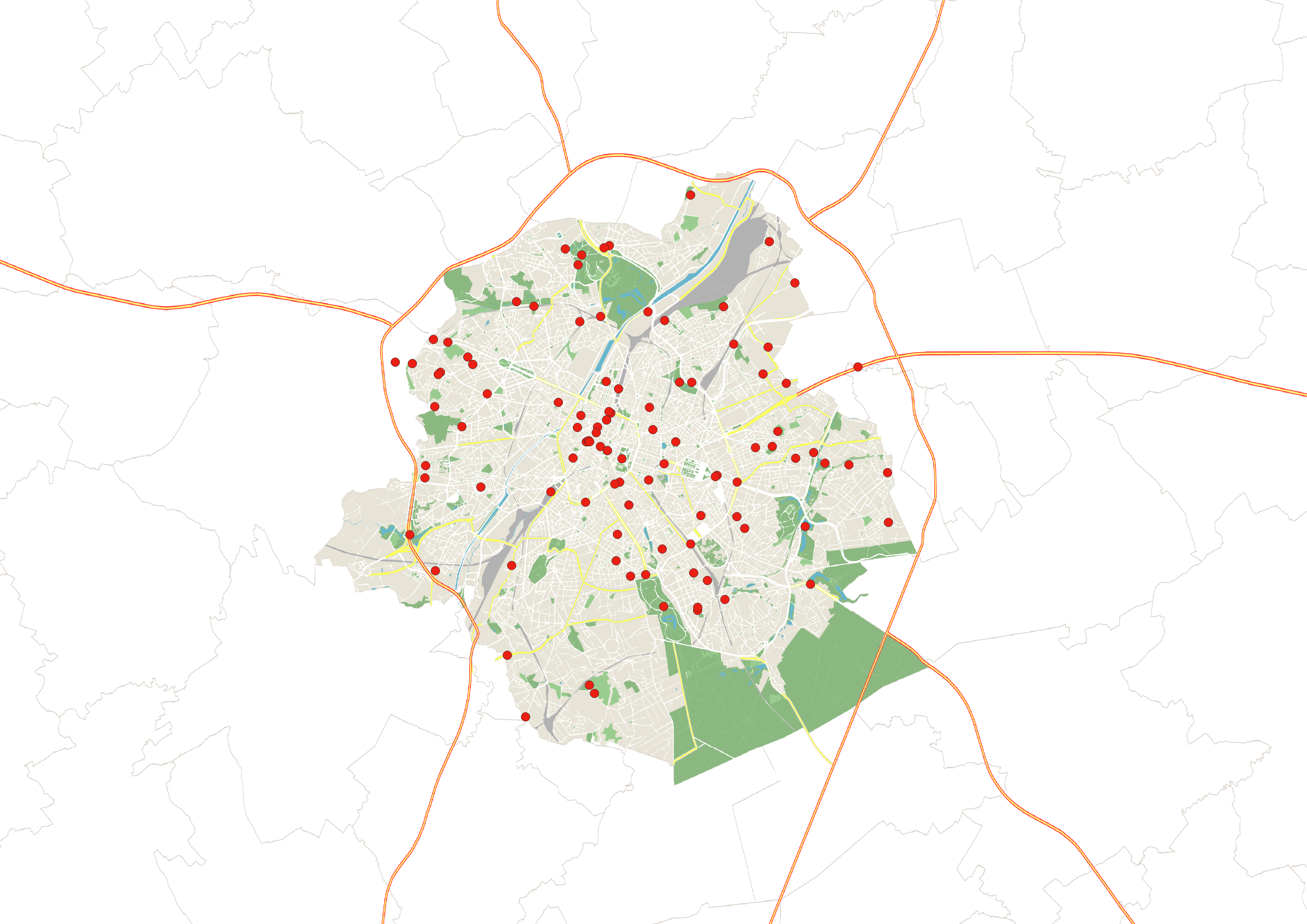
This dataset is an inventory of toilets accessible to the public in the Brussels-Capital Region in 2023. It includes information on the price and number of toilets available, their opening hours, access for people with reduced mobility, and whether a sink and changing table are available. It is freely available to download as an Excel file.
-

These map layers provide part of the information used for managing urban planning permits within the framework of spatial planning in the Brussels-Capital Region. The perimeters involved are as follows: subdivision permits and urban planning permits issued or still under consideration, municipal regulations and zoned municipal regulations, various zoning areas concerning advertising and signs as well as accessibility related to public transportation from the RRU 2006, land allocated for industry and priority development hubs.
-

The objectives of the survey are to determine the level of understanding of the different concepts relating to energy and EPB, and to measure the level of understanding and acceptance among homeowners and property managers of future EPB obligations in the Brussels-Capital Region, as well as exemptions and financial aid.
-
This download service provides object-based access to statistical areas of the Brussels-Capital Region maintained by the Brussels institute for statistics and analysis.
-

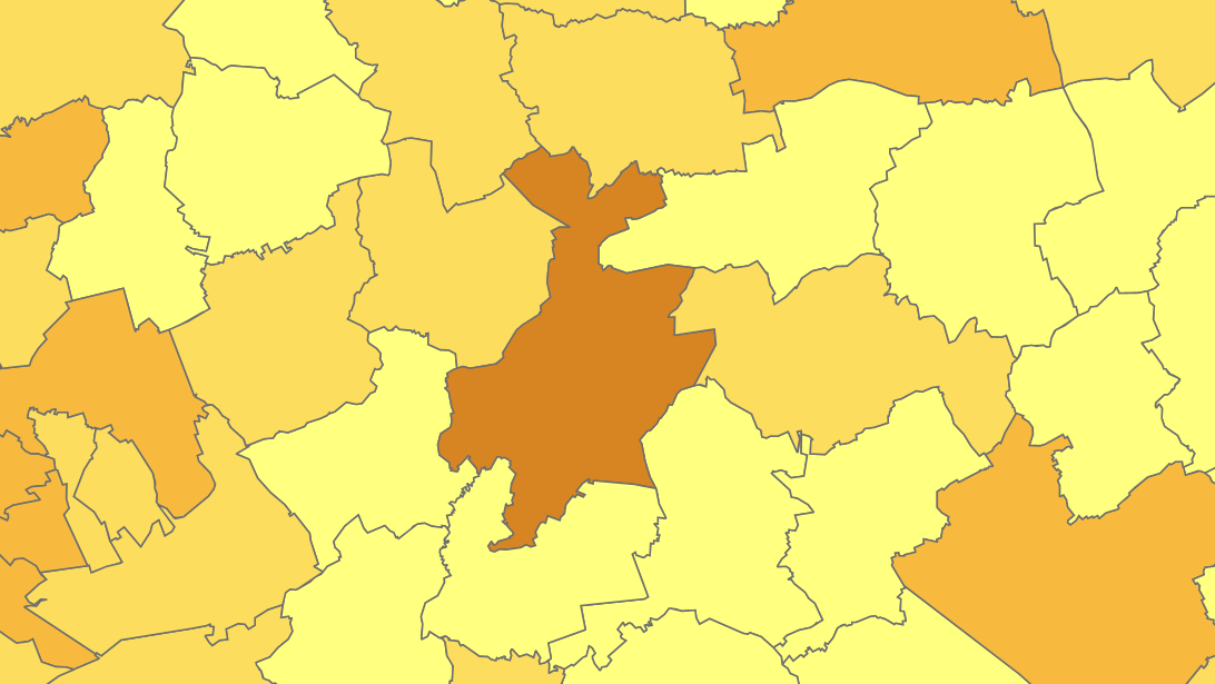
The files contain the population characteristics (total, gender and/or age groups) by municipality in Belgium on January 1st, according to the Belgian definition of the population. The Belgian definition does not take into account the 12-months criterion and excludes asylum seekers. More information at https://ec.europa.eu/eurostat/cache/metadata/en/demo_pop_esms.htm#unit_measure1589188532500.
-

This download service provides object-based access to urban planning data managed through NOVA over the territory of Brussels Region.
-

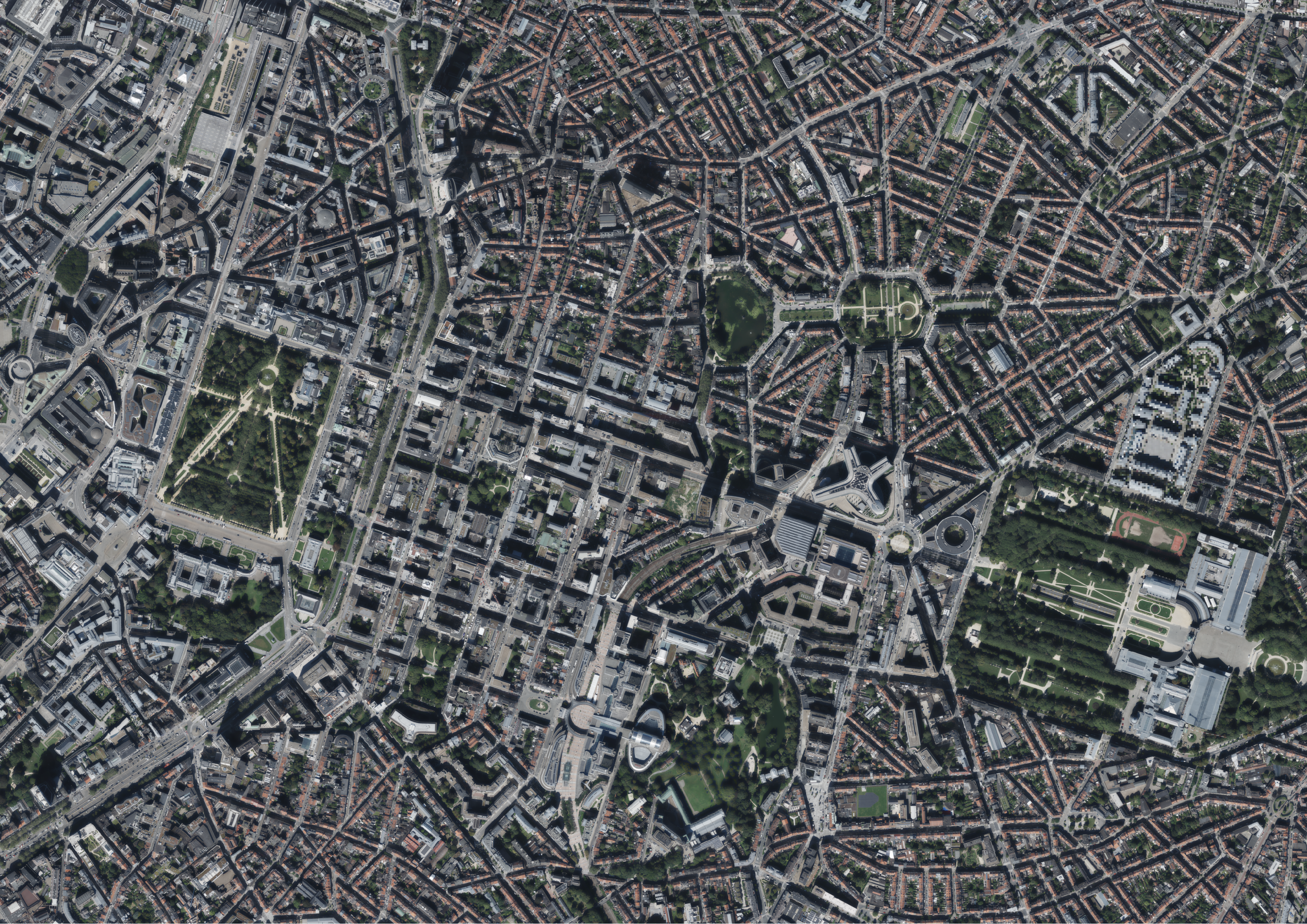
This dataset includes the RGB & NIR (Red, Green, Blue and Near-Infrared) orthophotos created in 2023. The images cover the entire Brussels Capital Region, with a resolution of 40 and 5 centimeters.
-

These map layers include the perimeters of programs and urban renewal operations financed by the Brussels-Capital Region (sustainable neighborhood contracts, urban renewal contracts) as well as the current preemption perimeters.
-
This view service allows, by means of a formatted URL, to display the statistical zones of the Brussels-Capital Region maintained by the Brussels institute for statistics and analysis.
-
Each year, Brussels Environment draws up an energy balance for the Brussels-Capital Region. It is based on the principle of a balance sheet and provides all the energy-related data for the entire Region: quantities of energy imported, exported, produced, transformed and consumed by the different sectors of activity throughout the Region in one year.
 Geobru catalogue