 Geobru catalogue
dataset
Type of resources
Available actions
Topics
INSPIRE themes
Keywords
Contact for the resource
Provided by
Years
Formats
Representation types
Update frequencies
status
Scale
Resolution
-
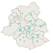
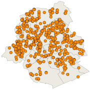
This dataset corresponds to urban agriculture producers. It is made of one geometric classe : the urban agriculture producers's network.
-
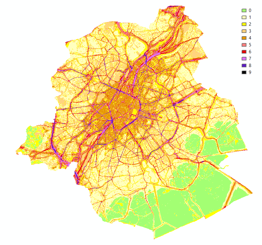
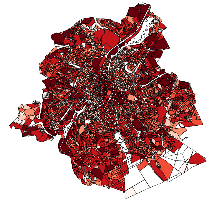
Brussels-Capital Region : This map shows the combined Health Impact Screening score for heat stress, air pollution and noise pollution (0-9) in the Brussels Capital Region. It was produced as part of the 2020 study on the "Impact of 'Nature-Based Solutions' (NBS) on urban residents' exposure to air pollution, noise pollution or high temperatures - Overview of general knowledge and recommendations for the Brussels-Capital Region". This map is a combination of 3 maps: heat stress (24/08/2016), air pollution (2018) and noise pollution (2016). For the methodology used, see p.54. The study report (in dutch) is available at http://document.environnement.brussels/opac_css/elecfile/NatureBasedSolutions
-
This dataset corresponds to analyses and suspicion of contamination of water and soil in the Brussels-Capital Region. It is made up of two objects: cadastral parcels presenting a risk of pollution by PFAS and the results of analysis campaigns by borehole
-
This dataset corresponds to soil condition inventory in the Brussels-Capital Region. It is made up of one geometric classe : cadastral parcels categorised according to a presumption of pollution and any studies and work to treat soil pollution
-
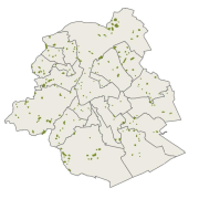
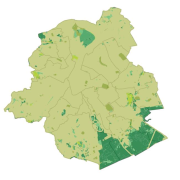
This dataset corresponds to Collective and urban kitchen gardens. It is made of one geometric classe : the collective and urban kitchen gardens.
-
This dataset corresponds the biological evaluation. It is made of four geometric classes : biotopes, roads of biological interest, the typology of regional green spaces with an indication of their biological value, and urban blocs categorised according to the presence of biotopes of high biological value, the level of vegetation and the openness of the built-up frontages to facilitate wildlife mobility,
-
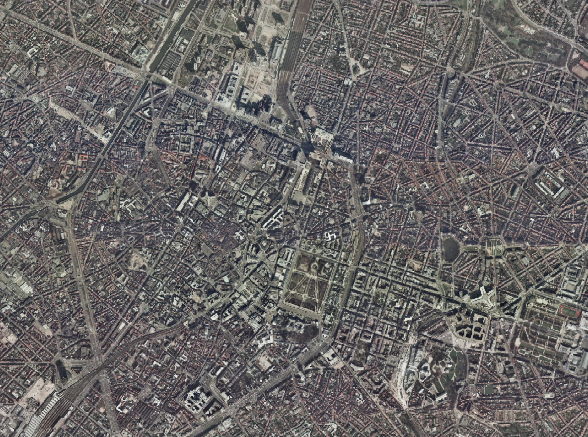
The Brusky Ortho 1996 product is a set of RGB (red, green, blue) orthophotomaps covering the territory of the Brussels Region. The images used for these orthophotoplans were taken in 1996.
-
The publishing of data on Brussels companies with important industrial emissions aims to achieve a high level of environmental protection through integrated prevention and control of pollution from a wide range of industrial and agricultural activities. This complies with the Directive 2010/75/EU of the European Parliament and of the Council of 24 November 2010 on industrial emissions (integrated pollution prevention and control).
-
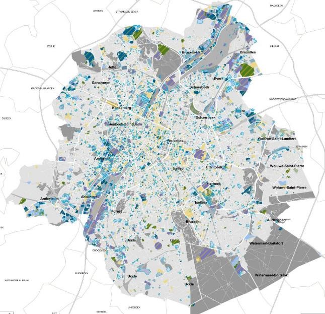
This dataset contains the off-street parking supply in the Brussels-Capital Region. The data is aggregated per cadastral block and classified into 11 categories, where possible. The categories include: residential, office, commercial, industrial, educational, cultural/religious/sporting, hospital/care, public parking, park & ride, public buildings, and others.
-
This dataset corresponds to playgrounds and sport equipment in the Brussels-Capital Region. It is made of two geometric classes : public playgrounds and spublic sport equipment.