asNeeded
Type of resources
Available actions
Topics
INSPIRE themes
Keywords
Contact for the resource
Provided by
Years
Formats
Representation types
Update frequencies
status
Service types
Scale
Resolution
-
This view service allows, by means of a formatted URL, to display vectorial datasets used for managing urban planning permits within the framework of spatial planning in the Brussels-Capital Region.
-
This download service provides donwload access per object to open data published by the municipality of Jette.
-

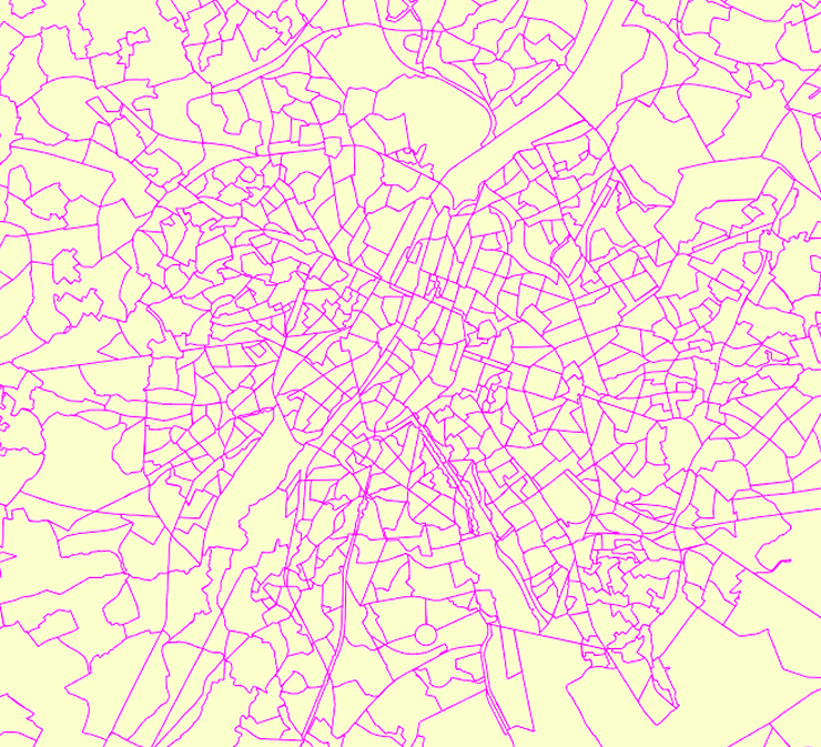
The data set has been established according to the INSPIRE format. It presents in the form of polygons the breakdown of Belgium in almost 20,000 statistical sectors. The statistical sector is the basic territorial unit resulting from the subdivision of the territory of municipalities by STATBEL since 1970 for the dissemination of its statistics at a finer level than the municipal level. A statistical sector cannot extend over two municipalities and any point in the municipal territory is part of one and the same statistical sector. The 1970 and 1981 versions are shown in analogue format while the 2001, 2011, 2018, 2019 etc. versions are available in digital vector format. The files can be linked to the data on population, housing and disposable income on the website of Statbel.
-
This view service allows, by means of a formatted URL, to display all the vectorial datasets related to the perimeters of programs and urban renewal operations financed by the Brussels-Capital Region (sustainable neighborhood contracts, urban renewal contracts) as well as to the current preemption perimeters.
-
For each Brussels municipality, this dataset includes the number of members of municipal councils, inhabitants, voters, votes, valid votes and seats according to lists. The data cover the results of the Brussels municipal elections from 2006 until the most recent elections. The members of the municipal council are elected every six years by all the voters in the municipality, for a period of six years.
-

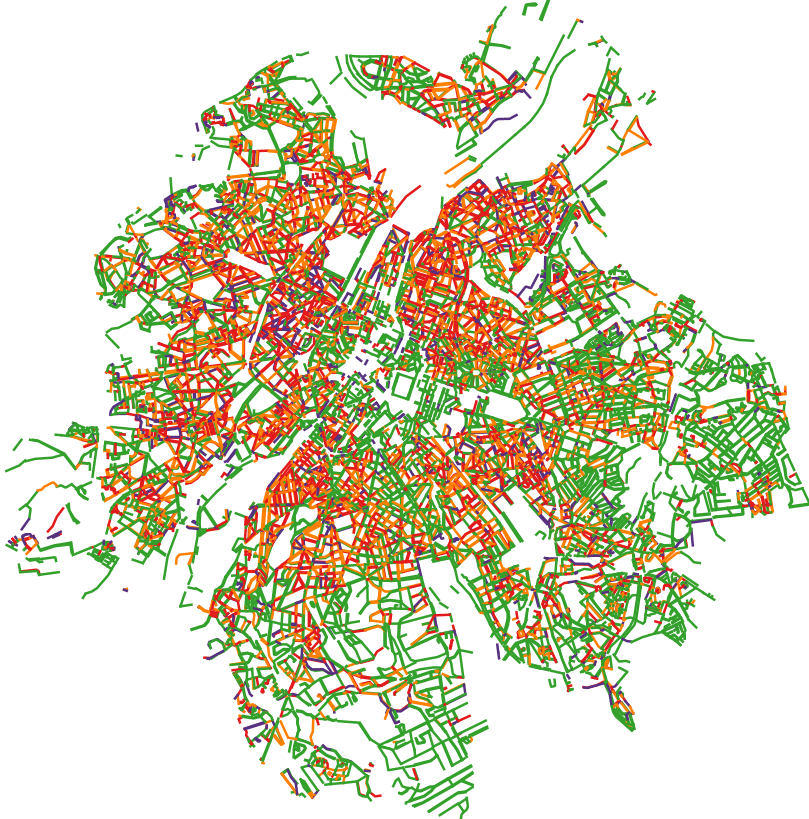
This dataset corresponds to the total occupancy rate of parking demand in 2019 by the different modes of transport (cars and vans, motorised two-wheelers, lorries, other) on all the roads in the Brussels-Capital Region.
-

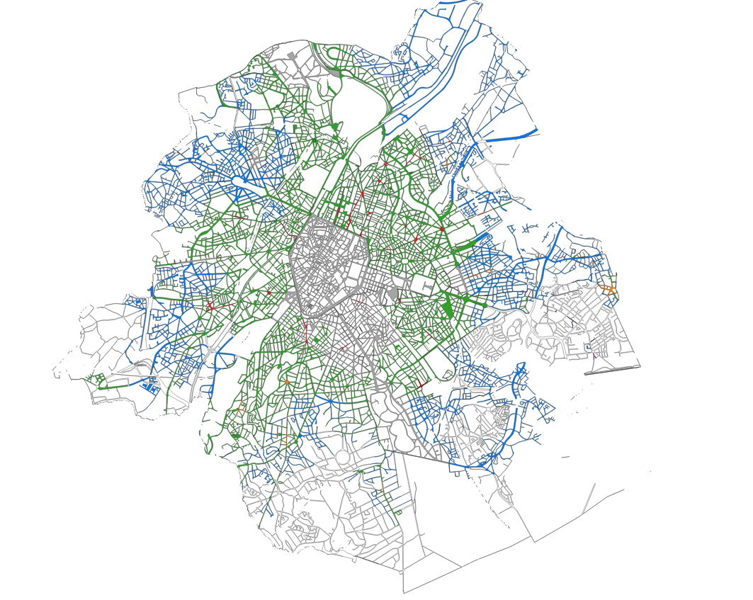
The dataset provides information on the tariff regulations that apply to street parking in the municipalities of the Brussels-Capital Region. It includes details on the spatial coverage and the time-specific application, as well as information on parking durations and fees.
-
This service allows you to view Brussels Environment datasets relating to the theme ‘Utility and governmental services', in accordance with the technical specifications of the INSPIRE directive.
-
This WFS service allows to download Brussels Environment datasets relating to geology and hydrogeology
-
This WMS service allows to display Brussels Environment datasets relating to geology and hydrogeology.
 Geobru catalogue