 Geobru catalogue
GML
Type of resources
Available actions
Topics
INSPIRE themes
Keywords
Contact for the resource
Provided by
Years
Formats
Representation types
Update frequencies
status
Service types
Scale
Resolution
-
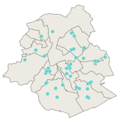
This dataset corresponds to urban agriculture producers. It is made of one geometric classe : the urban agriculture producers's network.
-
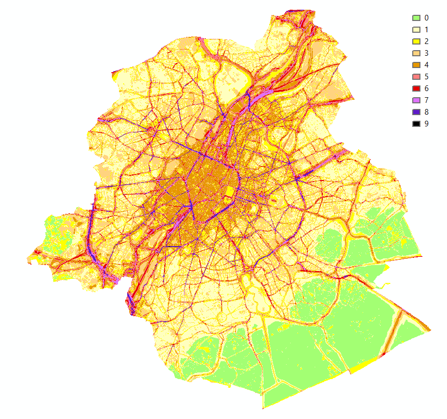
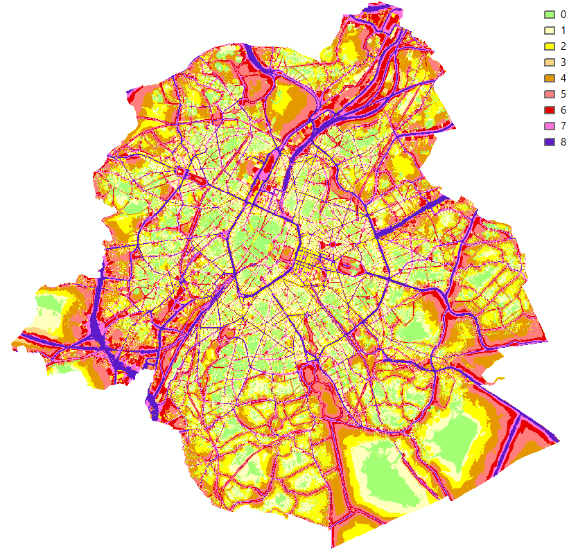
Brussels-Capital Region : This map shows the combined Health Impact Screening score for heat stress, air pollution and noise pollution (0-9) in the Brussels Capital Region. It was produced as part of the 2020 study on the "Impact of 'Nature-Based Solutions' (NBS) on urban residents' exposure to air pollution, noise pollution or high temperatures - Overview of general knowledge and recommendations for the Brussels-Capital Region". This map is a combination of 3 maps: heat stress (24/08/2016), air pollution (2018) and noise pollution (2016). For the methodology used, see p.54. The study report (in dutch) is available at http://document.environnement.brussels/opac_css/elecfile/NatureBasedSolutions
-
This dataset corresponds to analyses and suspicion of contamination of water and soil in the Brussels-Capital Region. It is made up of two objects: cadastral parcels presenting a risk of pollution by PFAS and the results of analysis campaigns by borehole
-
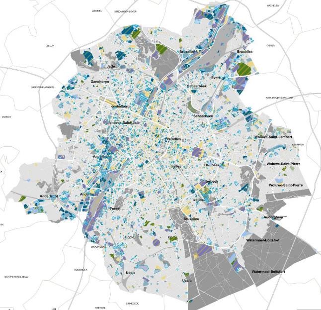
This dataset corresponds to soil condition inventory in the Brussels-Capital Region. It is made up of one geometric classe : cadastral parcels categorised according to a presumption of pollution and any studies and work to treat soil pollution
-
This dataset corresponds to Collective and urban kitchen gardens. It is made of one geometric classe : the collective and urban kitchen gardens.
-
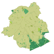
This dataset corresponds the biological evaluation. It is made of four geometric classes : biotopes, roads of biological interest, the typology of regional green spaces with an indication of their biological value, and urban blocs categorised according to the presence of biotopes of high biological value, the level of vegetation and the openness of the built-up frontages to facilitate wildlife mobility,
-
Brussels-Capital Region: This service is the service mapping data visualization of the dataset Hydrography of Brussels Environment (compliant with the data specifications of INSPIRE) including the watercourse network, drainage basin and surface waters of the Brussels-Capital Region.
-
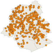
This dataset corresponds to playgrounds and sport equipment in the Brussels-Capital Region. It is made of two geometric classes : public playgrounds and spublic sport equipment.
-
Brussels-Capital Region : This map shows the Health Impact Screening score for noise pollution (0-8) in the Brussels Capital Region. It was produced as part of the 2020 study on the "Impact of 'Nature-Based Solutions' (NBS) on urban residents' exposure to air pollution, noise pollution or high temperatures - Overview of general knowledge and recommendations for the Brussels-Capital Region". This map is based on the 2016 noise pollution maps for road traffic and rail traffic. For the methodology used, see p.51. The study report (in dutch) is available at http://document.environnement.brussels/opac_css/elecfile/NatureBasedSolutions
-
This service allows you to view Brussels Environment datasets relating to the theme "Natural risk zones", in accordance with the technical specifications of the INSPIRE directive.