 Geobru catalogue
10000
Type of resources
Available actions
Topics
INSPIRE themes
Keywords
Contact for the resource
Provided by
Years
Formats
Representation types
Update frequencies
status
Scale
-
This dataset includes the urban planning infractions observed on the territory of the city of Brussels as specified in article 300 of the Code bruxellois de l'aménagement du territoire / Brusselse wetboek van Ruimetelijke ordening.
-
The files contain the population characteristics (total, gender and/or age groups) by municipality in Belgium on January 1st, according to the Belgian definition of the population. The Belgian definition does not take into account the 12-months criterion and excludes asylum seekers. More information at https://ec.europa.eu/eurostat/cache/metadata/en/demo_pop_esms.htm#unit_measure1589188532500.
-
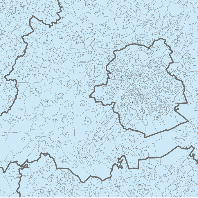
The data set presents in the form of polygons the breakdown of Belgium in almost 20,000 statistical sectors. The statistical sector is the basic territorial unit resulting from the subdivision of the territory of municipalities by STATBEL since 1970 for the dissemination of its statistics at a finer level than the municipal level. A statistical sector cannot extend over two municipalities and any point in the municipal territory is part of one and the same statistical sector. The 1970 and 1981 versions are shown in analogue format while the 2001, 2011, 2018, 2019 etc. versions are available in digital vector format. The files can be linked to the data on population, housing and disposable income on the website of Statbel.
-
This dataset corresponds to applications for urban planning permits filed in the Brussels-Capital Region, as defined in Article 98 of the Brussels Town Planning Code. It includes both municipal and regional permit applications. The data is updated four times a day via the WFS and once a week, on Monday morning, via full download.
-

This dataset contains the latest version of the borders of the Belgian postal codes, including the "special" postal codes (0612, 1049, 6099,…).
-
This dataset corresponds to the inventory of agricultural lands in the Brussels Region. It is made of one geometric class.
-

Land register plan - situation on January 1st corresponds to the dataset of land register from the reference database for the land register data CadGIS. The land register plan is one of the elements that make up the patrimonial documentation. It is defined as “the graphic representation and assembling on a plan of all the cadastral plan parcels of the Belgian territory”. A plan parcel, such as defined in Article 2 of the Royal Decree of 30 July 2018, is a part of Belgian territory, geographically delimited and identified by the General Administration of Patrimonial Documentation on the land register plan, which corresponds to the ground surface area of one or more patrimonial cadastral parcel(s) (real estate property as mentioned in Article 472 of the 1992 Income Tax Code in respect of which the cadastral income is fixed). This dataset corresponds to the legal situation as defined on 1 January of the reference year. It is composed of thirteen geometric classes and one class without geometry. The first class includes the cadastral plan parcels present in the corresponding administrative unit. The second class includes the buildings managed by the General Administration of Patrimonial Documentation, the third class includes the buildings managed by the regions, the fourth class includes equipment and tools, the fifth class includes water bodies, the sixth class includes cadastral blocks, the seventh, easements and paths, the eighth, toponymic lines, the ninth, toponymic points, the tenth, property boundaries, the eleventh, parcel numbers, the twelfth, cadastral divisions, and finally, the thirteenth, cadastral limits. The class without geometry corresponds to the table of tax situations. The dataset can be freely downloaded as a zipped shapefiles.
-

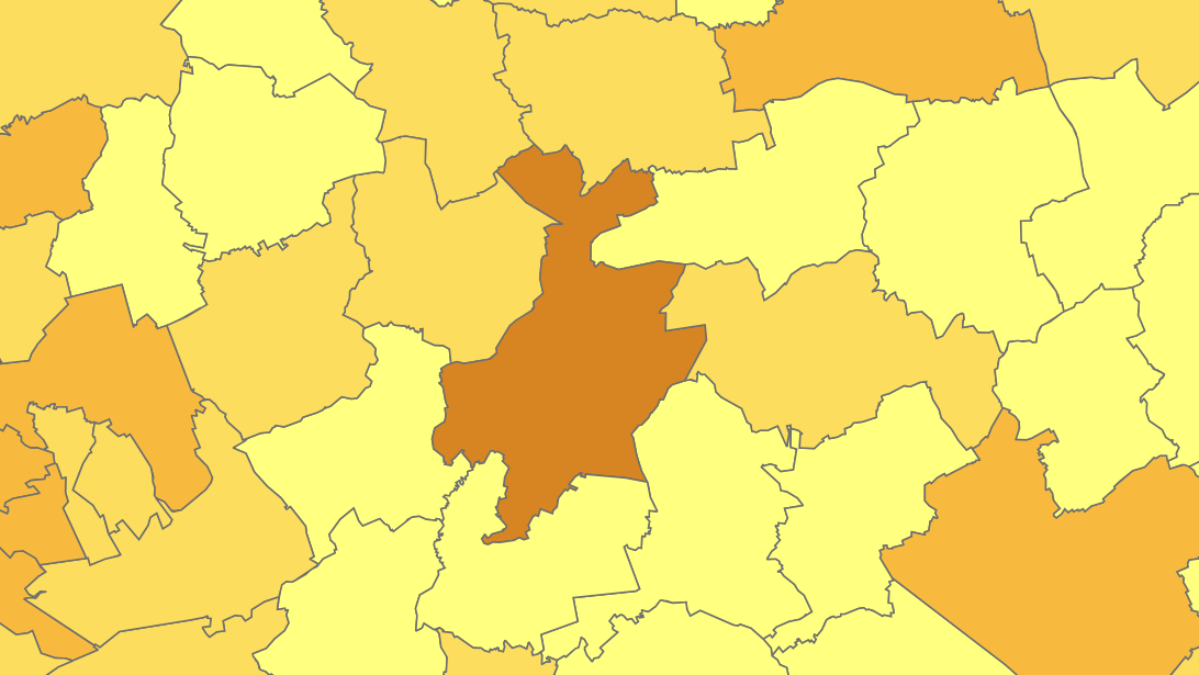
Administrative units corresponds to the dataset of administrative units from the reference database for the land register data. Administrative limits are legally defined by an administrative entity or between two administrative entities. In Belgium, administrative limits as legally defined are fixed and can only be changed by a law, ordinance or decree. The General Administration of Patrimonial Documentation of the FPS Finance is named by the federal authorities as the authentic source of Belgian administrative limits. This dataset corresponds to the legal situation as defined on January 1st of the reference year or to the situation at the specified date. It is composed of seven geometric classes (polygons and lines) and one class without geometry. The first class corresponds to the whole national territory. The second corresponds to the territory of the three regions, the third to the territory of the provinces, the fourth to the territory of the administrative districts, the fifth to the territory of the municipalities, the sixth to the territory of the Antwerp city districts and the seventh to the administrative boundaries in the form of lines. The class without geometry corresponds to the table of tax situations. The dataset can be freely downloaded as a zipped shapefiles.
-
Land register plan - current situation corresponds to the dataset of land register from the reference database for the land register data CadGIS. The land register plan is one of the elements that make up the patrimonial documentation. It is defined as “the graphic representation and assembling on a plan of all the cadastral plan parcels of the Belgian territory”. A plan parcel, such as defined in Article 2 of the Royal Decree of 30 July 2018, is a part of Belgian territory, geographically delimited and identified by the General Administration of Patrimonial Documentation on the land register plan, which corresponds to the ground surface area of one or more patrimonial cadastral parcel(s) (real estate property as mentioned in Article 472 of the 1992 Income Tax Code in respect of which the cadastral income is fixed). This dataset corresponds to the current situation at the time of consultation. It is composed of fourteen geometric layers. The first five are the administrative units, namely the country, the regions, the provinces, the districts and the municipalities. The sixth and seventh layers correspond to the cadastral units, divisions and sections. the eighth layer includes the cadastral blocks, the ninth, the property stones, the tenth, the addresses, the eleventh, the polders and wateringues, the twelfth, the cadastral plan parcels, the thirteenth the buildings managed by the AGDP, and the fourteenth, buildings managed by the regions. The dataset is freely downloadable via the ad hoc WFS.
-
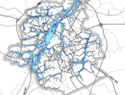
Brussels-Capital Region : This flood hazard map identifies areas where flooding could occur due to stream overflow, runoff from rainwater, overflowing sewers or a temporary rise in the water table, even in places where no flooding has been observed until now. The absence of a flood hazard zone on the map does not guarantee that flooding will never occur as it does not take into account certain causes of flooding such as a local failure of the sewage network, etc. Please note that these maps have no regulatory value, they have been produced in accordance with the European Directive 2007/60/EC to determine the prevention and protection measures. The maximum scale is 1/10.000 as the modelled data are not representative on a larger scale.