continual
Type of resources
Available actions
Topics
INSPIRE themes
Keywords
Contact for the resource
Provided by
Years
Formats
Representation types
Update frequencies
status
Service types
Scale
-

This download service provides donwload access per object to the authentic source for addresses in the Brussels Region, the BeSt Address dataset.
-

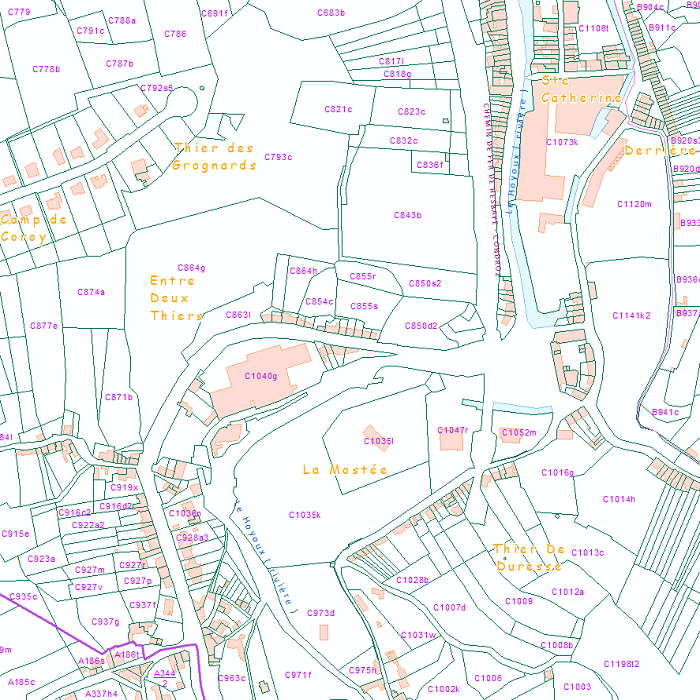
Land register plan - current situation corresponds to the dataset of land register from the reference database for the land register data CadGIS. The land register plan is one of the elements that make up the patrimonial documentation. It is defined as “the graphic representation and assembling on a plan of all the cadastral plan parcels of the Belgian territory”. A plan parcel, such as defined in Article 2 of the Royal Decree of 30 July 2018, is a part of Belgian territory, geographically delimited and identified by the General Administration of Patrimonial Documentation on the land register plan, which corresponds to the ground surface area of one or more patrimonial cadastral parcel(s) (real estate property as mentioned in Article 472 of the 1992 Income Tax Code in respect of which the cadastral income is fixed). This dataset corresponds to the current situation at the time of consultation. It is composed of fourteen geometric layers. The first five are the administrative units, namely the country, the regions, the provinces, the districts and the municipalities. The sixth and seventh layers correspond to the cadastral units, divisions and sections. the eighth layer includes the cadastral blocks, the ninth, the property stones, the tenth, the addresses, the eleventh, the polders and wateringues, the twelfth, the cadastral plan parcels, the thirteenth the buildings managed by the AGDP, and the fourteenth, buildings managed by the regions. The dataset is freely downloadable via the ad hoc WFS.
-

This download service provides object-based access to urban planning data managed through NOVA over the territory of Brussels Region.
-

This view service allows, by means of a formatted URL, to display the address points of the region Brussels, included in the BeSt Address dataset, the authentic source for the Brussels Region.
-

This web service provides a display of the Administrative Units - INSPIRE datase This webservice complies with the INSPIRE specifications.
-
-

Brussels-Capital Region : Entity Address Point (ADPT) is the location of the address points of the Brussels-Capital.
-
Brussels-Capital Region : "any particularly remarquable building, including installations or decorative elements being a constitutive part of it" having been the subject of a decree for its conservation
-

Section of the municipality's territory with a particular use of the land, as stipulated by graphical and written regulations, authorised by decree
-
This dataset includes the urban planning infractions observed on the territory of the city of Brussels as specified in article 300 of the Code bruxellois de l'aménagement du territoire / Brusselse wetboek van Ruimetelijke ordening.
 Geobru catalogue