daily
Type of resources
Available actions
Topics
INSPIRE themes
Keywords
Contact for the resource
Provided by
Years
Formats
Representation types
Update frequencies
status
Scale
-
Vue des UTG (unité technique et géographique) pour les PE
-

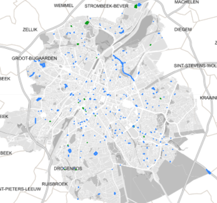
Spatial representation of building permits in the Brussels region
-

This dataset corresponds to applications for urban planning permits filed in the Brussels-Capital Region, as defined in Article 98 of the Brussels Town Planning Code. It includes both municipal and regional permit applications.
-

This dataset corresponds to applications for environmental permits filed in the Brussels-Capital Region, as defined in Title II of the ordonnance of 5 June 1997 regarding environmental permis. It includes both municipal and regional permit applications.
-

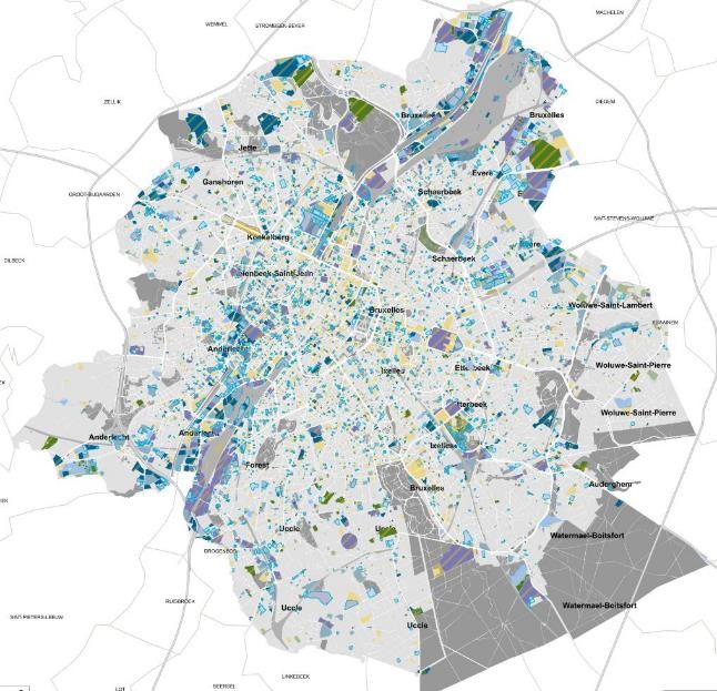
Brussels-Capital Region: The map of soil state includes all land parcels for which Brussels Environment has verified information related to soil quality. Each parcel registered in the inventory falls into a category that reflects a presumption of pollution and the possible studies and treatment of soil pollution that have been carried out there. The data are updated daily.
-
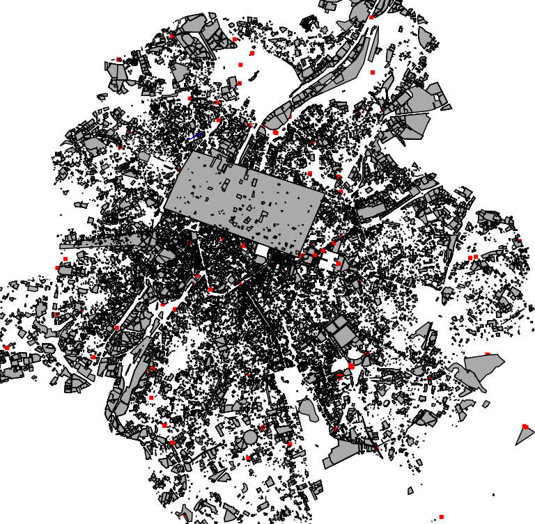
Brussels-Capital Region: 2019 cadastral parcels reworked to match the soil state register
 Geobru catalogue