 Geobru catalogue
5000
Type of resources
Available actions
Topics
INSPIRE themes
Keywords
Contact for the resource
Provided by
Years
Formats
Representation types
Update frequencies
status
Scale
-

This dataset contains the access roads, whether parking is allowed or not, in the Brussels-Capital Region, categorised by type of reglementation, orientation and situation.
-
This dataset corresponds to the landscapes influences, as part of Brussels Environment's City-Nature initiative. It is made of one geometric classe : landscape influences.
-
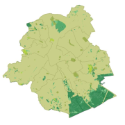
This dataset corresponds to the vegetation cover in the Brussels Capital Region. It is made of two raster images : vegetation 2021, and vegetation 2023.
-
This dataset corresponds to the total occupancy rate of parking demand in 2014 by the different modes of transport (cars and vans, motorised two-wheelers, lorries, other) on all the roads in the Brussels-Capital Region.
-
This dataset contains the on-street parking supply in the Brussels-Capital Region, categorised by type of reglementation, orientation and situation.
-
The indicative inventory of natural heritage: these various cartographic layers are essential for a comprehensive understanding of natural heritage, allowing authorities and stakeholders to monitor, protect, and promote trees and sites with heritage value (gardens, squares, parks, woods) in the region. The inventory of architectural heritage. The archaeological and historical inventory of the Brussels Region: this group of cartographic layers presents a detailed thematic inventory of archaeological and historical sites in the center of Brussels (Pentagon).
-
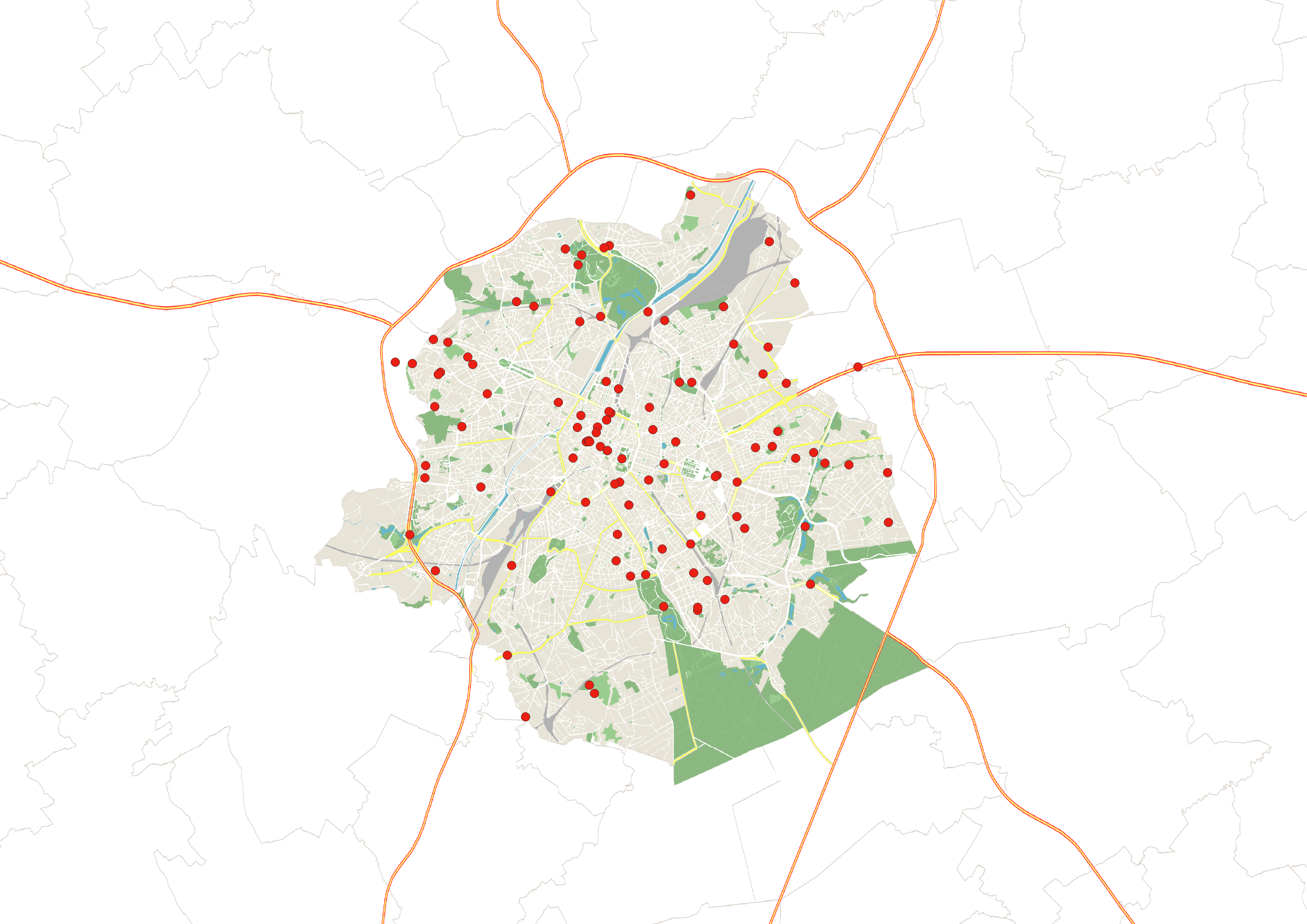
This dataset is an inventory of toilets accessible to the public in the Brussels-Capital Region in 2023. It includes information on the price and number of toilets available, their opening hours, access for people with reduced mobility, and whether a sink and changing table are available. It is freely available to download as an Excel file.
-
These various map layers are essential for the effective management of cultural heritage (real estate) in the Brussels-Capital region. They enable authorities and stakeholders to monitor, protect, and promote this valuable cultural legacy. Protected Properties: This map layer displays the locations of cultural properties that are officially protected by the relevant authorities. Protection Zones: This map layer shows the designated protection zones around the protected properties.
-

This dataset corresponds to the areas with a lack of green spaces accessible to the public in the Brussels-Capital Region, in accordance with the objectives of the Regional Nature Plan 2016-2024. It is made of one geometric classes : Areas with a lack of green spaces accessible to the public
-

This dataset corresponds to the trees managed by Brussels Environment. It is made of one geometric classe : trees managed by Brussels Environment.