view
Type of resources
Available actions
INSPIRE themes
Keywords
Contact for the resource
Provided by
Years
Formats
Update frequencies
status
Service types
-

This tiled view service gives access to tiled georeferenced maps of UrbIS from data updated annually.
-
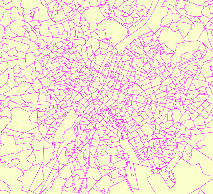
This view service allows, by means of a formatted URL, to display the statistical zones of the Brussels-Capital Region maintained by the Brussels institute for statistics and analysis.
-

This view service allows, by means of a formatted URL, to display the UrbIS Topo reference vector dataset.
-

This view service allows, by means of a formatted URL, to visualize UrbIS data from data updated annually.
-

This web service provides a display of the dataset Cadastral parcels - INSPIRE. This webservice complies with the INSPIRE specifications and is available in several formats. It is recommended to use the PNG format.
-

This view service allows, by means of a formatted URL, to display all the UrbIS vectorial datasets.
-

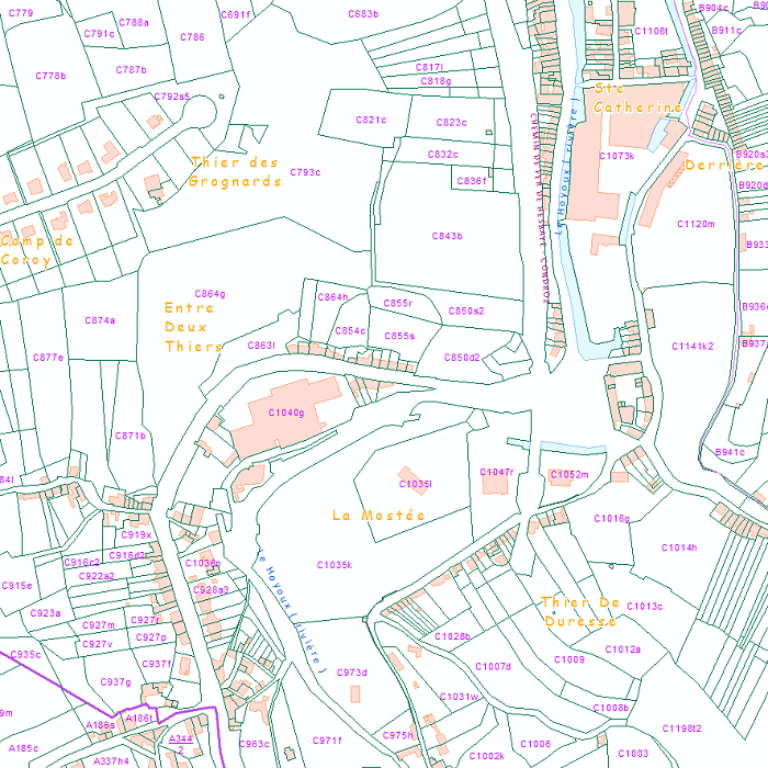
This web service provides the display of the datasets Administrative units - current situation and Land register plan - current situation. This webservice does not comply with the INSPIRE specifications, and the datasets to which it gives access do not comply with the INSPIRE specifications. This web service is available in several formats. It is recommended to use the PNG format.
-

Deze web-service verzekert de visualisatie van de gegevens van de FOD Economie, conform aan de specificaties van INSPIRE. De datasets waarvan de structuur conform de specificaties van INSPIRE zijn, zijn opgenomen.
-

This web service provides a display of the Administrative Units - INSPIRE datase This webservice complies with the INSPIRE specifications.
-

This view service allows, by means of a formatted URL, to display all the UrbIS basemaps. These are available in color or black and white, and with annotations in French or in Dutch, or without annotations.
 Geobru catalogue