 Geobru catalogue
500
Type of resources
Available actions
Topics
INSPIRE themes
Keywords
Contact for the resource
Provided by
Years
Formats
Representation types
Update frequencies
status
Scale
-
This dataset corresponds to urban agriculture producers. It is made of one geometric classe : the urban agriculture producers's network.
-
This dataset corresponds to citizensprojects "Inspirons Le Quartier" in the Brussels Region. It is made of two geometric classes : collective and sustainable citizen initiatives and sustainable citizen neighborhoods.
-
This dataset corresponds to the greenway. It is made of one geometric classe : the greenway.
-
This dataset corresponds to the nitrate-vulnerable zone in accordance with the prescriptions of the European Directive 91/676/EEC, by the Ministerial Order of 25 May 1999. It is made of one geometric classe : the nitrate-vulnerable zone.
-
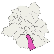
Brussels-Capital Region : data on the 5 Groundwaterbody of the Area of Brussels, defined under the Directive and the Ordinance Water : code European, code of Brussels and name of the water mass, hydrographic district
-
School contract is a regional program for urban renewal. It aims to upgrade school neighbourhoods in Brussels and strengthen the relationship between schools and their surroundings.
-
This dataset corresponds to approved animal establishments in the Brussels-Capital Region, in accordance with the Royal Decree of April 27, 2007, laying down the conditions for the approval of establishments for animals and the conditions for the marketing of animals.. It is made of one geometric class.
-
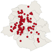
This dataset corresponds to electrowave measurement points in the Brussels-Capital Region. It is made of one geometric class.
-

This dataset corresponds to the piezometry of the phreatic system in the Brussels-Capital Region. It is made of four geometric classes: piezometric levels in the Brussels phreatic system, phreatic level heights, phreatic level depths, and phreatic level depths (HD).
-
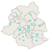
This dataset contains the locations of the wifi.brussels network's hotspots managed by IRISnet in the Brussels-Capital Region.