 Geobru catalogue
CSV
Type of resources
Available actions
Topics
INSPIRE themes
Keywords
Contact for the resource
Provided by
Years
Formats
Representation types
Update frequencies
status
Scale
-
The UrbIS - Mapping M7 to M8 product corresponds to the mapping between identifiers of some M7 objects and their equivalents in M8 when the identifiers are not identical. The mapping is performed as follows: ADPT in M7 corresponds to Addresses in the M8 Parcels and Buildings product; 3D BU in M7 corresponds to Three-dimensional buildings in the M8 3D Constructions product; and 2D BU in M7 corresponds to Buildings in the M8 Parcels and Buildings product. The dataset is freely downloadable as three csv files.
-
This dataset brings together air quality measurements from the Brussels telemetry network. It includes data on concentrations of the main atmospheric pollutants recorded at stations in the Brussels-Capital Region telemetric network, enabling compliance with air quality standards to be assessed and changes in pollutant concentrations to be monitored.
-
The dataset covers concentrations of pollutants subject to quality standard, pollutants posing a risk for environment and health, other pollutant and pollutant indicators mesured in groundwater characterised in the Frame Water Directive (2000/60/EC). The dataset also includes assessment of chemical status of groundwater and the identification and reversal of significant and sustained trends.
-
The UrbIS - Points of interest product corresponds to the points of interest dataset for the Brussels Region. This dataset consists of a single geometric class representing these points of interest. The dataset is freely downloadable as zipped files and via the ad hoc WFS.
-
This dataset shows, for each Brussels municipality, the projected population by age and sex, over the period from 2026 to 2035. The population projections are carried out according to the methodologies described in the Cahier of the BISA No. 13.
-
This dataset includes Renolution grants delivered to applicants. These are intended to support renovation and energy-saving work on buildings in the Brussels-Capital Region.
-
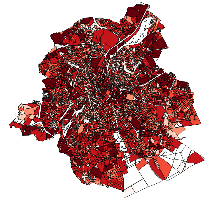
This dataset contains the off-street parking supply in the Brussels-Capital Region. The data is aggregated per cadastral block and classified into 11 categories, where possible. The categories include: residential, office, commercial, industrial, educational, cultural/religious/sporting, hospital/care, public parking, park & ride, public buildings, and others.
-

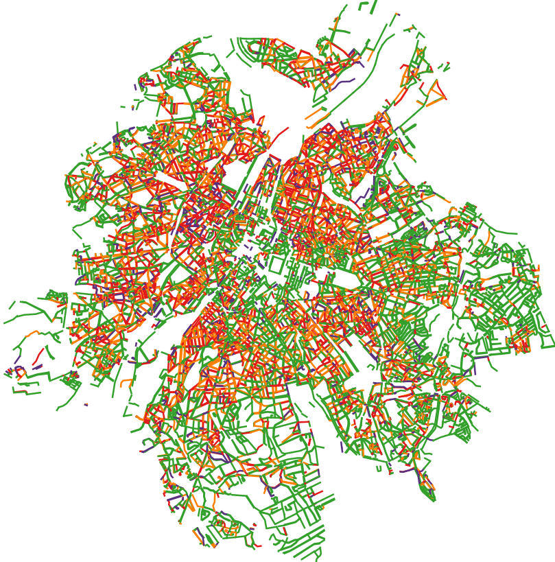
This dataset contains the access roads, whether parking is allowed or not, in the Brussels-Capital Region, categorised by type of reglementation, orientation and situation.
-
This dataset contains the on-street parking supply in the Brussels-Capital Region, categorised by type of reglementation, orientation and situation.
-
This dataset corresponds to the total occupancy rate of parking demand in 2019 by the different modes of transport (cars and vans, motorised two-wheelers, lorries, other) on all the roads in the Brussels-Capital Region.