 Geobru catalogue
2022
Type of resources
Available actions
Topics
INSPIRE themes
Keywords
Contact for the resource
Provided by
Years
Formats
Representation types
Update frequencies
status
Service types
Scale
Resolution
-

-
No abstract
-
The study details the steps leading to the creation of a DPS: identification of the target public, development of the offer, opening hours, hardware and software, personnel, sources of funding and communication
-
No abstract
-
Commissioned by Brussels Environment, BovaEnviro+ went in search of innovative inspection technologies and techniques to assist environmental monitoring officers, or inspectors, in carrying out their inspections. The report includes: an inventory of the information and concerns of the inspectors regarding the project; an overview of the technologies and techniques used in Belgium - outside Brussels - and in other European countries (France, the Netherlands and Germany); an assessment of the advantages/disadvantages (limitations) of the selected technologies and techniques; and an overview of the costs of the technologies and techniques and an inventory of potential suppliers. The study was split into three issues: - issue 1: air quality, climate and emissions of air pollutants ; - issue 2: noise and vibration ; - issue 3: surface waters.
-
This report contains 38 recommendations that will go beyond the accessibility standards (WCAG 2.1 AA) to make online public services inclusive for all citizens. In addition to these recommendations, the second part of this report presents a framework for IT developers, listing the technical criteria for applying these recommendations
-
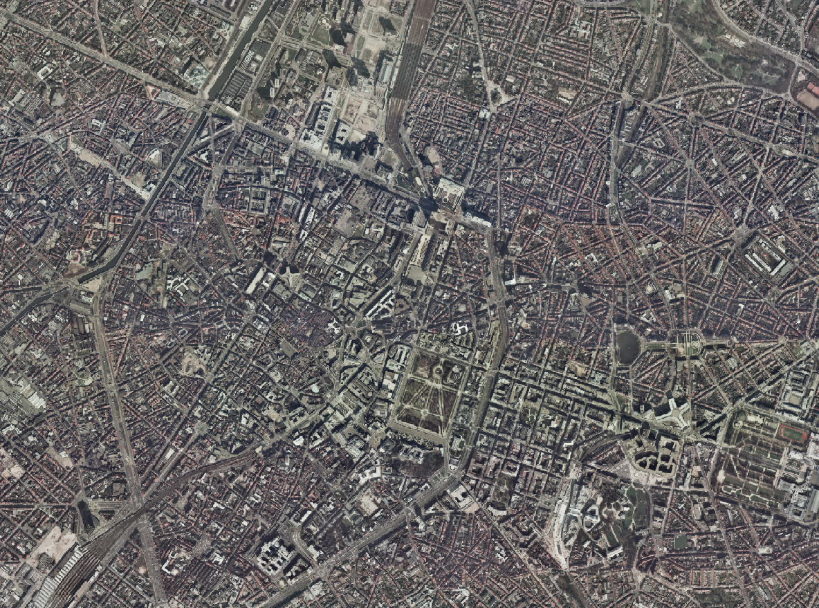
The Brusky Ortho 1996 product is a set of RGB (red, green, blue) orthophotomaps covering the territory of the Brussels Region. The images used for these orthophotoplans were taken in 1996.
-
Commissioned by Brussels Environment, BovaEnviro+ went in search of innovative inspection technologies and techniques to assist environmental monitoring officers, or inspectors, in carrying out their inspections. The report includes: an inventory of the information and concerns of the inspectors regarding the project; an overview of the technologies and techniques used in Belgium - outside Brussels - and in other European countries (France, the Netherlands and Germany); an assessment of the advantages/disadvantages (limitations) of the selected technologies and techniques; and an overview of the costs of the technologies and techniques and an inventory of potential suppliers. The study was split into three issues: - issue 1: air quality, climate and emissions of air pollutants ; - issue 2: noise and vibration ; - issue 3: surface waters.
-
Description of the pedagogical, social and technical skills of a digital inclusion facilitator, based on the DIGCOMP framework, and an example of questions to ask in a job interview.
-
Conducting a performance audit on the SREA sector