 Geobru catalogue
2016
Type of resources
Available actions
Topics
INSPIRE themes
Keywords
Contact for the resource
Provided by
Years
Formats
Representation types
Update frequencies
status
Scale
Resolution
-
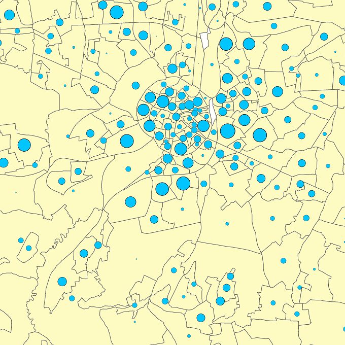
The files contain the population characteristics (total, gender and/or age groups) by statistical sector in Belgium on January 1st, according to the Belgian definition of the population. The Belgian definition does not take into account the 12-months criterion and excludes asylum seekers. More information at https://ec.europa.eu/eurostat/cache/metadata/en/demo_pop_esms.htm#unit_measure1589188532500.
-
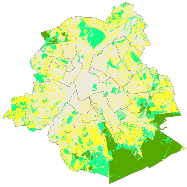
This dataset corresponds to Brussels ecological network, as defined by the nature ordinance of 1 March 2012 and mapped in the Nature Plan. It is made of one geometric classe : the Brussels ccological network, a typology of regional green spaces according to their ecological importance.
-

The orthophotos of the Brussels-Capital are made on the basis of large-scale aerial photographs. This orthophoto covers the whole territory of the region. Orthophotos available from 2016.
-
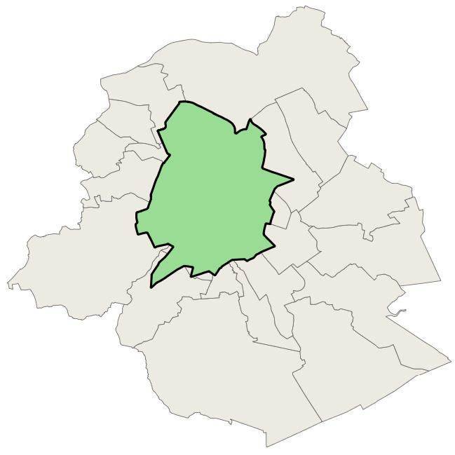
This dataset corresponds to the priority greening zone. It is made of one geometric classe : the priority greening zoneas defined in the Regional Plan for Sustainable Development (RPSD).
-
Brussels-Capital Region : the orthophotos of the Brussels-Capital are made on the basis of large-scale aerial photographs. This orthophoto covers the whole territory of the region. Orthophotos available from 2016.
-

The orthophotos of the Brussels-Capital are made on the basis of large-scale aerial photographs. This orthophoto covers the whole territory of the region. Orthophotos available from 2014.
-

The orthophotos of the Brussels-Capital are made on the basis of large-scale aerial photographs. This orthophoto covers the whole territory of the region. Orthophotos available from 2004.
-

The orthophotos of the Brussels-Capital are made on the basis of large-scale aerial photographs. This orthophoto covers the whole territory of the region. Orthophotos available from 2009.
-
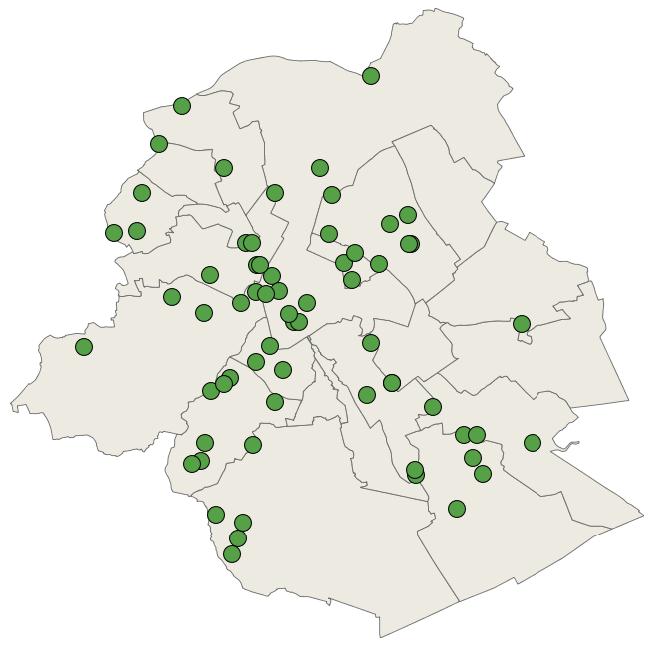
Brussels-Capital Region : In numerous Brussels neighbourhoods, the Brussels-Capital Region, in partnership with the municipalities, has made available land where the residents can develop a collective kitchen garden project. The initiative offers members the opportunity to inexpensively practise an outdoor activity and to obtain healthy food. The collective or individual kitchen garden is of course also the best way to eat fresh, local and seasonal fruits and vegetables, and thus to reduce the environmental impact of one’s food. The dataset resumes the name of the kitchen garden.
-

The orthophotos of the Brussels-Capital are made on the basis of large-scale aerial photographs. This orthophoto covers the whole territory of the region. Orthophotos available from 2012.