irregular
Type of resources
Available actions
Topics
INSPIRE themes
Keywords
Contact for the resource
Provided by
Years
Formats
Representation types
Update frequencies
status
Scale
Resolution
-

This dataset contains the access roads, whether parking is allowed or not, in the Brussels-Capital Region, categorised by type of reglementation, orientation and situation.
-

These map layers provide part of the information used for managing urban planning permits within the framework of spatial planning in the Brussels-Capital Region. The perimeters involved are as follows: subdivision permits and urban planning permits issued or still under consideration, municipal regulations and zoned municipal regulations, various zoning areas concerning advertising and signs as well as accessibility related to public transportation from the RRU 2006, land allocated for industry and priority development hubs.
-

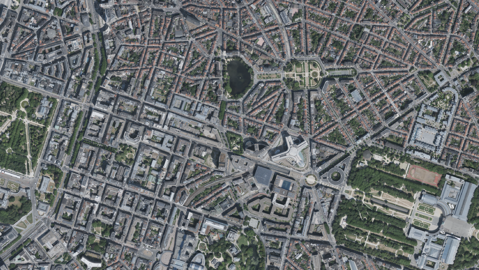
This dataset includes the RGB & NI (Red, Green, Blue and Near-Infrared) orthophotos created in 2022. The images cover the entire Brussels Capital Region, with a resolution of 5 centimeters. The dataset is freely downloadable as a zipped file.
-
This layer includes the collective opinions issued by the Royal Commission of Monuments and Sites on both protection proposals and requests for work on buildings or sites, whether or not they are protected. The description of each specific procedure, during which the RCMS provides its opinion, is available on its website: https://crms.brussels/procedures.
-

The product Airborne LiDAR (Light Detection and Ranging) pountcloud provides a three-dimensional vector model covering the Brussels-Capital region. This is the product of several LiDAR data collection campaigns captured from the air. The data is available in open data, via a visualization tool and direct download as a Las file.
-
This layer shows the locations of monuments, ensembles, trees, and sites listed in legal inventories.
-

The "UrbIS - Contour lines" product represents the elevation of the Brussels region by means of contour lines with intervals of 0.5 metres. The dataset is freely downloadable as a zipped file.
-

These map layers include the perimeters of programs and urban renewal operations financed by the Brussels-Capital Region (sustainable neighborhood contracts, urban renewal contracts) as well as the current preemption perimeters.
-

The 2012 Triangulated irregular network (TIN) product is a mesh composed of irregular triangles. The dataset is freely downloadable as a zipped file.
-

The indicative inventory of natural heritage: these various cartographic layers are essential for a comprehensive understanding of natural heritage, allowing authorities and stakeholders to monitor, protect, and promote trees and sites with heritage value (gardens, squares, parks, woods) in the region. The inventory of architectural heritage. The archaeological and historical inventory of the Brussels Region: this group of cartographic layers presents a detailed thematic inventory of archaeological and historical sites in the center of Brussels (Pentagon).
 Geobru catalogue