Regions and cities
Type of resources
Available actions
Topics
INSPIRE themes
Keywords
Contact for the resource
Provided by
Years
Formats
Representation types
Update frequencies
status
Service types
Scale
Resolution
-
Web Map Service for the BISA layers
-

This download service provides object-based access to urban planning data managed through NOVA over the territory of Brussels Region.
-
This download service provides object-based access to statistical areas of the Brussels-Capital Region maintained by the Brussels institute for statistics and analysis.
-
This service allows downloading of Paradigm's datasets.
-

This download service provides object-based access to urban planning data managed through NOVA over the territory of Brussels Region.
-

These map layers provide part of the information used for managing urban planning permits within the framework of spatial planning in the Brussels-Capital Region. The perimeters involved are as follows: subdivision permits and urban planning permits issued or still under consideration, municipal regulations and zoned municipal regulations, various zoning areas concerning advertising and signs as well as accessibility related to public transportation from the RRU 2006, land allocated for industry and priority development hubs.
-

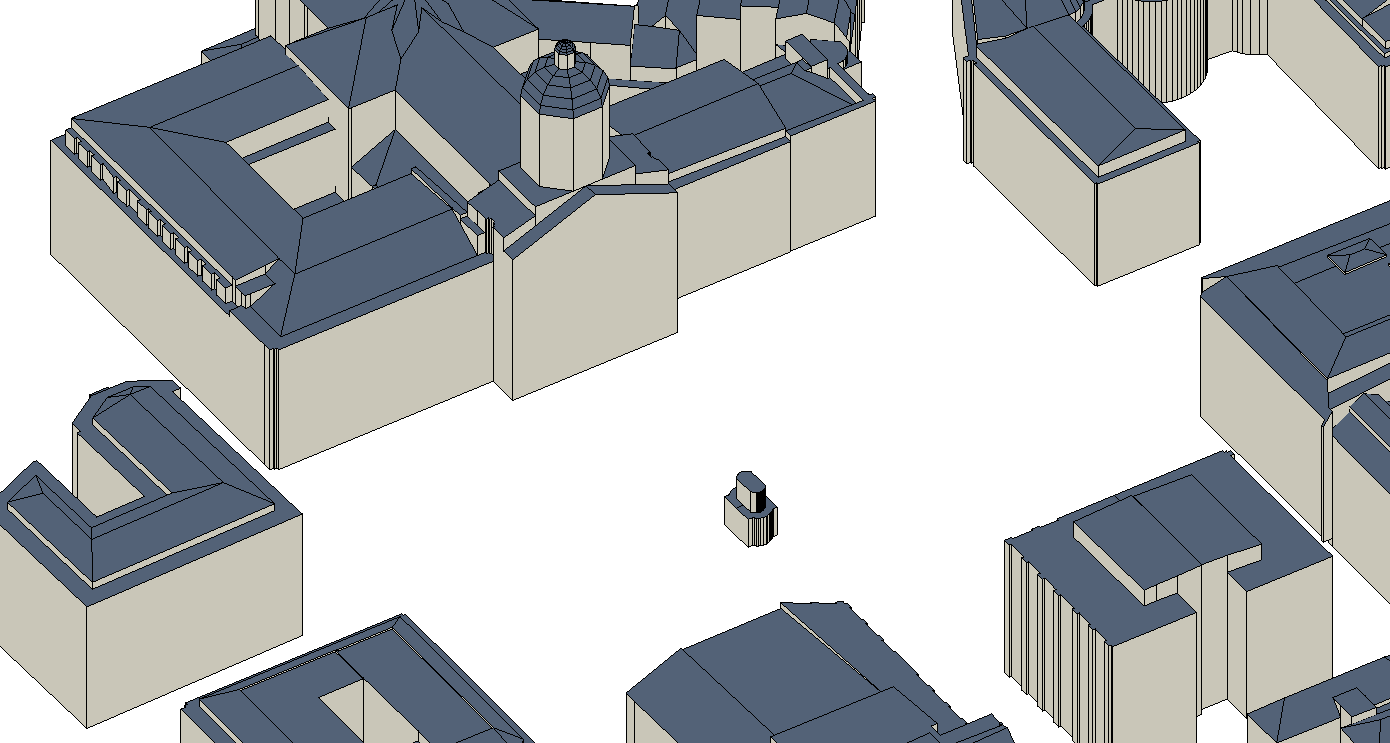
The UrbIS - Constructions 3D product corresponds to the dataset of three-dimensionally modeled buildings located in the Brussels Region. It includes both buildings and engineering structures. It comprises five classes: (1) the first corresponds to three-dimensional buildings; (2) the second to buildings' faces; (3) the third to three-dimensional engineering structures; and finally, (4) the fourth to engineering structures' faces. The dataset is freely downloadable as a zipped file. The first and third classes of this dataset are not supported by the GeoPackage format.
-

This view service allows, by means of a formatted URL, to display all the UrbIS basemaps. These are available in color or black and white, and with annotations in French or in Dutch, or without annotations. It is recommended to avoid using this service for viewers or front-end applications, and to prefer the "Tiled view service - UrbIS" instead.
-

This view service allows, by means of a formatted URL, to display the address points of the region Brussels, included in the BeSt Address dataset, the authentic source for the Brussels Region.
-

This download service allows, by means of a formatted URL, to download any object of the 2D vectorial datasets that compose UrbIS M7.
 Geobru catalogue