 Geobru catalogue
denominator
250
Type of resources
Available actions
Topics
INSPIRE themes
Keywords
Contact for the resource
Provided by
Years
Formats
Representation types
Update frequencies
status
Scale
From
1
-
1
/
1
-
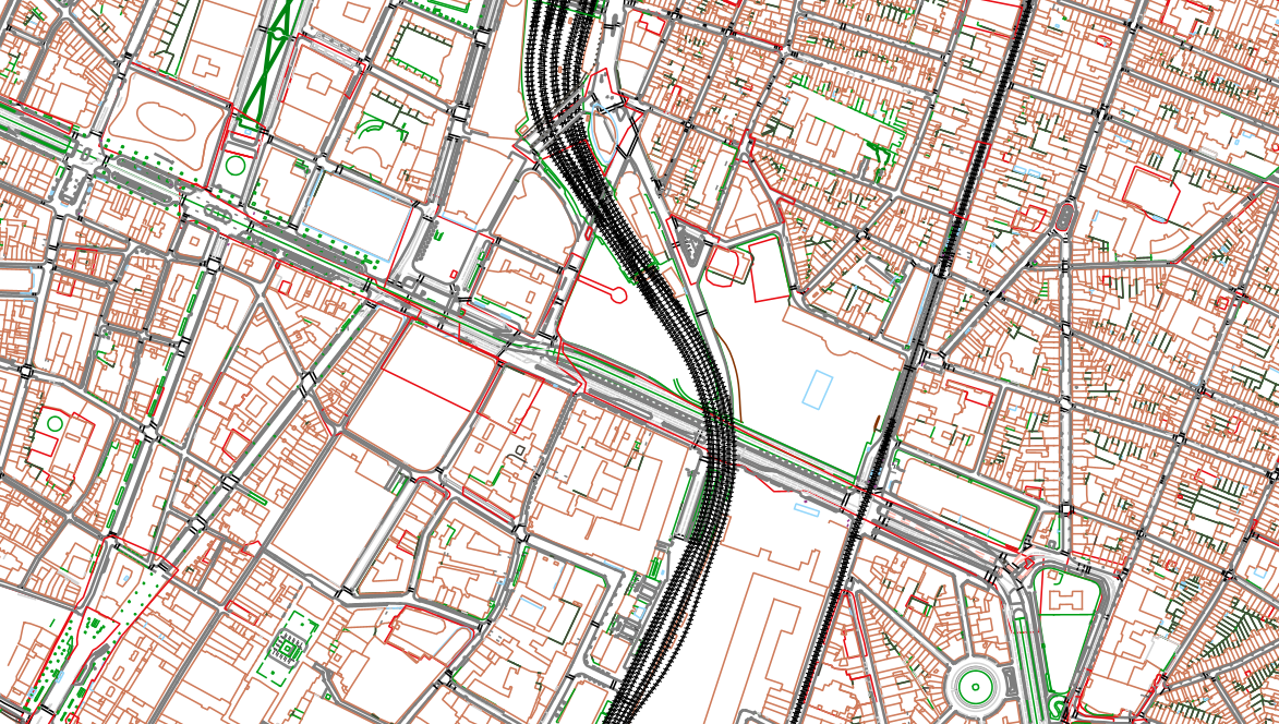
The UrbIS - Topo product is a catalogue of topographic geospatial vector data that contains geometric data, mainly lines, symbols and text. The product offers a digital representation of reality on a large scale through layers grouped by themes (e.g., buildings, roads, green spaces, etc.) and which can contain up to several tens of thousands of elements. The dataset is freely downloadable as a zipped file.