GeoPackage
Type of resources
Available actions
Topics
INSPIRE themes
Keywords
Contact for the resource
Provided by
Years
Formats
Representation types
Update frequencies
status
Scale
Resolution
-
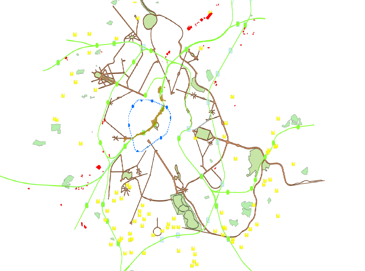
This dataset is made up of numerous types of objects corresponding to a range of different layouts or the location of various buildings or activities.
-
This dataset represents the consolidated version of the zoning map from the Regional Land Use Plan (Plan Régional d’Affectation du Sol – PRAS), as referenced in Article 24 of the Brussels Land Use Code (CoBAT). It consists of a single geometry layer corresponding to the zones on the map where land use designations are specified. The dataset is freely accessible via an ad hoc WMS service.
-
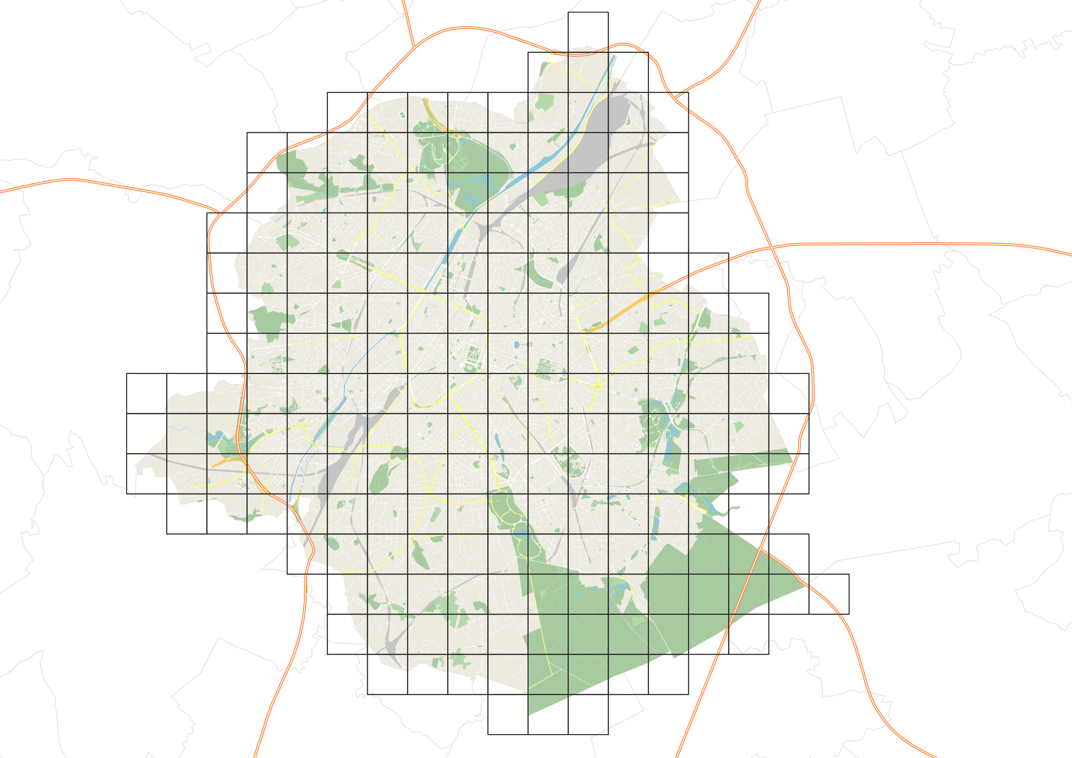
This dataset corresponds to the mesh delimiting the boxes (also called grids) used in UrbIS. The mesh covers the entire territory of the Brussels-Capital Region, and the boxes are one kilometer on each side.
-
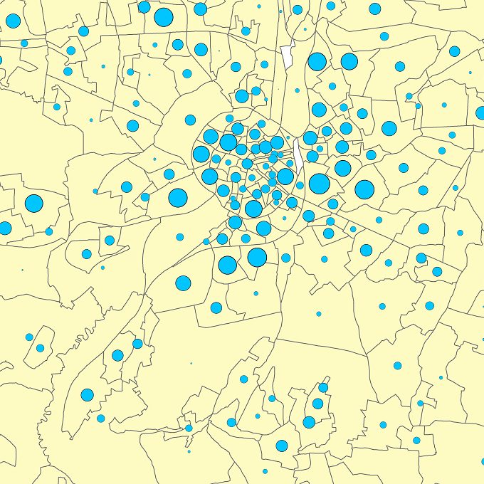
The files contain the population characteristics (total, gender and/or age groups) by statistical sector in Belgium on January 1st, according to the Belgian definition of the population. The Belgian definition does not take into account the 12-months criterion and excludes asylum seekers. More information at https://ec.europa.eu/eurostat/cache/metadata/en/demo_pop_esms.htm#unit_measure1589188532500.
-
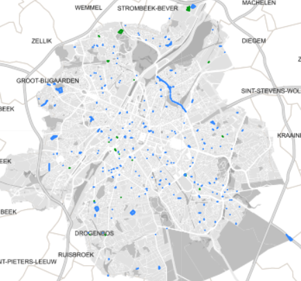
Spatial representation of building permits in the Brussels region
-
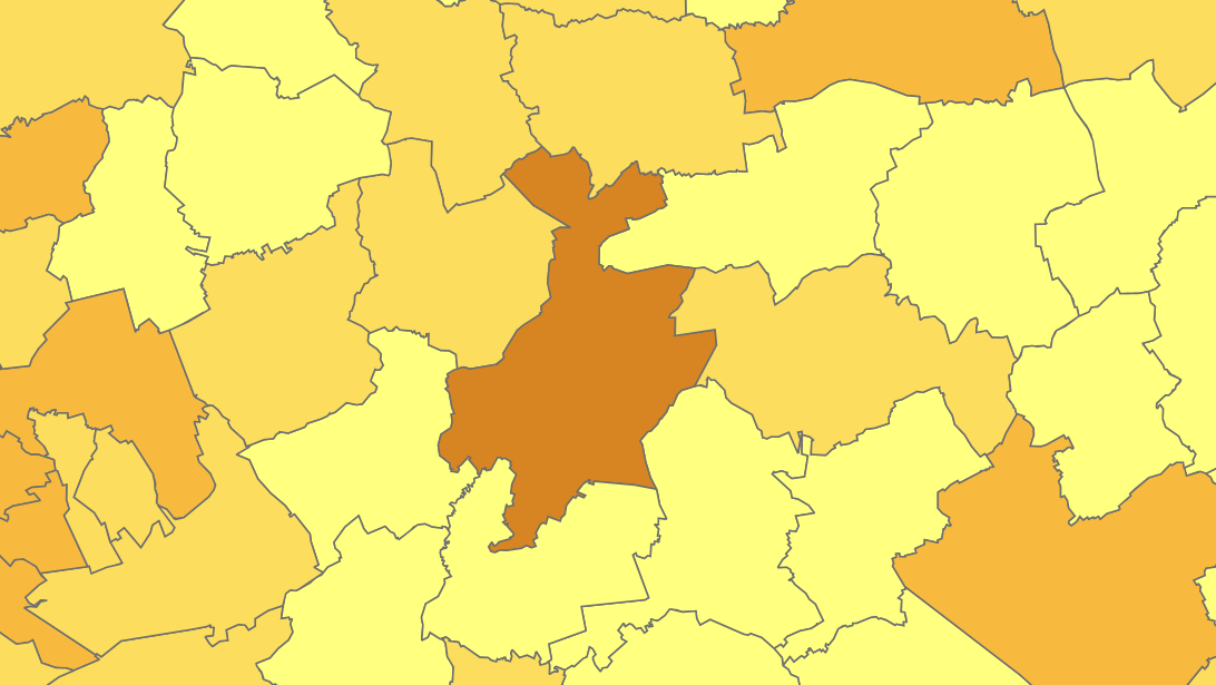
The files contain the population characteristics (total, gender and/or age groups) by municipality in Belgium on January 1st, according to the Belgian definition of the population. The Belgian definition does not take into account the 12-months criterion and excludes asylum seekers. More information at https://ec.europa.eu/eurostat/cache/metadata/en/demo_pop_esms.htm#unit_measure1589188532500.
-
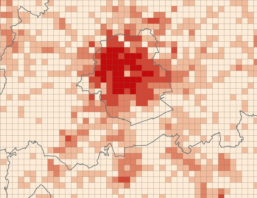
The files contain the population characteristics (total, gender and/or age groups) by 1 km² square grid cell in Belgium on January 1st, according to the European definition of the population. The European definition takes into account the 12-months criterion and includes asylum seekers. More information at https://ec.europa.eu/eurostat/cache/metadata/en/demo_pop_esms.htm#unit_measure1589188532500.
-
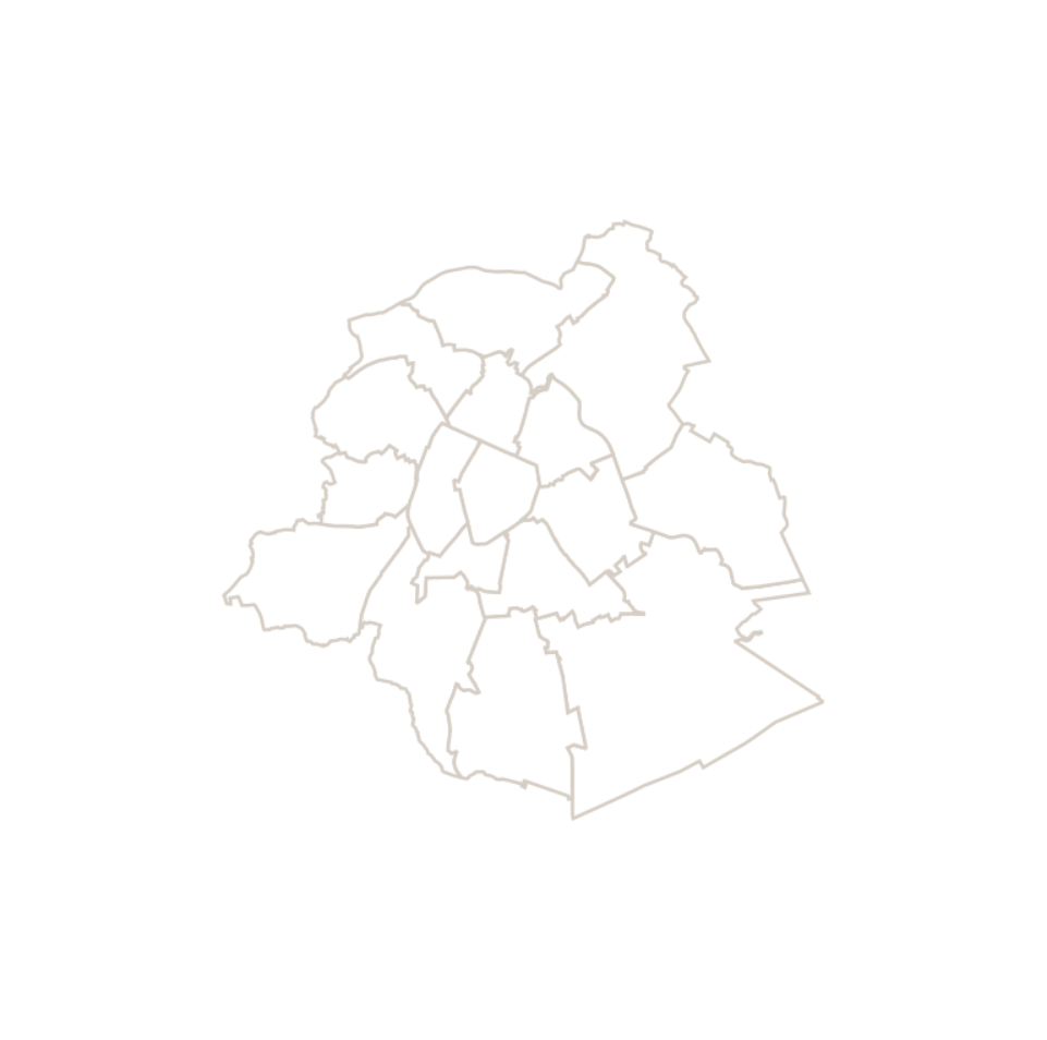
This dataset corresponds to the macrozone dataset, i.e. the highest-level statistical partition of the Brussels-Capital Region (the Region is divided into 17 macrozones).
-
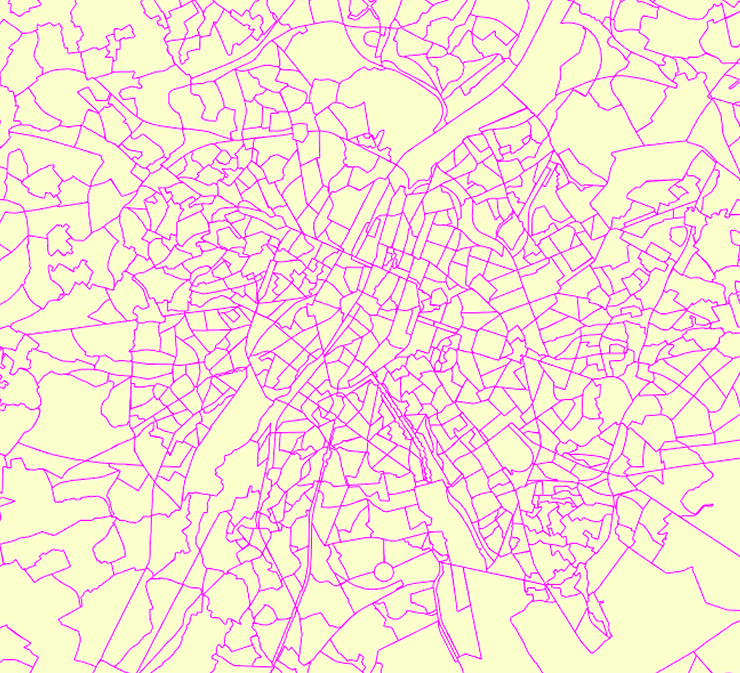
The data set has been established according to the INSPIRE format. It presents in the form of polygons the breakdown of Belgium in almost 20,000 statistical sectors. The statistical sector is the basic territorial unit resulting from the subdivision of the territory of municipalities by STATBEL since 1970 for the dissemination of its statistics at a finer level than the municipal level. A statistical sector cannot extend over two municipalities and any point in the municipal territory is part of one and the same statistical sector. The 1970 and 1981 versions are shown in analogue format while the 2001, 2011, 2018, 2019 etc. versions are available in digital vector format. The files can be linked to the data on population, housing and disposable income on the website of Statbel.
-
The UrbIS - Vector product (formerly UrbIS - ADM) is a global dataset covering the physical and biological surfaces of the Brussels-Capital Region. It includes data from six UrbIS products, namely “Parcels and buildings”, “Land use”, “Transport networks”, “Administrative units”, “3D buildings”, and “Points of interest”. The dataset is freely downloadable as zipped files and via the ad hoc WFS.
 Geobru catalogue