 Geobru catalogue
10000
Type of resources
Available actions
Topics
INSPIRE themes
Keywords
Contact for the resource
Provided by
Years
Formats
Representation types
Update frequencies
status
Scale
-

The dataset of the judicial cantons and arrondissements represents the geographical subdivisions used in the organization of the courts. The dataset was digitized based on the definitions in the ‘Judicial Code – Annex: Definition of jurisdiction and seat of courts and tribunals’, which is managed by the FPS Justice. The dataset consists of 3 feature types, including the boundaries of the judicial cantons [judicialcanton] and arrondissements [judicialarrondissement]. Each judicial canton has at least one peace court [peacecourt], which also constitutes an object type in the dataset. This dataset can be downloaded via the links in 'Access' at the bottom of this page.
-
This dataset corresponds to applications for environmental permits filed in the Brussels-Capital Region, as defined in Title II of the ordonnance of 5 June 1997 regarding environmental permits. It includes a single class covering environmental permits that have been granted, refused, as well as those still under review. The data are accessible via WFS or through full download.
-

The dataset of the electoral cantons represents the geographical unit used for the organization of the elections. The electoral cantons were digitised based on the definitions in the Annex of the Electoral Code, which is managed by the FPS Home Affairs. The dataset consists of a single feature type, namely the boundaries of the electoral cantons [electoralcanton]. This dataset can be downloaded via the links in 'Access' at the bottom of this page.
-
This dataset covers the inventory of the municipal trees of Jette. For each municipal tree, it includes information such as its location, scientific name, measurements (height, trunk circumference, crown diameter, etc.), and its leaf surface area.
-
Brussels-Capital Region : This flood hazard map identifies areas where flooding could occur due to stream overflow, runoff from rainwater, overflowing sewers or a temporary rise in the water table, even in places where no flooding has been observed until now. The absence of a flood hazard zone on the map does not guarantee that flooding will never occur as it does not take into account certain causes of flooding such as a local failure of the sewage network, etc. Please note that these maps have no regulatory value, they have been produced in accordance with the European Directive 2007/60/EC to determine the prevention and protection measures. The maximum scale is 1/10.000 as the modelled data are not representative on a larger scale.
-
This dataset corresponds to the flood hazard maps for the Brussels-Capital Region, in accordance with Directive 2007/60/EC of the European Parliament and of the Council of 23 October 2007 on the assessment and management of flood risks. It is made of16 geometric classes. These flood hazard maps show the areas that may be flooded by watercourses (fluvial flooding), as a result of rainwater runoff during heavy rainfall (pluvial flooding), or by sewer overflow at the surface onto public roads (the latter are not fully available for the region). And underground flooding resulting from a groundwater table close to the surface. These maps show the extent, water levels and flow velocities of the areas that will be flooded under various scenarios: a return period of 25, 100 and 100 years, and a climate change scenario (corresponding to a hundred-year rainfall event from 2100 onwards, based on a climate warming trajectory of up to +3.5 °C). Please note that these maps have no regulatory value.
-
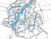
This dataset corresponds to the atlas of the hydrographic network of the Brussels-Capital Region, in accordance with the Decree of 23 May 2024 classifying non-navigable watercourses, designating regional ponds, determining the content, scope, procedures and deadlines for drawing up the Atlas of the hydrographic network of the Brussels-Capital Region and adopting this Atlas. It is made of ten geometric classes: classified watercourses, unclassified watercourses, bank crests, regional ponds, ditches, engineering structures, sluice walls, watercourse points of origin, cross profiles, embankments.
-
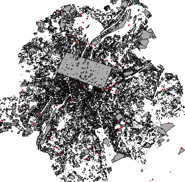
This dataset is made up of numerous types of objects corresponding to a range of different layouts or the location of various buildings or activities.
-

Administrative Units - INSPIRE corresponds to the dataset of the Belgian administrative units that complies with the INSPIRE specifications. This dataset is composed of two classes. The first class contains administrative units and the second class contains administrative boundaries. The class are composed of the following administrative level: Kingdom, Regions, Provinces, and arrondissements, and municipalities. The entire dataset can be downloaded via the ad hoc WFS.
-
This dataset corresponds to the priority greening zone. It is made of one geometric classe : the priority greening zoneas defined in the Regional Plan for Sustainable Development (RPSD).