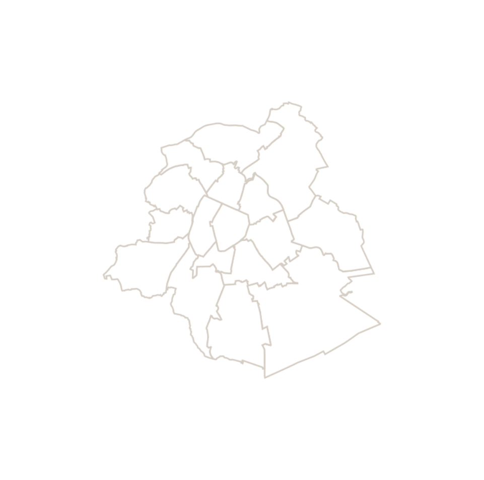
Statistical macrozones
This dataset corresponds to the macrozone dataset, i.e. the highest-level statistical partition of the Brussels-Capital Region (the Region is divided into 17 macrozones).
Simple
- Date (Creation)
- 2023-11-29
- Date (Revision)
- 2023-11-29
- Identifier
- IBSA-BISA / 8592b7de-97f9-11ee-a1ff-010101010000
- Status
- Completed
- Maintenance and update frequency
- Annually
- Access constraints
- Other restrictions
- Other constraints
- No limitations to public access
- Use constraints
- Other restrictions
- Spatial representation type
- Vector
- Denominator
- 1000
- Metadata language
- Nederlands; Vlaams
- Metadata language
- Français
- Character set
- UTF8
- Topic category
-
- Boundaries
- Description
- Brussels-Capital Region
N
S
E
W
))
- Reference system identifier
- ESPG:3812
- Unique resource identifier
- EPSG:31370
- Distribution format
-
-
Esri Shapefile
(
10.2
)
-
GeoPackage
()
-
Esri Shapefile
(
10.2
)
- OnLine resource
- https://datastore.brussels/web/urbis-download ( WWW:DOWNLOAD-1.0-http--download )
- OnLine resource
- https://urbisdownload.datastore.brussels/atomfeed/8591584f-97f9-11ee-a746-010101010000-en.xml ( ATOM )
- Hierarchy level
- Dataset
Conformance result
- Statement
- Statistical macrozones are constructed by agglomerating Monitoring districts, which are themselves constructed by aggregating statistical sectors.
- File identifier
- 8591584f-97f9-11ee-a746-010101010000 XML
- Metadata language
- English
- Character set
- UTF8
- Hierarchy level
- Dataset
- Date stamp
- 2023-12-14T10:51:34
- Metadata standard name
- Brussels INSPIRE metadata profil
Point of contact
Brussels institute for statistics and analysis
-
Thomas Ermans
https://ibsa.brussels/
https://ibsa.brussels/
Overviews

Spatial extent
N
S
E
W
))
Provided by

Associated resources
Not available
 Geobru catalogue