2013
Type of resources
Available actions
Topics
INSPIRE themes
Keywords
Contact for the resource
Provided by
Years
Formats
Representation types
Update frequencies
status
Service types
Scale
Resolution
-

The 2012 Triangulated irregular network (TIN) product is a mesh composed of irregular triangles. The dataset is freely downloadable as a zipped file.
-

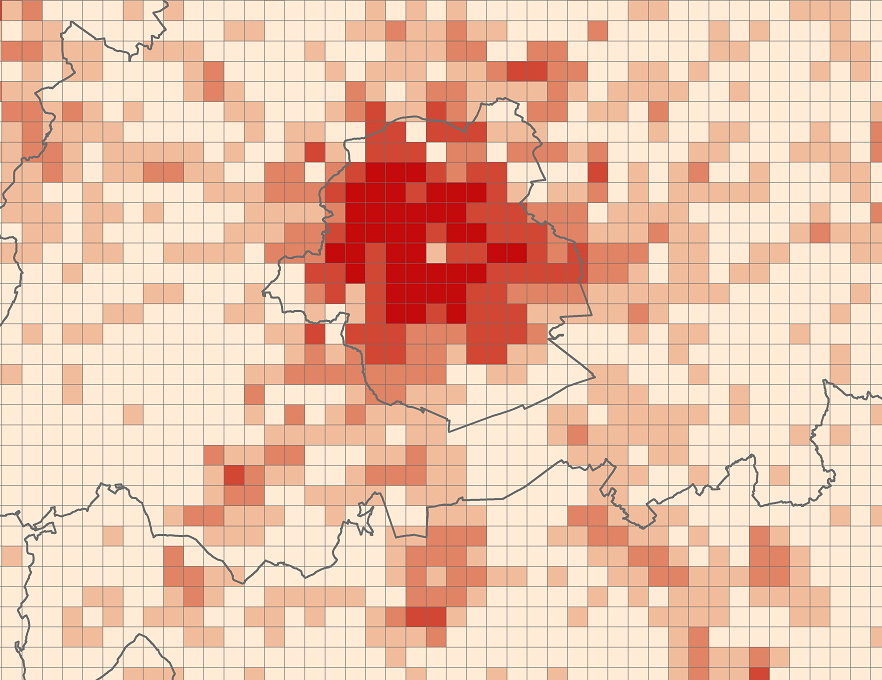
The files contain the population characteristics (total, gender and/or age groups) by 1 km² square grid cell in Belgium on January 1st, according to the European definition of the population. The European definition takes into account the 12-months criterion and includes asylum seekers. More information at https://ec.europa.eu/eurostat/cache/metadata/en/demo_pop_esms.htm#unit_measure1589188532500.
-

The "UrbIS - Contour lines" product represents the elevation of the Brussels region by means of contour lines with intervals of 0.5 metres. The dataset is freely downloadable as a zipped file.
-

The 2012 Digital terrain model product is a raster image composed of pixels whose value corresponds to altitude. The dataset is freely downloadable as a zipped file.
-
Brussels-Capital Region : OGC:WMS service Urban for patrimonial protected sites
-

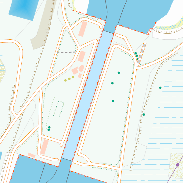
CartoWeb.be is a Web Service (WMTS/WMS) containing cartographic representations covering 11 scale levels. CartoWeb.be offers a cartographic representation which has been developed specifically for on-screen viewing of the NGI’s most recent vector data sets. Three versions are available for the Belgian territory: 1) a TOPO layer containing a cartographic representation at all scales; 2) a TOPO-GREY layer, which is the symbolisation in different shades of grey and blue of the TOPO layer. It constitutes an ideal map background; 3) an OVERLAY (1:2 500 - 1:25 000) layer destined to be used as an overlay on other data (orthophotographs for instance). This layer contains the symbolisation of a few layers only. Two other layers, CROSSBORDER and CROSSBORDER-GREY, are available in order to allow viewing (only on the smallest scales 1:100 000 – 1:4 000 000) the European context of Belgium. The extent of this representation is limited and could change in the following versions. It is best to combine the CROSSBORDER layer with the TOPO layer. It is best to combine the CROSSBORDER-GREY layer with the TOPO-GREY-layer.
-
Brussels-Capital Region : OGC:GML Download service Urban for patrimonial protected sites
-

Brussels-Capital Region : Brussels-Capital statistical areas are grouped to form the districts of monitoring. Monitoring the neighborhood is an urban observation tool to help track and understand the evolution of Brussels districts in different aspects (demographic, social, health, economy, housing, mobility, quality of life, participation, ... ) to improve the efficiency of urban policy and help guide public and private investment in urban renewal ...
-

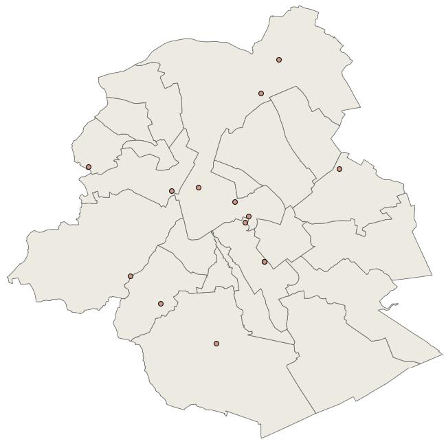
Brussels Capital Region: location of the different stations measuring the air quality. Stations of the telemetric, non-telemetric (sampling with laboratory analysis) and weather networks are included. The measured parameters are specified for each station. Note : In French : https://document.environnement.brussels/opac_css/elecfile/QAir_Rpt0911_corr_ssAnnexesB_C_D_E_fr.PDF In Dutch : https://document.environnement.brussels/opac_css/elecfile/QAir_Rpt0911_ssAnn_B_C_D_E_bis_nl.PDF
-

Brussels-Capital Region : building means any physical construction formed of rigid exterior walls, roofed, permanently attached to land, and designed to accommodate human activity and / or shelter for animals, goods and machinery.
 Geobru catalogue