 Geobru catalogue
2024
Type of resources
Available actions
Topics
INSPIRE themes
Keywords
Contact for the resource
Provided by
Years
Formats
Representation types
Update frequencies
status
Service types
Scale
Resolution
-
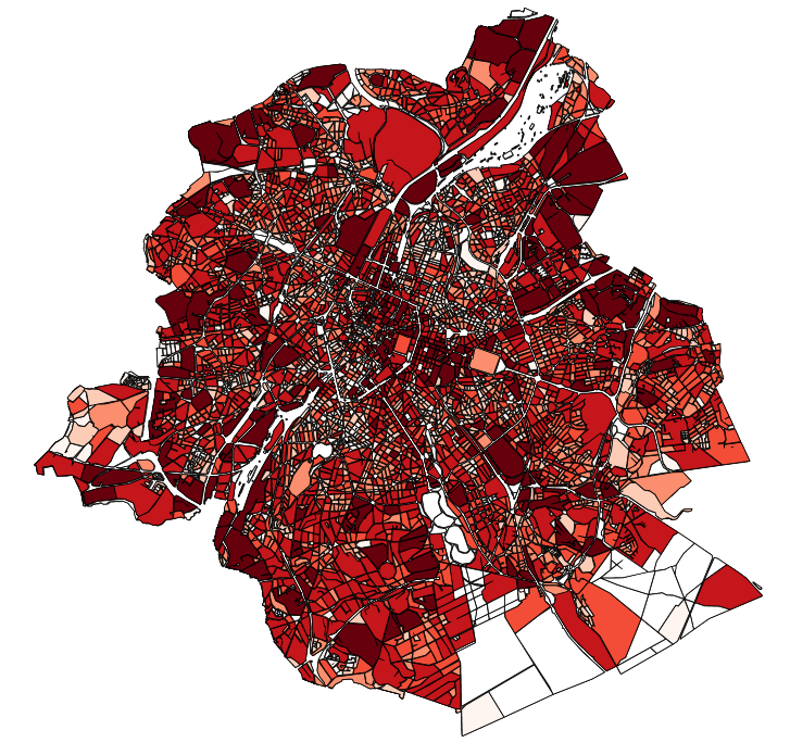
This dataset contains the off-street parking supply in the Brussels-Capital Region. The data is aggregated per cadastral block and classified into 11 categories, where possible. The categories include: residential, office, commercial, industrial, educational, cultural/religious/sporting, hospital/care, public parking, park & ride, public buildings, and others.
-
This report concerns the quality of water intended for human consumption, distributed during the 2017–2018–2019 period in the Brussels-Capital Region, with the aim of informing consumers of distributed water. The legal framework is defined by the Decree on the quality of water distributed through the network. This decree sets the quality standards the water must meet and outlines the obligations of the water supplier. As required by the decree, the report covers, at a minimum, all individual water supplies of more than 1,000 m³ per day on average or serving more than 5,000 people. In the Brussels-Capital Region, only one water supplier meets these conditions: VIVAQUA. Therefore, the report is limited to the water distributed by them. Water intended for human consumption is referred to as publicly distributed network water, tap water, or drinking water.
-
This download service allows, by means of a formatted URL, to downloadd all the vector data that are used in Brusky.
-
This view service allows, by means of a formatted URL, to display all the vector data that are used in Brusky.
-
For each Brussels municipality, this dataset includes the number of members of municipal councils, inhabitants, voters, votes, valid votes and seats according to lists. The data cover the results of the Brussels municipal elections from 2006 until the most recent elections. The members of the municipal council are elected every six years by all the voters in the municipality, for a period of six years.
-
The UrbIS - Landscape product (formerly UrbIS - ADM 3D V2 Beta) is a dataset that combines the data from the “3D Constructions” product with the “Digital terrain model” to display a three-dimensional model of the ground and buildings in the Brussels-Capital region. The dataset is freely downloadable as zipped files.
-
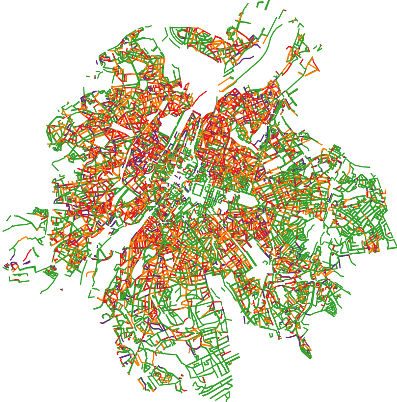
This dataset corresponds to the total occupancy rate of parking demand in 2023 by the different modes of transport (cars and vans, motorised two-wheelers, lorries, other) on all the roads in the Brussels-Capital Region. This total occupancy rate is calculated on the basis of 4 time slots: - Tuesday or Thursday from 5.00 am to 7.00 am - Tuesday or Thursday from 10.00 am to 12.00 am - Tuesday or Thursday from 8.00 pm to 10.00 pm - Saturday between 10.00 am and 6.00 pm For each time slot, details of parking demand categorised by mode of transport are available.
-
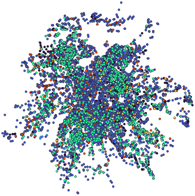
This dataset corresponds to the supply of and demand on alternative mode parking devices in the Brussels-Capital Region, categorised according to the type of parking facility and the type of vehicle parked.
-
This dataset contains information on the water quality requirements for surface waters (rivers, lakes, coastal waters and transitional waters) of the Brussels region in order to protect the aquatic ecosystem and, by extension, human health.
-
The objective of this report is to conduct a study and evaluation of the state of discrimination in the Brussels labor market through the principle of situation testing.