 Geobru catalogue
planningCadastre
Type of resources
Available actions
Topics
INSPIRE themes
Keywords
Contact for the resource
Provided by
Years
Formats
Representation types
Update frequencies
status
Scale
-
This dataset corresponds to applications for environmental permits filed in the Brussels-Capital Region, as defined in Title II of the ordonnance of 5 June 1997 regarding environmental permits. It includes a single class covering environmental permits that have been granted, refused, as well as those still under review. The data are accessible via WFS or through full download.
-
The Manual aims to clarify the priorities for development based on the types of public spaces and to provide a reference framework for authorities involved in public space planning, in line with regional objectives. It seeks to ensure a high level of comfort for users, address the climate challenge, and enhance inclusivity and spatial quality.
-
This dataset corresponds to the three aircraft noise restriction zones defined by the order of the Government of the Brussels-Capital Region of 27 May 1999 on the fight against the noise generated by air traffic. It's made of one geometric clas.
-
This dataset corresponds to the Special Land-Use Plans (les Plans Particulier d'Affectation du Sol or PPAS in French and de Bijzondere Bestemmingsplannen or BBP in Dutch). The dataset consists of a single layer showing the general perimeter of the PPAS, without identifying each specific land-use zone or its nature. It can be consulted via an ad hoc WMS and WFS. This dataset has no regulatory value and is published solely for informational purposes. Only the maps and subsequent amendments published in the Belgian Official Gazette have regulatory force.
-
These map layers provide part of the information used for managing urban planning permits within the framework of spatial planning in the Brussels-Capital Region. The perimeters involved are as follows: subdivision permits and urban planning permits issued or still under consideration, municipal regulations and zoned municipal regulations, various zoning areas concerning advertising and signs as well as accessibility related to public transportation from the RRU 2006, land allocated for industry and priority development hubs.
-

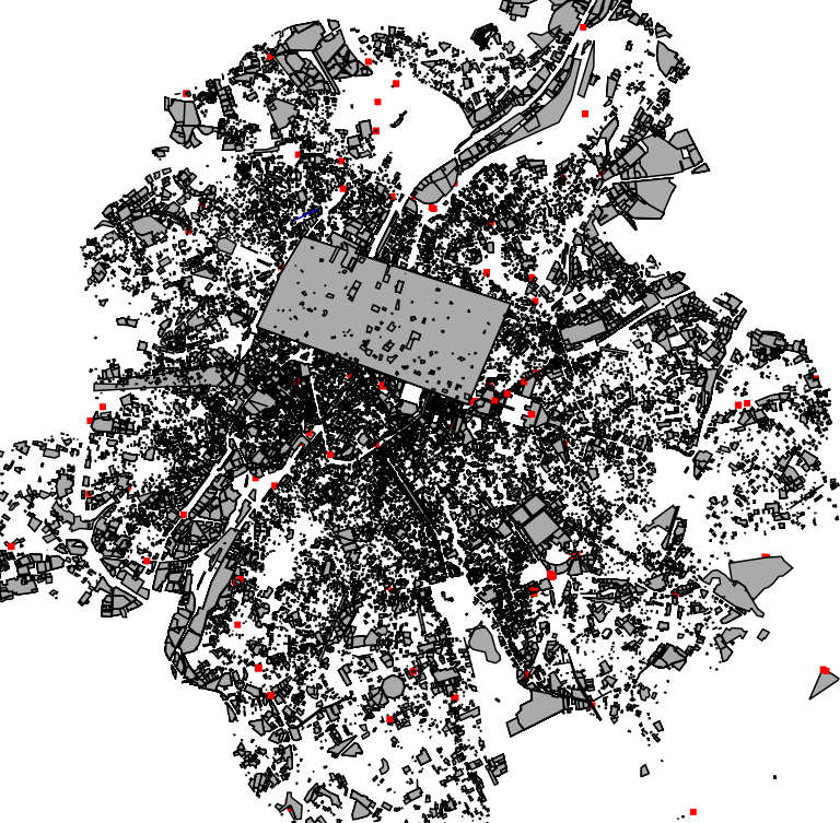
Cadastral parcels - monthly situation corresponds to the dataset of the monthly situation of the cadastral parcels layer from the Land Register plan. The dataset is composed of two classes. The first class contains the geometries of the cadastral parcels; the second is a class without geometry and corresponds to a code table of the different fiscal situations used in the first class. The dataset can be freely downloaded as a zipped shapefiles.
-
These map layers include the perimeters of programs and urban renewal operations financed by the Brussels-Capital Region (sustainable neighborhood contracts, urban renewal contracts) as well as the current preemption perimeters.
-
This dataset represents the land use zoning elements set out in the map of the Regional Land Use Plan (le Plan Régional d’Affectation du Sol or PRAS in French and het Gewestelijk Bestemmingsplan or GBP in Dutch). It consists of a single geometry layer showing the zoning elements (without the overlays of the zone of regional interest with deferred development and of the zones of cultural, historical, aesthetic or embellishment interest). All PRAS layers are freely available via an ad hoc WMS and WFS. This dataset has no regulatory value and is published for information purposes only. Only the maps and subsequent amendments published in the Belgian Official Gazette have regulatory force.
-

Land register plan - current situation corresponds to the dataset of land register from the reference database for the land register data CadGIS. The land register plan is one of the elements that make up the patrimonial documentation. It is defined as “the graphic representation and assembling on a plan of all the cadastral plan parcels of the Belgian territory”. A plan parcel, such as defined in Article 2 of the Royal Decree of 30 July 2018, is a part of Belgian territory, geographically delimited and identified by the General Administration of Patrimonial Documentation on the land register plan, which corresponds to the ground surface area of one or more patrimonial cadastral parcel(s) (real estate property as mentioned in Article 472 of the 1992 Income Tax Code in respect of which the cadastral income is fixed). This dataset corresponds to the current situation at the time of consultation. It is composed of fourteen geometric layers. The first five are the administrative units, namely the country, the regions, the provinces, the districts and the municipalities. The sixth and seventh layers correspond to the cadastral units, divisions and sections. the eighth layer includes the cadastral blocks, the ninth, the property stones, the tenth, the addresses, the eleventh, the polders and wateringues, the twelfth, the cadastral plan parcels, the thirteenth the buildings managed by the AGDP, and the fourteenth, buildings managed by the regions. The dataset is freely downloadable via the ad hoc WFS.
-
This dataset includes the urban planning infractions observed on the territory of the city of Brussels as specified in article 300 of the Code bruxellois de l'aménagement du territoire / Brusselse wetboek van Ruimetelijke ordening.