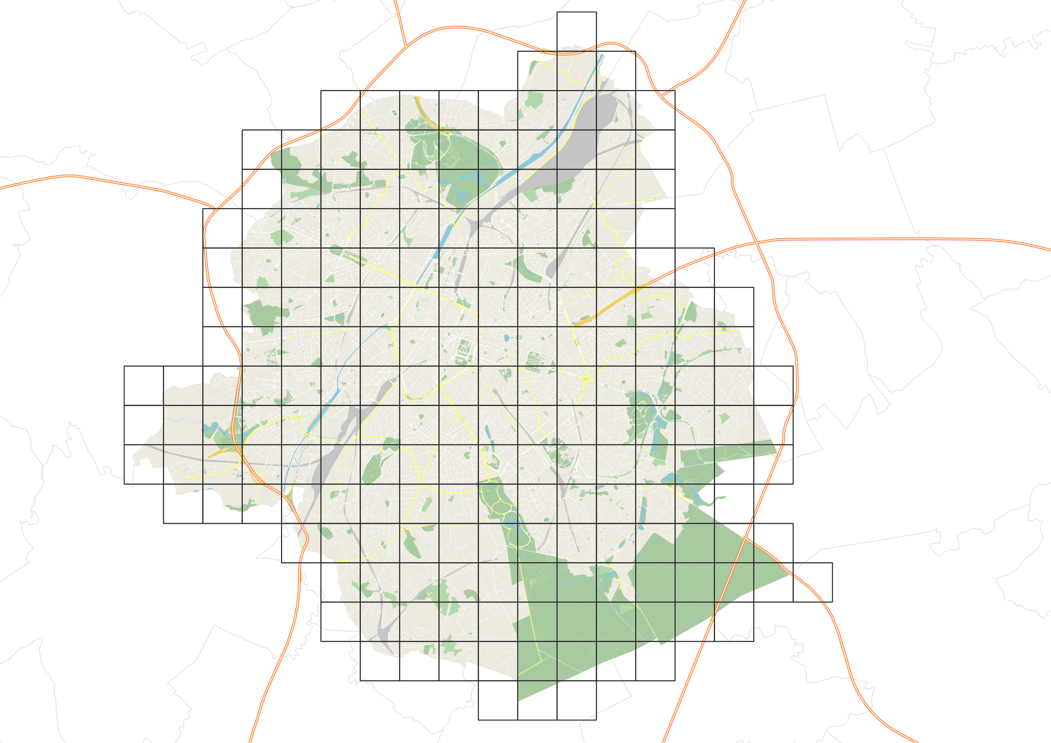
UrbIS - Mesh
This dataset corresponds to the mesh delimiting the boxes (also called grids) used in UrbIS. The mesh covers the entire territory of the Brussels-Capital Region, and the boxes are one kilometer on each side.
Simple
- Date (Creation)
- 2024-03-08
- Date (Revision)
- 2024-03-08
- Identifier
- CIRB-CIBG / f316bd73-dd62-11ee-91e8-00090ffe0001
- Status
- Completed
- Maintenance and update frequency
- Not planned
- Access constraints
- Other restrictions
- Other constraints
- No limitations to public access
- Use constraints
- Other restrictions
- Spatial representation type
- Vector
- Denominator
- 1000
- Metadata language
- English
- Metadata language
- Nederlands; Vlaams
- Metadata language
- Français
- Character set
- UTF8
- Topic category
-
- Location
- Description
- Brussels-Capital Region
N
S
E
W
))
- Unique resource identifier
- EPSG:31370
- Codespace
- EPSG
- Distribution format
-
-
Esri Shapefile
(
10.2
)
-
GeoPackage
()
-
Esri Shapefile
(
10.2
)
- OnLine resource
- https://geoservices-urbis.irisnet.be/geoserver/urbisvector/ows?request=GetCapabilities&service=WMS&version=1.3.0 ( OGC:WMS )
- OnLine resource
- Mesh in the Belgian Lambert 1972 system - Shapefile ( WWW:DOWNLOAD-1.0-http--download )
- OnLine resource
- Mesh in the Belgian Lambert 1972 system - GeoPackage ( WWW:DOWNLOAD-1.0-http--download )
- OnLine resource
- https://geoservices-urbis.irisnet.be/geoserver/urbisvector/ows?request=GetCapabilities&service=WFS&version=2.0.0 ( OGC:WFS )
- Statement
- The UrbIS mesh is based on the Belgian Lambert 72 projection system (EPSG 31370), and the coordinates of the bottom left corner of each box serve as identifiers.
- File identifier
- f315e43c-dd62-11ee-b430-00090ffe0001 XML
- Metadata language
- English
- Character set
- UTF8
- Hierarchy level
- Dataset
- Date stamp
- 2024-11-14T14:42:29
- Metadata standard name
- Brussels INSPIRE metadata profil
Overviews

Spatial extent
N
S
E
W
))
Provided by

Associated resources
Not available
 Geobru catalogue