 Geobru catalogue
transportation
Type of resources
Available actions
Topics
INSPIRE themes
Keywords
Contact for the resource
Provided by
Years
Formats
Representation types
Update frequencies
status
Scale
-
This dataset contains the off-street parking supply in the Brussels-Capital Region. The data is aggregated per cadastral block and classified into 11 categories, where possible. The categories include: residential, office, commercial, industrial, educational, cultural/religious/sporting, hospital/care, public parking, park & ride, public buildings, and others.
-

Brussels-Capital Region : Routes and stops of the STIB Network (Tramway-Metro)
-

The dataset provides information on the tariff regulations that apply to street parking in the municipalities of the Brussels-Capital Region. It includes details on the spatial coverage and the time-specific application, as well as information on parking durations and fees.
-

Plan de Déplacement d'Entreprise - Bilan 2024-2025
-
Ce dataset contient tous l’inventaire des accidents impliquant au moins 1 piéton blessé sur ou à proximité directe d'une traversée piétonne (moins de 10m) entre janvier 2019 et septembre 2023 inclus. La géolocalisation a été fait sur base de la description de la localisation dans le pv. La précision géométrique n’est donc pas élevée. Les données reprennent la date de l’accident et des informations sur la gravité de l’accident (tué, blessé grave ou léger).
-
Bicycle infrastructure refers to cycle paths, marked cycle lanes, cycle gutters, and bus/bicycle lanes. The dataset covers the entire territory of the Brussels-Capital Region and represents, as accurately as possible, the centerline of the cycle paths. The region’s bicycle infrastructure is continuously monitored and updated. The date fields indicate the periods during which the cycle paths were in use. Historical bicycle infrastructure can also be retrieved via the API.
-
UrbIS - Transport networks corresponds to the dataset of road networks and tram and train networks in the Brussels Region. This dataset is composed of three geometric classes. The first class corresponds to the street axes (some objects located in Flanders have been integrated for visual continuity). The second corresponds to street intersections, and the third corresponds to the rail network. The dataset is freely downloadable, in the form of zipped shapefiles. The dataset is notably produced by integrating the attribute informations provided by Brussels Mobility.
-
This dataset corresponds to the supply of and demand on alternative mode parking devices in the Brussels-Capital Region, categorised according to the type of parking facility and the type of vehicle parked.
-
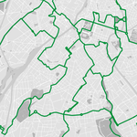
Le réseau des points-nœuds est un réseau de points numérotés qui permettent aux cyclistes de constituer facilement un itinéraire touristique. Le réseau consiste d’itinéraires entre points-nœuds différents permettant de créer des itinéraires plus longs. Les itinéraires sont balisés et empruntent des rues pittoresques et sures. Cette base de données contient les différents itinéraires entre points-nœuds.
-
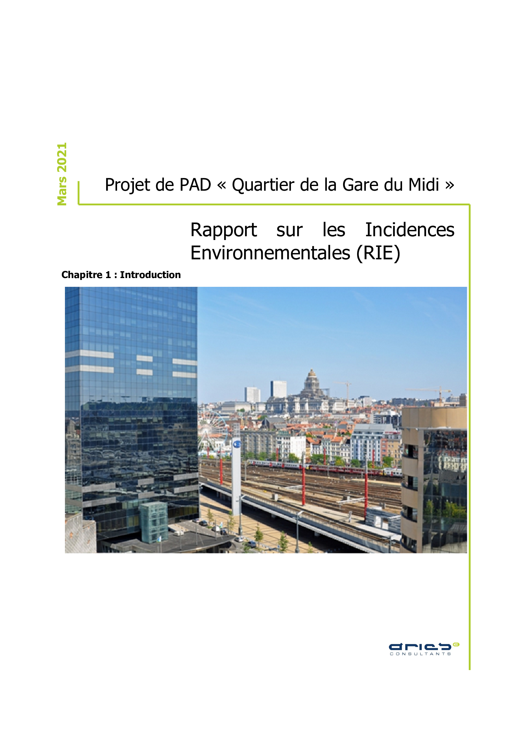
Master Development Plan (MDP) project of the "Gare du Midi area", Environmental Impact Report (EIR)