 Geobru catalogue
2001
Type of resources
Available actions
Topics
INSPIRE themes
Keywords
Contact for the resource
Provided by
Years
Formats
Representation types
Update frequencies
status
Scale
-

The data set has been established according to the INSPIRE format. It presents in the form of polygons the breakdown of Belgium in almost 20,000 statistical sectors. The statistical sector is the basic territorial unit resulting from the subdivision of the territory of municipalities by STATBEL since 1970 for the dissemination of its statistics at a finer level than the municipal level. A statistical sector cannot extend over two municipalities and any point in the municipal territory is part of one and the same statistical sector. The 1970 and 1981 versions are shown in analogue format while the 2001, 2011, 2018, 2019 etc. versions are available in digital vector format. The files can be linked to the data on population, housing and disposable income on the website of Statbel.
-
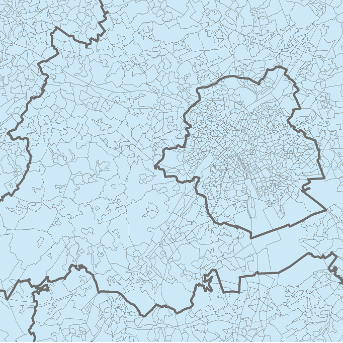
The data set presents in the form of polygons the breakdown of Belgium in almost 20,000 statistical sectors. The statistical sector is the basic territorial unit resulting from the subdivision of the territory of municipalities by STATBEL since 1970 for the dissemination of its statistics at a finer level than the municipal level. A statistical sector cannot extend over two municipalities and any point in the municipal territory is part of one and the same statistical sector. The 1970 and 1981 versions are shown in analogue format while the 2001, 2011, 2018, 2019 etc. versions are available in digital vector format. The files can be linked to the data on population, housing and disposable income on the website of Statbel.
-
This dataset represents the land use zoning elements set out in the map of the Regional Land Use Plan (le Plan Régional d’Affectation du Sol or PRAS in French and het Gewestelijk Bestemmingsplan or GBP in Dutch). It consists of a single geometry layer showing the zoning elements (without the overlays of the zone of regional interest with deferred development and of the zones of cultural, historical, aesthetic or embellishment interest). All PRAS layers are freely available via an ad hoc WMS and WFS. This dataset has no regulatory value and is published for information purposes only. Only the maps and subsequent amendments published in the Belgian Official Gazette have regulatory force.
-
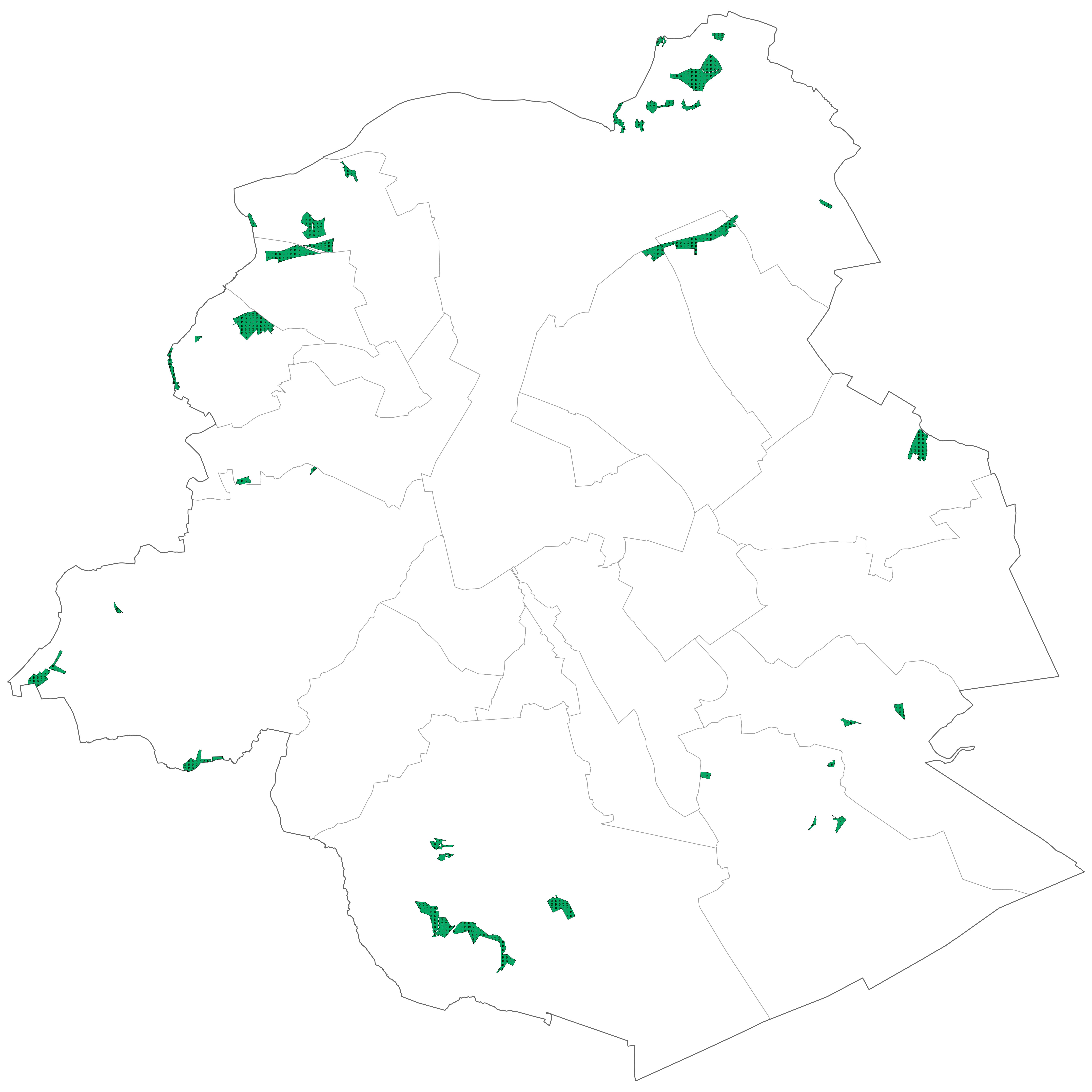
Brussels-Capital Region : Areas intended for the conservation and the regeneration of a natural environment that is of high biological value as it shelters rare animal and vegetable species or boasts considerable biological diversity