 Geobru catalogue
environment
Type of resources
Available actions
Topics
INSPIRE themes
Keywords
Contact for the resource
Provided by
Years
Formats
Representation types
Update frequencies
status
Scale
Resolution
-

Commissioned by Brussels Environment, BovaEnviro+ went in search of innovative inspection technologies and techniques to assist environmental monitoring officers, or inspectors, in carrying out their inspections. The report includes: an inventory of the information and concerns of the inspectors regarding the project; an overview of the technologies and techniques used in Belgium - outside Brussels - and in other European countries (France, the Netherlands and Germany); an assessment of the advantages/disadvantages (limitations) of the selected technologies and techniques; and an overview of the costs of the technologies and techniques and an inventory of potential suppliers. The study was split into three issues: - issue 1: air quality, climate and emissions of air pollutants ; - issue 2: noise and vibration ; - issue 3: surface waters.
-
Self-renovation could be a way of achieving the climate objectives of the Brussels-Capital Region's Renovation Plan more quickly, i.e. attaining an average C+ energy performance for residential buildings by 2050. It would also enable a response to the rise in energy prices, allowing those in need to be included in the renovation of Brussels' heritage. The aim of this study is to verify whether these assumptions can be applied in the Brussels-Capital Region.
-
This study first characterises the current heat and cooling needs in the Brussels-Capital Region as well as the evolution of these needs until 2050. A mapping of these needs is then presented, as well as a visualisation of the main existing heat sources in the Brussels-Capital Region. The technical and economic potential of cogeneration is then calculated. Finally, the study compares the different solutions for meeting heat needs, including the distribution of heat in thermal energy networks.
-
This dataset corresponds to the vegetation cover in the Brussels Capital Region. It is made of two raster images : vegetation 2021, and vegetation 2023.
-
The register contains information on releases of pollutants to air, water and land, as well as off-site transfers of pollutants in wastewater and waste in the Brussels region. It covers 91 pollutants, including greenhouse gases, other gases, heavy metals, pesticides, chlorinated organic substances, other organic substances and inorganic substances. It complies with the Regulation 166/2006 of the European Parliament and of the Council of 18 January 2006 concerning the establishment of a European Pollutant Release and Transfer Register
-

Brussels-Capital Region : This map shows the Health Impact Screening score for air quality (0-8) in the Brussels Capital Region. It was produced as part of the 2020 study on the "Impact of 'Nature-Based Solutions' (NBS) on urban residents' exposure to air pollution, noise pollution or high temperatures - Overview of general knowledge and recommendations for the Brussels-Capital Region". This map is based on the 2018 annual average nitrogen dioxide concentration map. For the methodology used, see p.49. The study report (in dutch) is available at http://document.environnement.brussels/opac_css/elecfile/NatureBasedSolutions
-
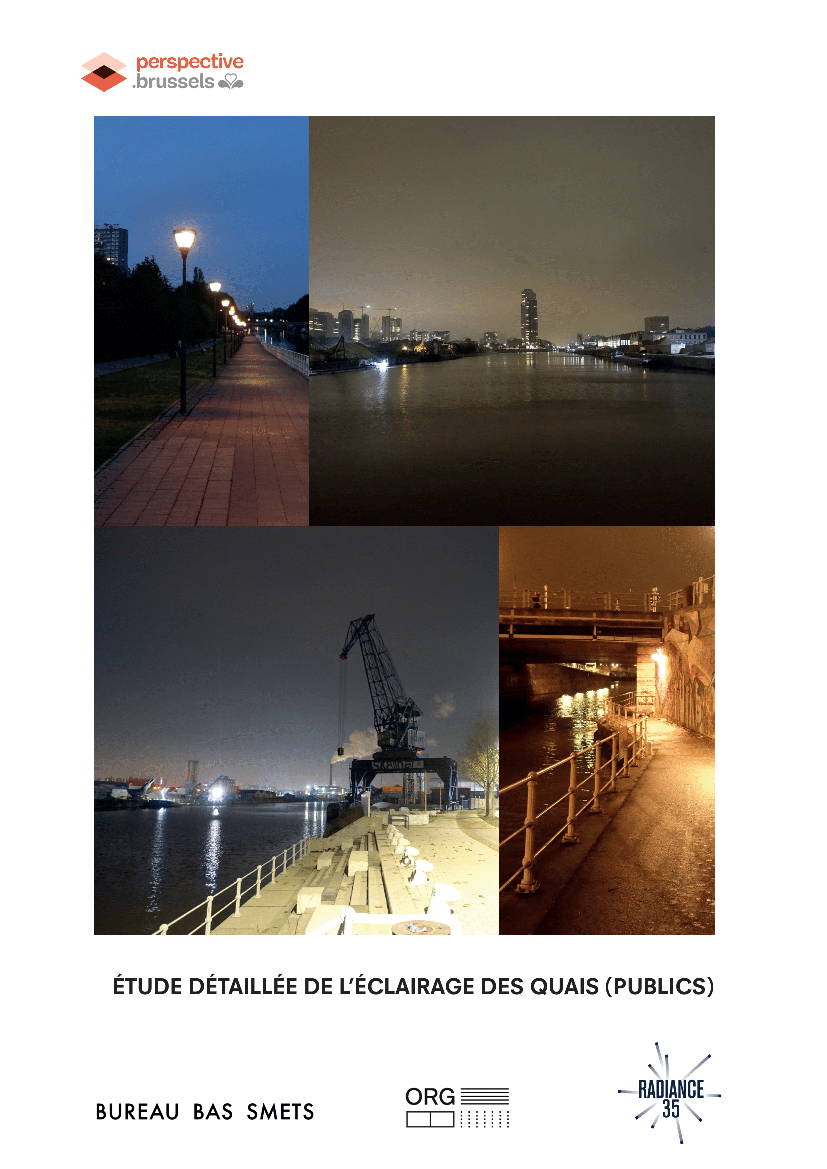
Detailed study of the lighting of (public) quays in the canal area, landscape and urban quality plan
-
-
This dataset corresponds to the nitrate-vulnerable zone in accordance with the prescriptions of the European Directive 91/676/EEC, by the Ministerial Order of 25 May 1999. It is made of one geometric classe : the nitrate-vulnerable zone.
-
This dataset brings together air quality measurements from the Brussels telemetry network. It includes data on concentrations of the main atmospheric pollutants recorded at stations in the Brussels-Capital Region telemetric network, enabling compliance with air quality standards to be assessed and changes in pollutant concentrations to be monitored.