 Geobru catalogue
GeoJSON
Type of resources
Available actions
Topics
INSPIRE themes
Keywords
Contact for the resource
Provided by
Years
Formats
Representation types
Update frequencies
status
Scale
-
School contract is a regional program for urban renewal. It aims to upgrade school neighbourhoods in Brussels and strengthen the relationship between schools and their surroundings.
-
This dataset includes the urban planning infractions observed on the territory of the city of Brussels as specified in article 300 of the Code bruxellois de l'aménagement du territoire / Brusselse wetboek van Ruimetelijke ordening.
-
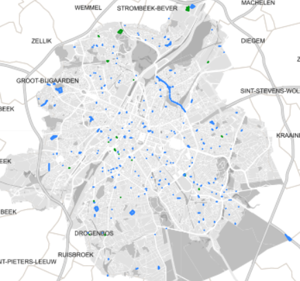
These various map layers are essential for the effective management of cultural heritage (real estate) in the Brussels-Capital region. They enable authorities and stakeholders to monitor, protect, and promote this valuable cultural legacy. Protected Properties: This map layer displays the locations of cultural properties that are officially protected by the relevant authorities. Protection Zones: This map layer shows the designated protection zones around the protected properties.
-
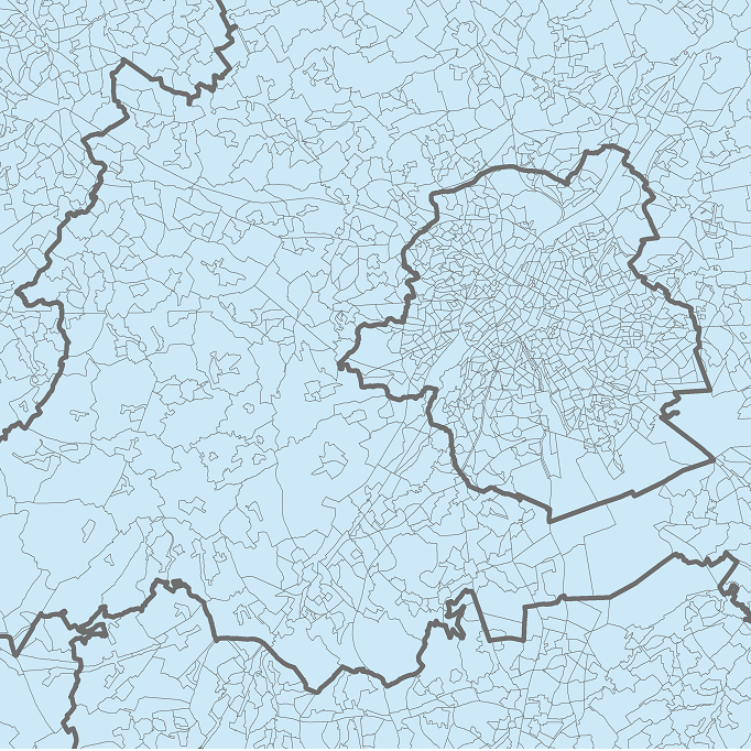
The data set presents in the form of polygons the breakdown of Belgium in almost 20,000 statistical sectors. The statistical sector is the basic territorial unit resulting from the subdivision of the territory of municipalities by STATBEL since 1970 for the dissemination of its statistics at a finer level than the municipal level. A statistical sector cannot extend over two municipalities and any point in the municipal territory is part of one and the same statistical sector. The 1970 and 1981 versions are shown in analogue format while the 2001, 2011, 2018, 2019 etc. versions are available in digital vector format. The files can be linked to the data on population, housing and disposable income on the website of Statbel.
-
This layer shows the locations of monuments, ensembles, trees, and sites listed in legal inventories.
-
These map layers include the perimeters of programs and urban renewal operations financed by the Brussels-Capital Region (sustainable neighborhood contracts, urban renewal contracts) as well as the current preemption perimeters.
-
This dataset corresponds to applications for urban planning permits filed in the Brussels-Capital Region, as defined in Article 98 of the Brussels Town Planning Code. It includes both municipal and regional permit applications. The data is updated four times a day via the WFS and once a week, on Monday morning, via full download.
-

Cette couche représente les voiries gérées par la Région : Selon l’Arrêté royal du 6 décembre 1991 dressant la liste des routes et de leurs dépendances, transférées à la Région de Bruxelles-Capitale et ses amendements suivant les alignements légaux, Dont la Région possède la charge de gestion selon l’accord de coopération ente la Région flamande, la Région wallonne et la Région de Bruxelles-Capitale concernant les routes dépassants les limites d’une Région du 17 juin 1997. Selon les achats et accords intervenus depuis 1991 Cette couche représente également les voiries communales soumise à l'article 33. Il s’agit d’une représentation graphique de la liste des voiries communales affectées par l’ordonnance 33 selon l’arrêté gouvernemental du 16/07/1998 (M.B du 28/08/1998). Ces voiries sont communales, mais un accord de la région est nécessaire en cas de modification. La mise à jour de cette carte est gérée par la Direction de Gestion et Inspection (DGI) de Bruxelles Mobilité.
-
Ce jeu de donnée géolocalise les arrêts Collecto. Collecto est un service de taxis collectifs disponible 7j/7 entre 23 heures et 6 heures du matin sur tout le territoire de la Région de Bruxelles-Capitale. Le service Collecto permet d’embarquer à un des 200 points d’embarquement situés à des arrêts de la STIB, et de débarquer à l’adresse de son choix, dans les limites de la Région bruxelloise. Les données comprennent tous les lieux où l’embarquement est possible ainsi que le numéro permettant de réserver le service. Plus d'info: https://www.collecto.be.
-
Les dropzones sont des périmètres où il est permis de stationner les véhicules des services de cyclopartage en flotte libre ; à savoir les vélos, trottinettes et scooters partagés en flotte libre. Les dropzones sont marquées et matérialisées dans l’espace public afin d’informer et sensibiliser les usagers sur l’obligation d’y stationner leur véhicule partagé. Les données sont gérées par la Région pour les dropzones situées sur les voiries régionales et par les 19 communes pour les dropzones situées sur les voiries communales. Les données sont accessibles et utilisées par les opérateurs de cyclopartage en flotte libre par le biais d’une plateforme collaborative ; une mise à jour des données est réalisée quotidiennement sur la plateforme afin d’assurer une meilleure synchronisation avec les plateformes et les interfaces des opérateurs.