 Geobru catalogue
Buildings
Type of resources
Available actions
Topics
INSPIRE themes
Keywords
Contact for the resource
Provided by
Years
Formats
Representation types
Update frequencies
status
Service types
Scale
-
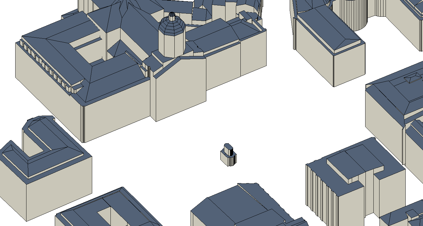
The UrbIS - Constructions 3D product corresponds to the dataset of three-dimensionally modeled buildings located in the Brussels Region. It includes both buildings and engineering structures. It comprises four classes: (1) the first corresponds to three-dimensional buildings; (2) the second to buildings' faces; (3) the third to three-dimensional engineering structures; and finally, (4) the fourth to engineering structures' faces. The dataset is freely downloadable as a zipped file. The first and third classes of this dataset are not supported by the GeoPackage format.
-
The UrbIS - Landscape product (formerly UrbIS - ADM 3D V2 Beta) is a dataset that combines the data from the “3D Constructions” product with the “Digital terrain model” to display a three-dimensional model of the ground and buildings in the Brussels-Capital region. The dataset is freely downloadable as zipped files.
-
This view service allows, by means of a formatted URL, to display the dataset related to the built density of urban blocks within the territory of the Brussels-Capital Region.
-
This download service allows, by means of a formatted URL, to download any object of dataset features related to the built density of urban blocks within the territory of the Brussels-Capital Region.
-

This view service allows, by means of a formatted URL, to display the UrbIS Topo reference vector dataset.
-
This download service allows, by means of a formatted URL, to download any object of the UrbIS Topo reference vector dataset.
-
This tiled view service gives access to tiled georeferenced maps of UrbIS from data updated annually.
-
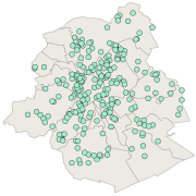
This dataset corresponds to exemplary buildings. It is made of one geometric classe : the buildings winning the "Exemplary Buildings" calls for proposals organised with the aim of encouraging initiatives in ecoconstruction and integrated renovation.
-
This dataset includes Renolution grants delivered to applicants. These are intended to support renovation and energy-saving work on buildings in the Brussels-Capital Region.
-
The UrbIS - Mapping M7 to M8 product corresponds to the mapping between identifiers of some M7 objects and their equivalents in M8 when the identifiers are not identical. The mapping is performed as follows: ADPT in M7 corresponds to Addresses in the M8 Parcels and Buildings product; 3D BU in M7 corresponds to Three-dimensional buildings in the M8 3D Constructions product; and 2D BU in M7 corresponds to Buildings in the M8 Parcels and Buildings product. The dataset is freely downloadable as three csv files.