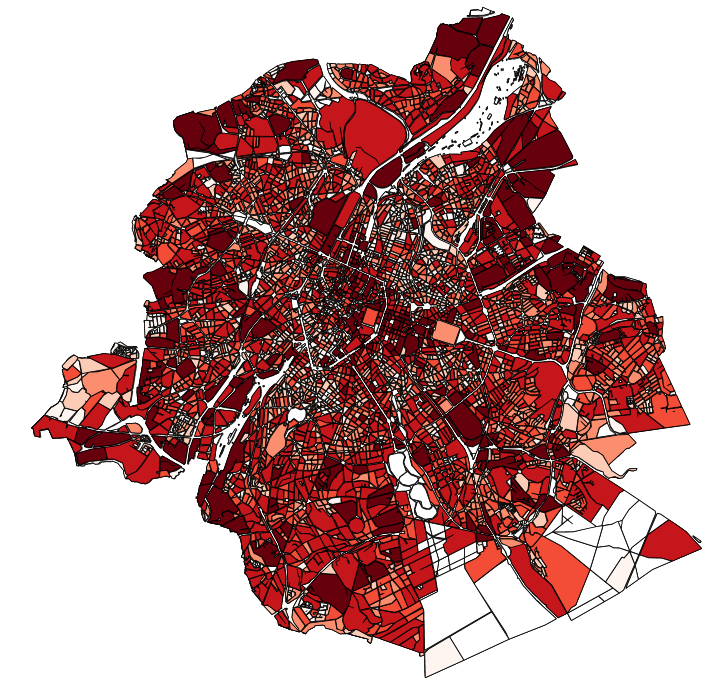
 Geobru catalogue
5000
Type of resources
Available actions
Topics
INSPIRE themes
Keywords
Contact for the resource
Provided by
Years
Formats
Representation types
Update frequencies
status
Scale
-
This dataset contains the off-street parking supply in the Brussels-Capital Region. The data is aggregated per cadastral block and classified into 11 categories, where possible. The categories include: residential, office, commercial, industrial, educational, cultural/religious/sporting, hospital/care, public parking, park & ride, public buildings, and others.
-

This dataset corresponds to the landscapes influences, as part of Brussels Environment's City-Nature initiative. It is made of one geometric classe : landscape influences.
-
These map layers provide a detailed representation of archaeological sites from prehistory to the 18th century and enable efficient management of regional preventive archaeology. Archaeological Atlas : These map layers list archaeological sites and discoveries as well as an expansion zone of human settlements around the main remains. Archaeological and Historical Inventory : These map layers present the thematic inventory of a series of sites confirmed by archaeology and historical sources (monasteries, monastic refuges, breweries, cellars…).
-

The dataset provides information on the tariff regulations that apply to street parking in the municipalities of the Brussels-Capital Region. It includes details on the spatial coverage and the time-specific application, as well as information on parking durations and fees.
-
This dataset corresponds to the sites managed by Brussels Environment. It is made of one geometric classe : sites managed by Brussels Environment.
-
The indicative inventory of natural heritage: these various cartographic layers are essential for a comprehensive understanding of natural heritage, allowing authorities and stakeholders to monitor, protect, and promote trees and sites with heritage value (gardens, squares, parks, woods) in the region. The inventory of architectural heritage. The archaeological and historical inventory of the Brussels Region: this group of cartographic layers presents a detailed thematic inventory of archaeological and historical sites in the center of Brussels (Pentagon).
-
This dataset corresponds to the supply of and demand on alternative mode parking devices in the Brussels-Capital Region, categorised according to the type of parking facility and the type of vehicle parked.
-

This dataset corresponds the biological evaluation. It is made of four geometric classes : biotopes, roads of biological interest, the typology of regional green spaces with an indication of their biological value, and urban blocs categorised according to the presence of biotopes of high biological value, the level of vegetation and the openness of the built-up frontages to facilitate wildlife mobility,
-
The Manual aims to clarify the priorities for development based on the types of public spaces and to provide a reference framework for authorities involved in public space planning, in line with regional objectives. It seeks to ensure a high level of comfort for users, address the climate challenge, and enhance inclusivity and spatial quality.
-
These various map layers are essential for the effective management of cultural heritage (real estate) in the Brussels-Capital region. They enable authorities and stakeholders to monitor, protect, and promote this valuable cultural legacy. Protected Properties: This map layer displays the locations of cultural properties that are officially protected by the relevant authorities. Protection Zones: This map layer shows the designated protection zones around the protected properties.