 Geobru catalogue
continual
Type of resources
Available actions
Topics
INSPIRE themes
Keywords
Contact for the resource
Provided by
Years
Formats
Representation types
Update frequencies
status
Service types
Scale
-
Brussels-Capital Region : OGC:WMS service Urban for patrimonial protected sites
-
This dataset includes the urban planning infractions observed on the territory of the city of Brussels as specified in article 300 of the Code bruxellois de l'aménagement du territoire / Brusselse wetboek van Ruimetelijke ordening.
-
Brussels-Capital Region : Entity Address Point (ADPT) is the location of the address points of the Brussels-Capital.
-

This view service allows, by means of a formatted URL, to display the address points of the region Brussels, included in the BeSt Address dataset, the authentic source for the Brussels Region.
-
Brussels-Capital Region : "any particularly remarquable building, including installations or decorative elements being a constitutive part of it" having been the subject of a decree for its conservation.
-
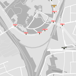
Ce jeu de donnée géolocalise les clés des carrefours gérés par Bruxelles Mobilité. Outre les clés des carrefours, sont également repris les panneaux zone 30 variable, les afficheurs de vitesse et certaines points de comptage sur voiries régionales. Le point géolocalisé est généralement celui de l'armoire où se trouve le contrôleur. Un contrôleur commande les feux d'un ou de .
-
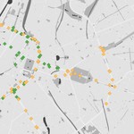
Les panneaux d'information de route dynamiques sont des panneaux électroniques le long des routes qui affichent des informations aux véhicules de passage et, si nécessaire, dirigent ce trafic par une autre route. Bruxelles Mobilité gère plusieurs panneaux d'information situés le long des principales routes d'accès, des autoroutes et dans les tunnels. Ce jeu de données montre les emplacements des différents panneaux d'information et les relie aux données actuelles affichées sur les écrans. Les emplacements sont mis à jour en cas de modifications. Les données affichées sont mises à jour toutes les 2 minutes.
-
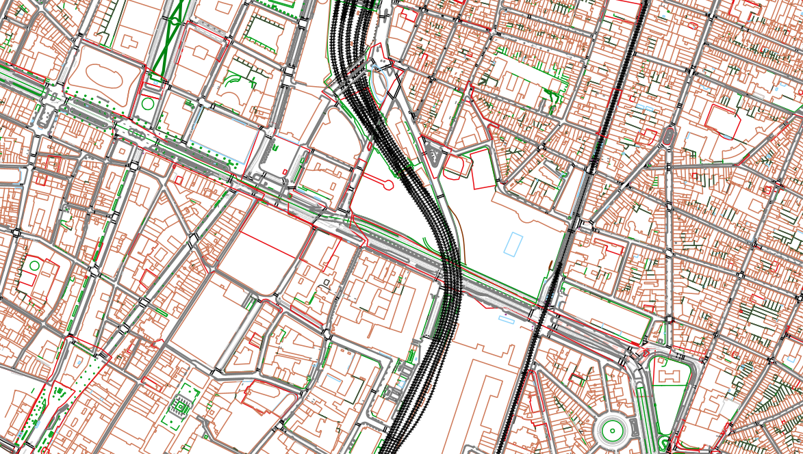
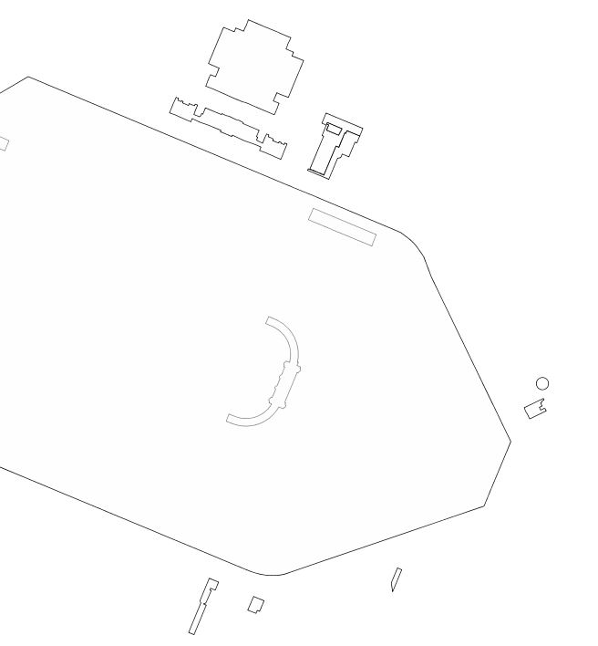
The UrbIS - Topo product is a catalogue of topographic geospatial vector data that contains geometric data, mainly lines, symbols and text. The product offers a digital representation of reality on a large scale through layers grouped by themes (e.g., buildings, roads, green spaces, etc.) and which can contain up to several tens of thousands of elements. The dataset is freely downloadable as a zipped file.
-
Brussels-Capital Region : SA entity corresponds to the axes of street sections of the Region of Brussels-Capital
-

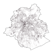
Administrative units - current situation corresponds to the dataset of administrative units from the reference database for the land register data. Administrative limits are legally defined by an administrative entity or between two administrative entities. In Belgium, administrative limits as legally defined are fixed and can only be changed by a law, ordinance or decree. The General Administration of Patrimonial Documentation of the FPS Finance is named by the federal authorities as the authentic source of Belgian administrative limits. This dataset corresponds to the current situation at the time of consultation. It is composed of five geometric classes. The first class corresponds to the whole national territory. The second corresponds to the territory of the three regions, the third to the territory of the provinces, the fourth to the territory of the administrative districts, the fifth to the territory of the municipalities. The dataset is freely downloadable via the ad hoc WFS service.