2023
Type of resources
Available actions
Topics
INSPIRE themes
Keywords
Contact for the resource
Provided by
Years
Formats
Representation types
Update frequencies
status
Service types
Scale
Resolution
-
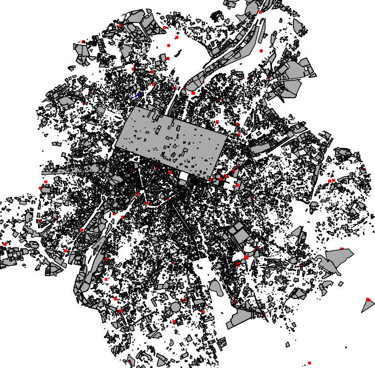
This dataset corresponds to applications for environmental permits filed in the Brussels-Capital Region, as defined in Title II of the ordonnance of 5 June 1997 regarding environmental permis. It includes both municipal and regional permit applications.
-
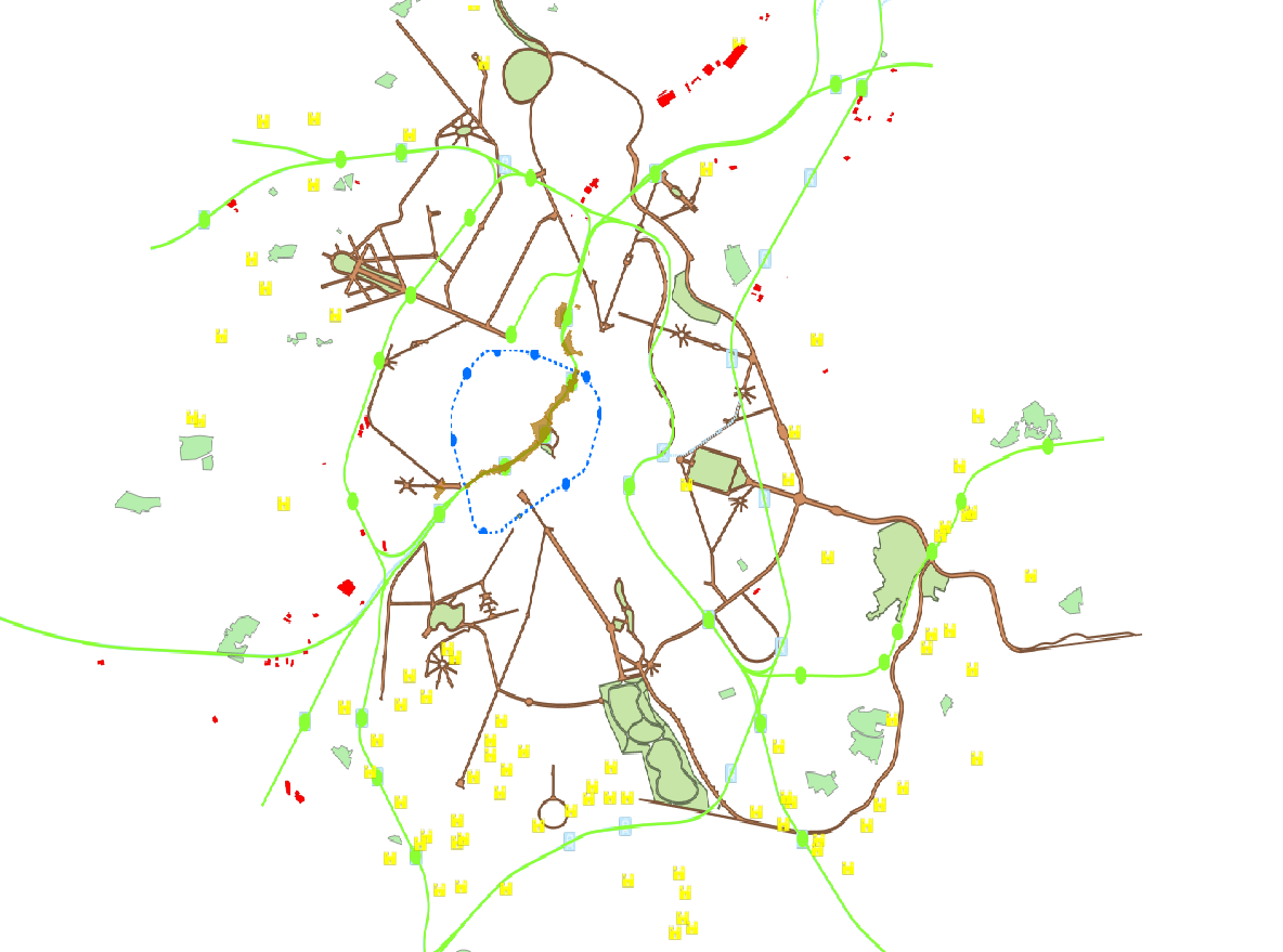
This dataset is made up of numerous types of objects corresponding to a range of different layouts or the location of various buildings or activities.
-

This view service allows, by means of a formatted URL, to visualize UrbIS data from data updated annually.
-

This download service provides object-based access to urban planning data managed through NOVA over the territory of Brussels Region.
-
Self-renovation could be a way of achieving the climate objectives of the Brussels-Capital Region's Renovation Plan more quickly, i.e. attaining an average C+ energy performance for residential buildings by 2050. It would also enable a response to the rise in energy prices, allowing those in need to be included in the renovation of Brussels' heritage. The aim of this study is to verify whether these assumptions can be applied in the Brussels-Capital Region.
-
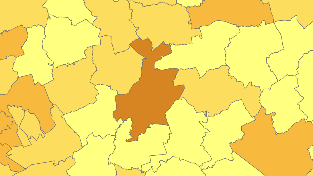
The files contain the population characteristics (total, gender and/or age groups) by municipality in Belgium on January 1st, according to the Belgian definition of the population. The Belgian definition does not take into account the 12-months criterion and excludes asylum seekers. More information at https://ec.europa.eu/eurostat/cache/metadata/en/demo_pop_esms.htm#unit_measure1589188532500.
-

This download service provides object-based access to urban planning data managed through NOVA over the territory of Brussels Region.
-
Deze web-service verzekert de visualisatie van de gegevens van de FOD Economie, conform aan de specificaties van INSPIRE. De datasets waarvan de structuur conform de specificaties van INSPIRE zijn, zijn opgenomen.
-
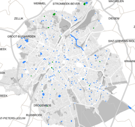
This dataset corresponds to applications for urban planning permits filed in the Brussels-Capital Region, as defined in Article 98 of the Brussels Town Planning Code. It includes both municipal and regional permit applications.
-
These map layers provide part of the information used for managing urban planning permits within the framework of spatial planning in the Brussels-Capital Region. The perimeters involved are as follows: subdivision permits and urban planning permits issued or still under consideration, municipal regulations and zoned municipal regulations, various zoning areas concerning advertising and signs as well as accessibility related to public transportation from the RRU 2006, land allocated for industry and priority development hubs.
 Geobru catalogue