 Geobru catalogue
structure
Type of resources
Available actions
Topics
INSPIRE themes
Keywords
Contact for the resource
Provided by
Years
Formats
Representation types
Update frequencies
status
Scale
-
This dataset covers transmitting antennas subject to a 1D environmental permit or a 1C environmental declaration in the Brussels-Capital Region, in accordance with the Decree of the Government of the Brussels-Capital Region of 4 March 1999 establishing the list of Class IB, IC, ID, II and III installations. It is made of two geometric classes.
-
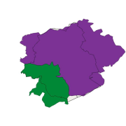
Brussels-Capital Region: Delineation of the Brussels agglomeration, in accordance with the directive 91/271/EEC concerning urban waste water treatment. The agglomeration is there defined as "an area where the population and/or economic activities are sufficiently concentrated for urban waste water to be collected and conducted to an urban waste water treatment plant or to a final discharge point". It corresponds to the two collecting basins of the waste water treatment plants of Brussels-North and Brussels-South.
-
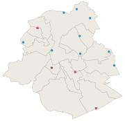
This dataset corresponds to the various monitoring stations sound levels, managed by Brussels Environment. The monitoring stations are dedicated to ambient noise, road, rail and/or air. Indication of the name (corresponding to the location) and the dominant sound source. Measurement results are available via the module WebNoise on the website of Brussels Environment.
-
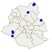
Brussels-Capital Region : location of the different surface water biological quality monitoring sites under the Water Framework Ordonnance and Directive. Surface waters concerned are surface water bodies: Canal, Senne and Woluwe. Monitoring involves a series of biological parameters.
-
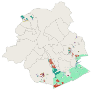
This dataset corresponds to the protected sites and natural habitats, in accordance with the ordinance of 1 March 2012 on nature conservation in the Brussels-Capital Region. It is made of six geometric classes : the protected areas in the Sonian Forest, the nature and forest reserves, Natura 2000 sites, the impact zone around Natura 2000 sites,
-
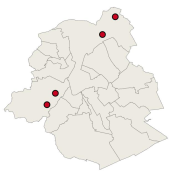
Brussels-Capital Region : this directive has as an aim the prevention of the major accidents implying of dangerous substances and the limitation of their consequences for the man and the environment, in order to ensure in a coherent and effective way in all the country of the high levels of protection. The geographical data file SEVESO consists of several classes of objects which make it possible to locate all the SEVESO sites on the territory of the area of Brussels.
-
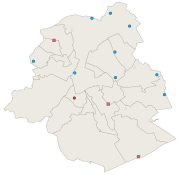
Brussels-Capital Region: location of various monitoring stations sound levels, managed by Brussels Environment. The monitoring stations are dedicated to ambient noise, road, rail and/or air. Indication of the name (corresponding to the location) and the dominant sound source. Measurement results are available via the module WebNoise on the website of Brussels Environment.
-
This dataset corresponds to the acoustic comfort zones defined in 2009 by Brussels Environment in accordance with the requirements of Directive 2002/49/EC on the assessment and management of environmental noise. It comprises six geometric classes: acoustic comfort zones to be created, acoustic comfort zones to be protected, acoustic comfort zones to be improved.
-
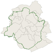
This dataset corresponds to the greenway. It is made of one geometric classe : the greenway.
-
The UrbIS - Mapping M7 to M8 product corresponds to the mapping between identifiers of some M7 objects and their equivalents in M8 when the identifiers are not identical. The mapping is performed as follows: ADPT in M7 corresponds to Addresses in the M8 Parcels and Buildings product; 3D BU in M7 corresponds to Three-dimensional buildings in the M8 3D Constructions product; and 2D BU in M7 corresponds to Buildings in the M8 Parcels and Buildings product. The dataset is freely downloadable as three csv files.