Address
Type of resources
Available actions
Topics
INSPIRE themes
Keywords
Contact for the resource
Provided by
Years
Formats
Representation types
Update frequencies
status
Scale
-

The BeSt Address - Brussels Region product corresponds to the regional address register, in the sense of the BeSt Address cooperation agreement between the Federal State and the Flemish Region, the Walloon region, and the Brussels Region. The dataset is freely downloadable for private individuals, as zipped files or via a WFS. However, the Brussels authorities referred to in article 2, 10° of the ordinance of 8 May 2014 on the creation of a regional service integrator must use FIDUS to download the dataset.
-
The UrbIS - Mapping M7 to M8 product corresponds to the mapping between identifiers of some M7 objects and their equivalents in M8 when the identifiers are not identical. The mapping is performed as follows: ADPT in M7 corresponds to Addresses in the M8 Parcels and Buildings product; 3D BU in M7 corresponds to Three-dimensional buildings in the M8 3D Constructions product; and 2D BU in M7 corresponds to Buildings in the M8 Parcels and Buildings product. The dataset is freely downloadable as three csv files.
-

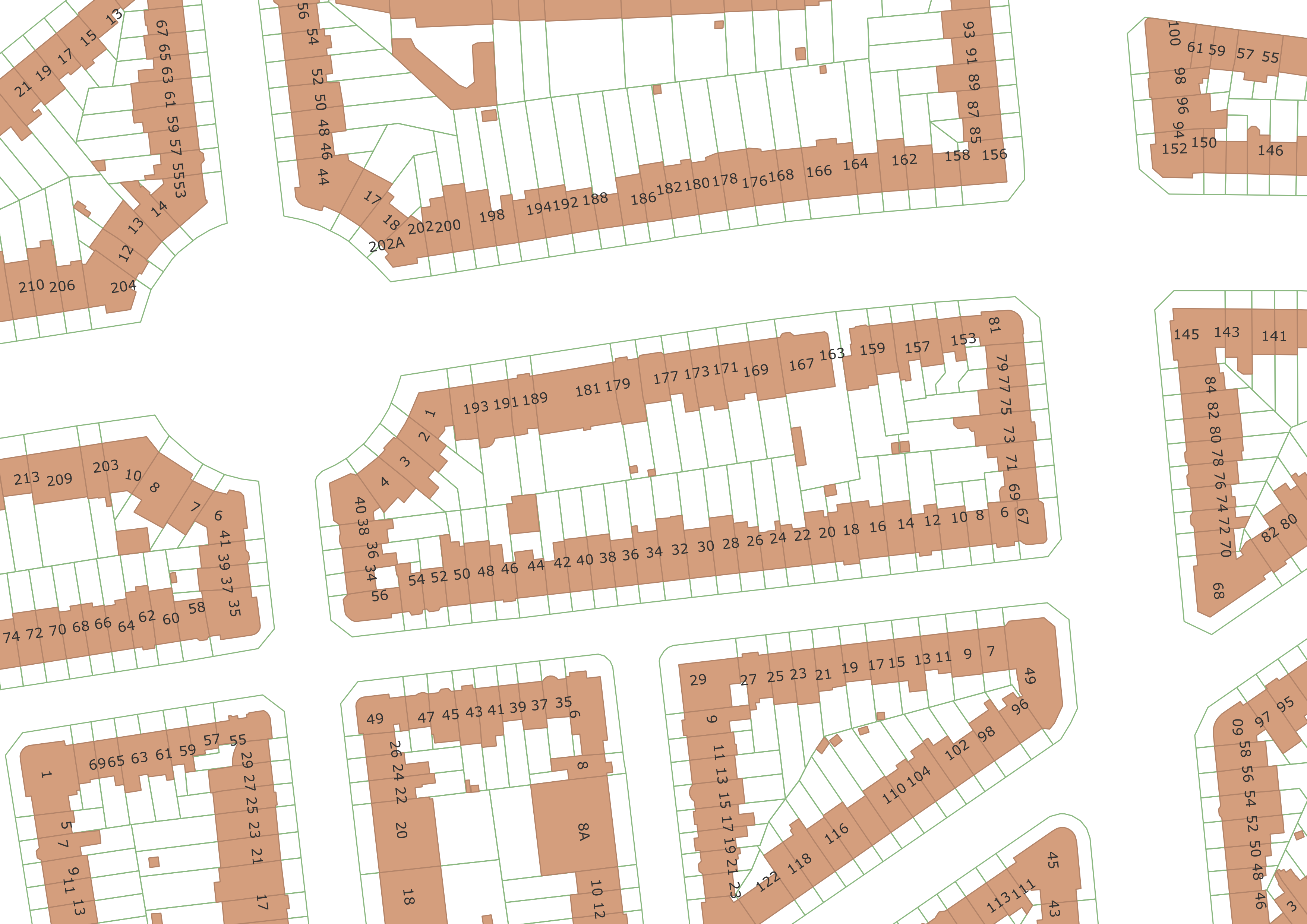
The UrbIS - Parcels and buildings product corresponds to the dataset of two-dimensionally modeled buildings located in the Brussels Region and the Cadastral Parcel Plan. This dataset is composed of three geometric classes. The first class corresponds to buildings. The second corresponds to addresses, and the third to cadastral parcels. The third class comes from the FPS Finance. Its licence applies to the third class. The dataset is freely downloadable as zipped files and via the ad hoc WFS.
-
The UrbIS - Vector product (formerly UrbIS - ADM) is a global dataset covering the physical and biological surfaces of the Brussels-Capital Region. It includes data from six UrbIS products, namely “Parcels and buildings”, “Land use”, “Transport networks”, “Administrative units”, “3D buildings”, and “Points of interest”. The dataset is freely downloadable as zipped files and via the ad hoc WFS.
 Geobru catalogue