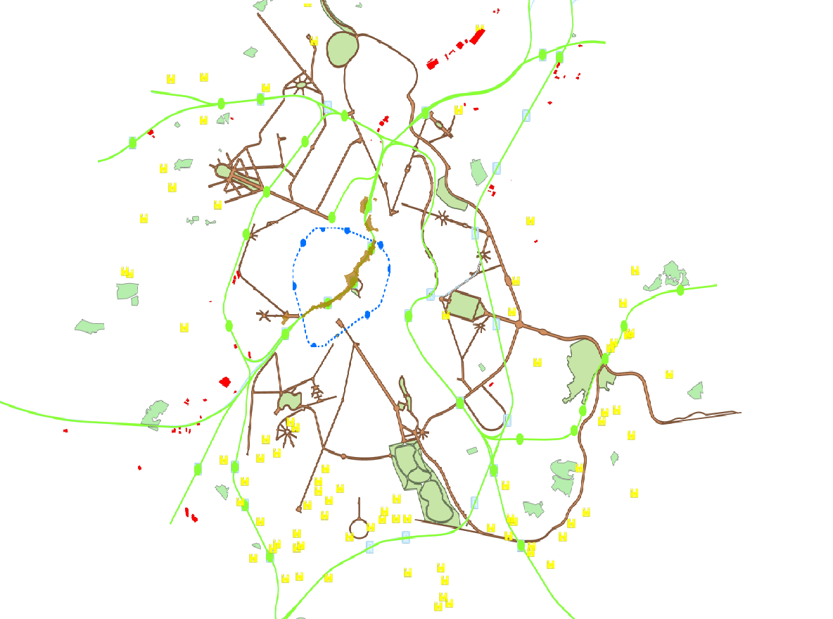
Brusky - Cartographic data
This dataset is made up of numerous types of objects corresponding to a range of different layouts or the location of various buildings or activities.
Simple
- Date (Creation)
- 2023-12-01
- Date (Revision)
- 2023-12-01
- Identifier
- BE.BRUSSELS.URBAN / 85bf9f91-da38-11ee-8fad-40ec994184cf
- Status
- Completed
- Maintenance and update frequency
- Not planned
- Access constraints
- Other restrictions
- Other constraints
- public access limited according because of existing intellectual rights
- Use constraints
- Other restrictions
- Other constraints
- Creative Commons Attribution (CC-BY) - required citation of data source. The full license is available here: https://creativecommons.org/licenses/by/4.0/legalcode
- Spatial representation type
- Vector
- Denominator
- 10000
- Metadata language
- Nederlands; Vlaams
- Metadata language
- Français
- Character set
- UTF8
- Topic category
-
- Society
- Description
- Brussels-Capital Region
N
S
E
W
))
- Unique resource identifier
- EPSG:31370
- Codespace
- EPSG
- Unique resource identifier
- EPSG:3812
- Codespace
- EPSG
- Distribution format
-
-
GeoPackage
()
-
GeoPackage
()
- Statement
- The drawings of the routes (historical or linked to mobility) or the locations of residential or economic activities were produced as part of publications by the Studies and Planning Department of the Ministry of the Brussels-Capital Region.
- File identifier
- 85ba483b-da38-11ee-884c-40ec994184cf XML
- Metadata language
- English
- Character set
- UTF8
- Hierarchy level
- Dataset
- Date stamp
- 2025-06-11T08:18:02
- Metadata standard name
- Brussels INSPIRE metadata profil
Overviews

Spatial extent
N
S
E
W
))
Provided by

Associated resources
Not available
 Geobru catalogue