 Geobru catalogue
Brussels Regional Public Service Urbanism and Heritage
Type of resources
Available actions
Topics
INSPIRE themes
Keywords
Contact for the resource
Provided by
Years
Formats
Representation types
Update frequencies
status
Service types
Scale
Resolution
-
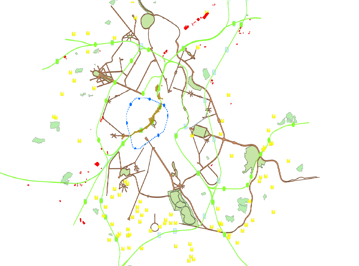
Brussels-Capital Region : OGC:WMS service Urban for patrimonial protected sites
-
The indicative inventory of natural heritage: these various cartographic layers are essential for a comprehensive understanding of natural heritage, allowing authorities and stakeholders to monitor, protect, and promote trees and sites with heritage value (gardens, squares, parks, woods) in the region. The inventory of architectural heritage. The archaeological and historical inventory of the Brussels Region: this group of cartographic layers presents a detailed thematic inventory of archaeological and historical sites in the center of Brussels (Pentagon).
-
These various map layers are essential for the effective management of cultural heritage (real estate) in the Brussels-Capital region. They enable authorities and stakeholders to monitor, protect, and promote this valuable cultural legacy. Protected Properties: This map layer displays the locations of cultural properties that are officially protected by the relevant authorities. Protection Zones: This map layer shows the designated protection zones around the protected properties.
-
This layer shows the locations of monuments, ensembles, trees, and sites listed in legal inventories.
-
These map layers include the perimeters of programs and urban renewal operations financed by the Brussels-Capital Region (sustainable neighborhood contracts, urban renewal contracts) as well as the current preemption perimeters.
-
This dataset is made up of numerous types of objects corresponding to a range of different layouts or the location of various buildings or activities.
-
The Manual aims to clarify the priorities for development based on the types of public spaces and to provide a reference framework for authorities involved in public space planning, in line with regional objectives. It seeks to ensure a high level of comfort for users, address the climate challenge, and enhance inclusivity and spatial quality.
-
The Brusky - ground photographs product brings together a collection of historical georeferenced photographs, taken on the ground or in the immediate vicinity of the ground, of buildings of interest in the current Brussels Region that form part of its remarkable heritage.
-
This dataset includes Renolution grants delivered to applicants. These are intended to support renovation and energy-saving work on buildings in the Brussels-Capital Region.
-
This view service allows, by means of a formatted URL, to display all the vector data that are used in Brusky.