 Geobru catalogue
imageryBaseMapsEarthCover
Type of resources
Available actions
Topics
INSPIRE themes
Keywords
Contact for the resource
Provided by
Years
Formats
Representation types
Update frequencies
status
Scale
Resolution
-

The orthophotos of the Brussels-Capital are made on the basis of large-scale aerial photographs. This orthophoto covers the whole territory of the region. Orthophotos available from 2009.
-
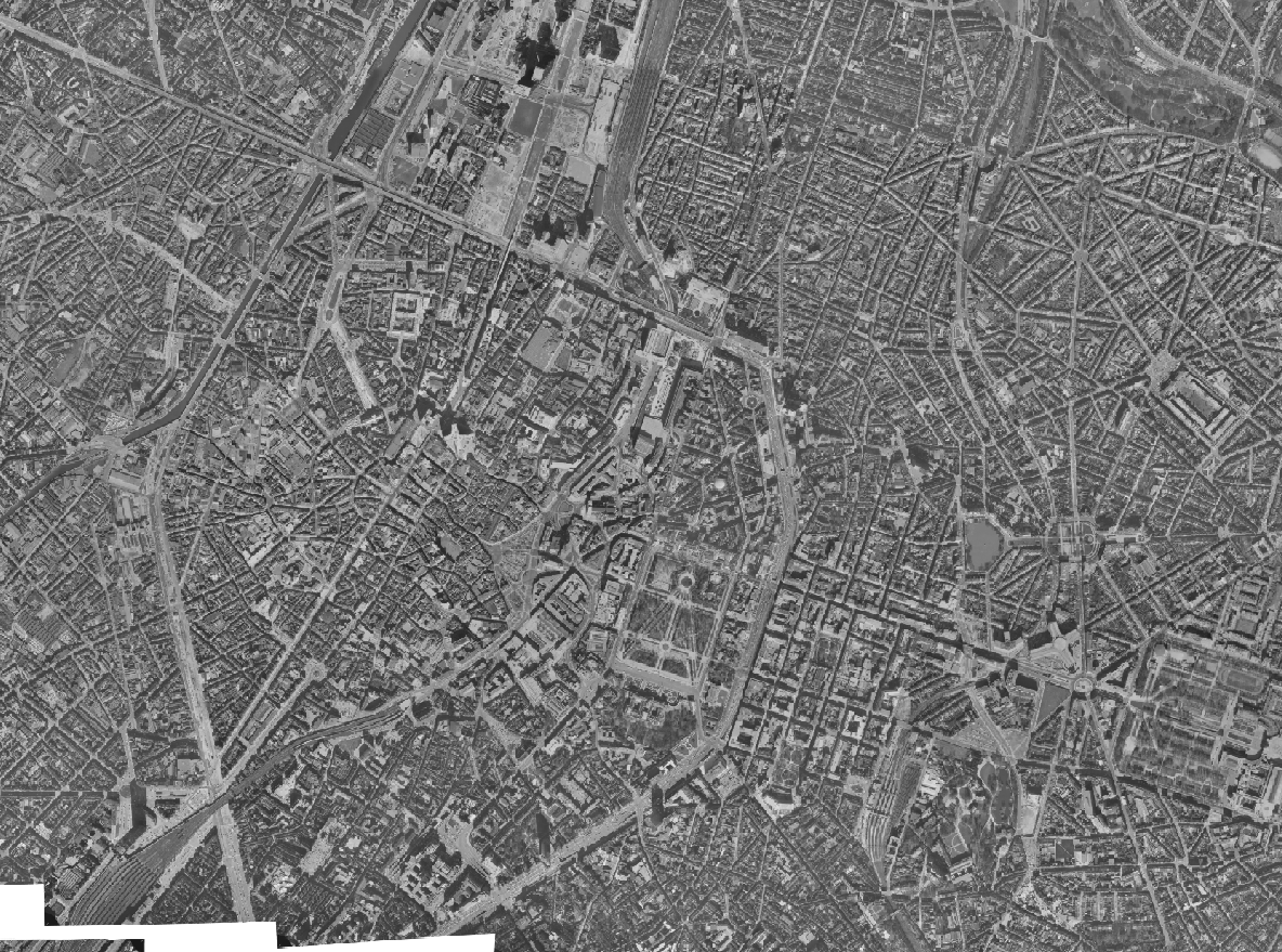
The Brusky Ortho 1977 product is a set of gray scale (black and white) orthophotomaps covering the territory of the Brussels Region. The images used for these orthophotoplans were taken in 1977.
-
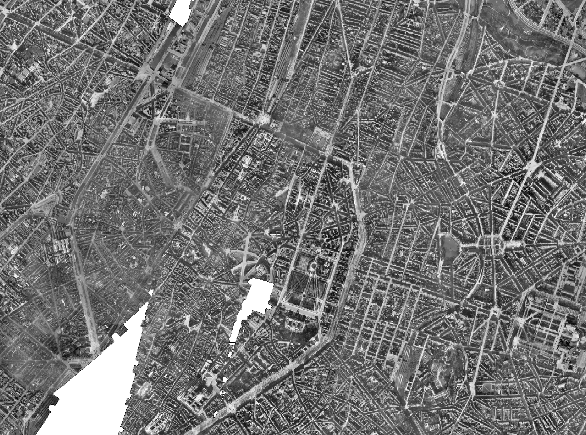
The Brusky Ortho 1930-1935 product is a set of gray scale (black and white) orthophotomaps covering apart of the current territory of the Brussels Region. The images used for these orthophotoplans were taken between 1930 and 1935.
-

The orthophotos of the Brussels-Capital are made on the basis of large-scale aerial photographs. This orthophoto covers the whole territory of the region. Orthophotos available from 2012.
-
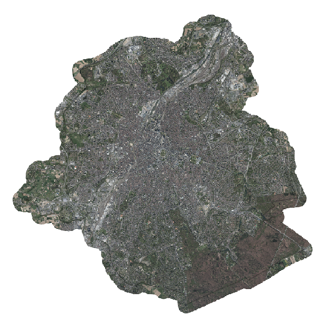
Brussels-Capital Region : the orthophotos of the Brussels-Capital are made on the basis of large-scale aerial photographs. This orthophoto covers the whole territory of the region. Orthophotos available from 2016.
-
Brussels-Capital Region : database of green spaces and recreational areas in the Brussels-Capital Region, accessible to the public
-

This dataset includes the RGB & NI (Red, Green, Blue and Near-Infrared) orthophotos created in 2020. The images cover the entire Brussels Capital Region, with a resolution of 5 centimeters.
-

This dataset includes the RGB (Red, Green, Blue) orthophotos created in 2018. The images cover the entire Brussels Capital Region, with a resolution of 5 centimeters.
-

This dataset includes the RGB (Red, Green, Blue) orthophotos created in 2019. The images cover the entire Brussels Capital Region, with a resolution of 5 centimeters.
-

The orthophotos of the Brussels-Capital are made on the basis of large-scale aerial photographs. This orthophoto covers the whole territory of the region. Orthophotos available from 2004.