 Geobru catalogue
2009
Type of resources
Available actions
Topics
INSPIRE themes
Provided by
Years
Formats
Representation types
Update frequencies
status
Scale
Resolution
-

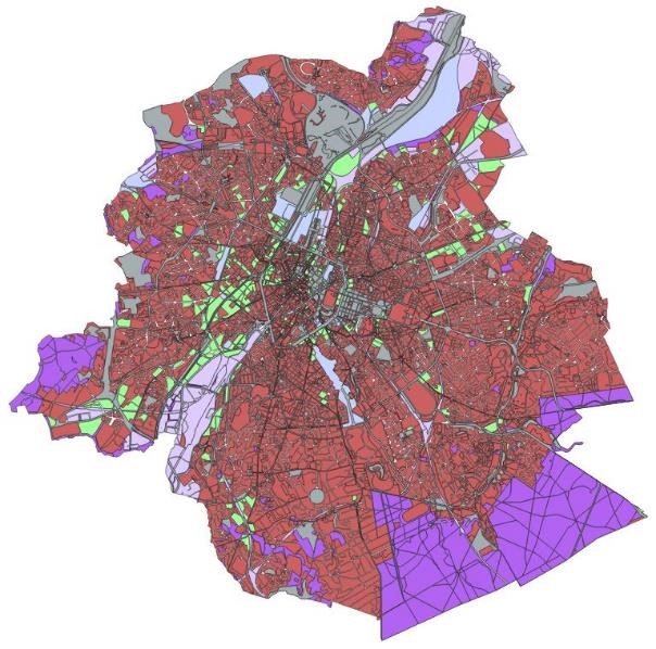
The orthophotos of the Brussels-Capital are made on the basis of large-scale aerial photographs. This orthophoto covers the whole territory of the region. Orthophotos available from 2009.
-
This dataset corresponds to the sensitivity classes applicable to the soil condition inventory, defined according to the Regional Land Use Plan (2017) and according to the correspondence established in the decree of 29 March 2018 determining intervention standards and sanitation standards. Soil pollution response standards are derived from this. The sensitivity class is to be adapted to 'special area' if the site under study is in a Natura 2000 area or in a drinking water catchment protection area. The dataset specifies whether the site is yes (t=true) or no (f=false) in such an area. There are 6 different sensitivity classes: (1) residential, (2) particular, (3) industrial, (4) ZFM and ZEMU, (5) ZIR, ZIRAD and RF, (6) other.
-
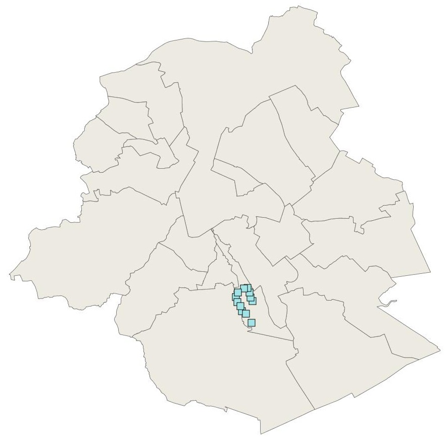
Brussels-Capital Region: localization of the extraction wells for drinking water in Brussels, run by VIVAQUA. Ranked as protected area 1 of the water extractions (with the drainage gallery)
-
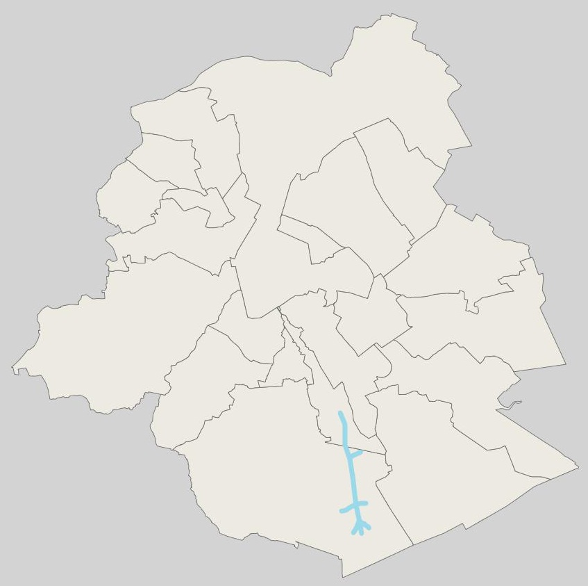
Brussels-Capital Region : location of Brussels drinking water catchment drainage gallery operated by VIVAQUA. Each section of the drainage gallery is named. Classified as protection area 1 of water extraction (with the extraction wells).
-
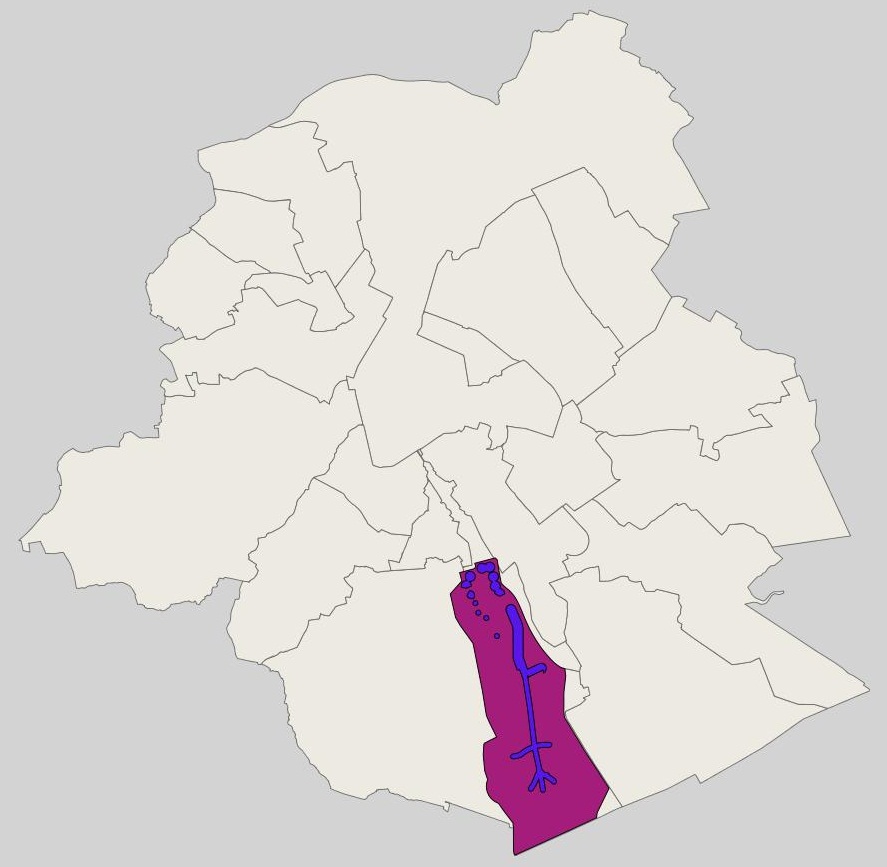
Brussels-Capital Region : groundwater catchment sites protection area 3 (i.e. extraction wells and drainage gallery) in the Brussels-Capital Region. Those site was defined in the Brussels-Capital Government decree of 19 September 2002 delimiting a groundwater catchments protection area at the “Bois de la Cambre” and in the Sonian Forest (Belgian Monitor: June 10, 2008)