regional authority
Type of resources
Available actions
Topics
INSPIRE themes
Keywords
Contact for the resource
Provided by
Years
Formats
Representation types
Update frequencies
status
Service types
Scale
Resolution
-
This view service allows, by means of a formatted URL, to visualize UrbIS data from 2023.
-
This view service allows, by means of a formatted URL, to visualize UrbIS data from june 2025.
-
This view service allows, by means of a formatted URL, to visualize the data from the wifi.brussels network's hotspots managed by IRISnet in the Brussels-Capital Region.
-

This view service allows, by means of a formatted URL, to display the address points of the region Brussels, included in the BeSt Address dataset, the authentic source for the Brussels Region.
-

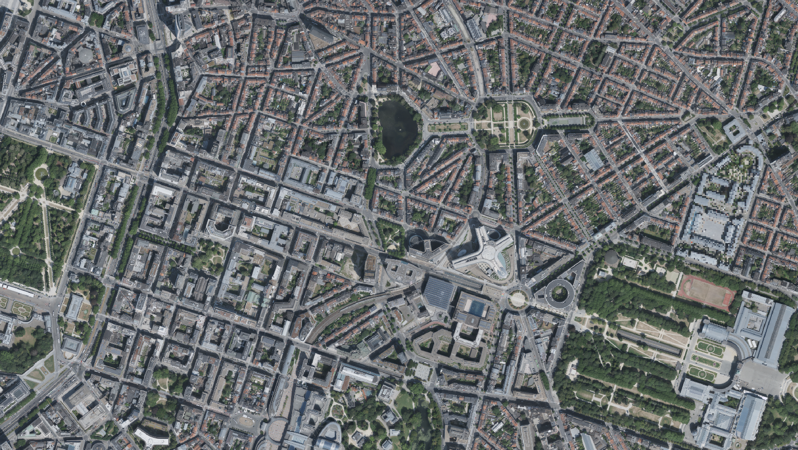
This dataset includes the RGB & NI (Red, Green, Blue and Near-Infrared) orthophotos created in 2022. The images cover the entire Brussels Capital Region, with a resolution of 5 centimeters. The dataset is freely downloadable as a zipped file.
-

This view service allows, by means of a formatted URL, to display the UrbIS Topo reference vector dataset.
-

This dataset includes the RGB & NI (Red, Green, Blue and Near-Infrared) orthophotos created in 2022. The images cover the entire Brussels Capital Region, with a resolution of 5 centimeters. The dataset is freely downloadable as a zipped file.
-

This view service allows, by means of a formatted URL, to display all the UrbIS basemaps. These are available in color or black and white, and with annotations in French or in Dutch, or without annotations. It is recommended to avoid using this service for viewers or front-end applications, and to prefer the "Tiled view service - UrbIS" instead.
-

This download service allows, by means of a formatted URL, to download any object of the UrbIS Topo reference vector dataset.
-

This download service allows, by means of a formatted URL, to download any object of the 2D vectorial datasets that compose UrbIS M7.
 Geobru catalogue