Transport networks
Type of resources
Available actions
Topics
INSPIRE themes
Keywords
Contact for the resource
Provided by
Years
Formats
Representation types
Update frequencies
status
Service types
Scale
-
This view service allows, by means of a formatted URL, to display the STIB bus network and tram and train network in the Brussels-Capital Region.
-
This service allows downloading Brussels Mobility datasets.
-
This service allows to download datasets of STIB-MIVB harmonized according to INSPIRE
-
Web Map Service for layers of Brussels Mobility
-

This view service allows, by means of a formatted URL, to display the UrbIS Topo reference vector dataset.
-

This download service allows, by means of a formatted URL, to download any object of the UrbIS Topo reference vector dataset.
-

This view service allows, by means of a formatted URL, to visualize UrbIS data from data updated annually.
-

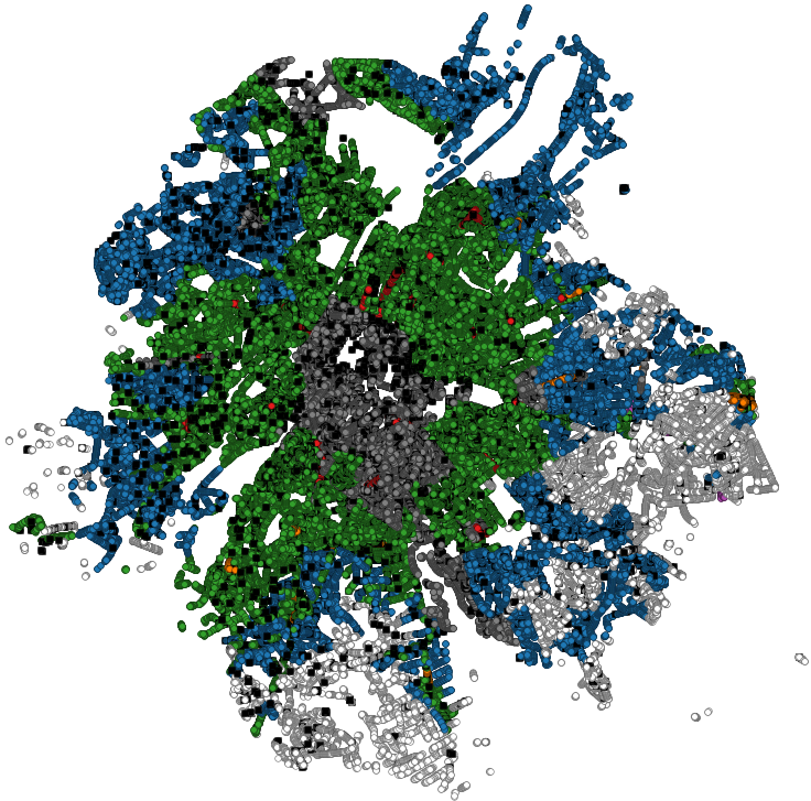
This dataset contains the on-street parking supply in the Brussels-Capital Region, categorised by type of reglementation, orientation and situation.
-

This dataset contains the access roads, whether parking is allowed or not, in the Brussels-Capital Region, categorised by type of reglementation, orientation and situation.
-

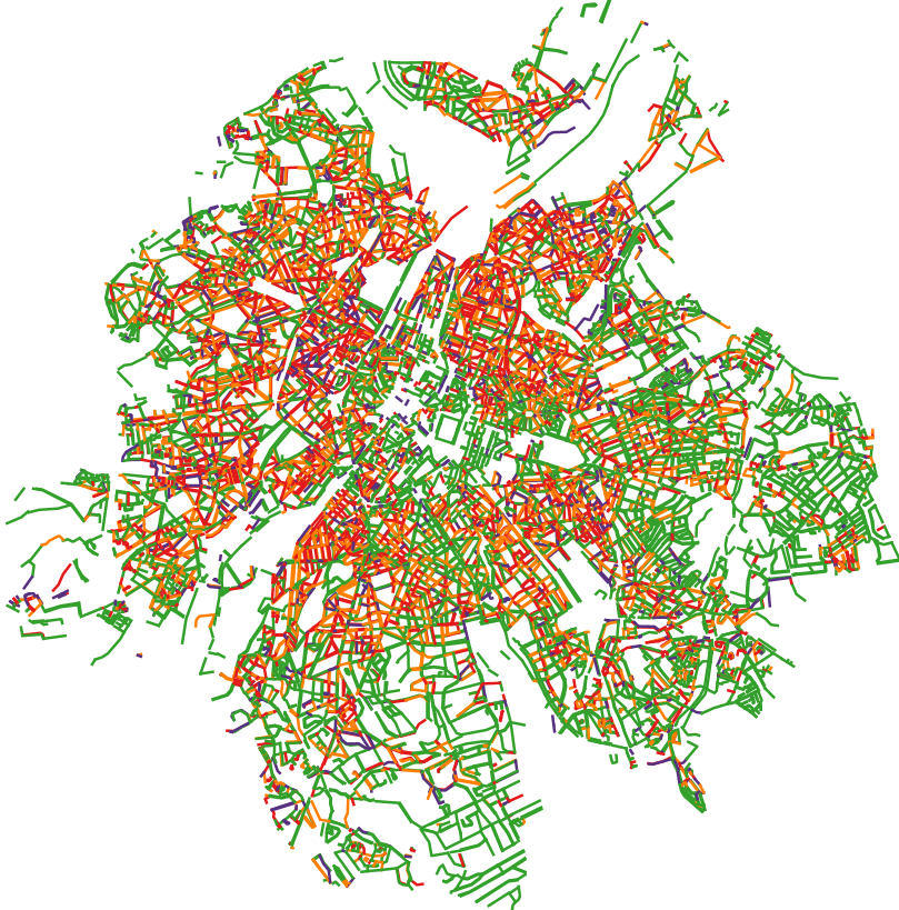
This dataset corresponds to the total occupancy rate of parking demand in 2019 by the different modes of transport (cars and vans, motorised two-wheelers, lorries, other) on all the roads in the Brussels-Capital Region.
 Geobru catalogue