Land cover
Type of resources
Available actions
Topics
INSPIRE themes
Keywords
Contact for the resource
Provided by
Years
Formats
Representation types
Update frequencies
status
Service types
Scale
Resolution
-
This service allows downloading the datasets (compliant with the data specifications of INSPIRE) from the INSPIRE theme "Land Cover" of the Brussels-Capital Region of Brussels Environment.
-
Brussels-Capital Region: This service is the service mapping data visualization of the dataset of Brussels Environment (compliant with the data specifications of INSPIRE) "Green public spaces" of the Brussels-Capital Region.
-

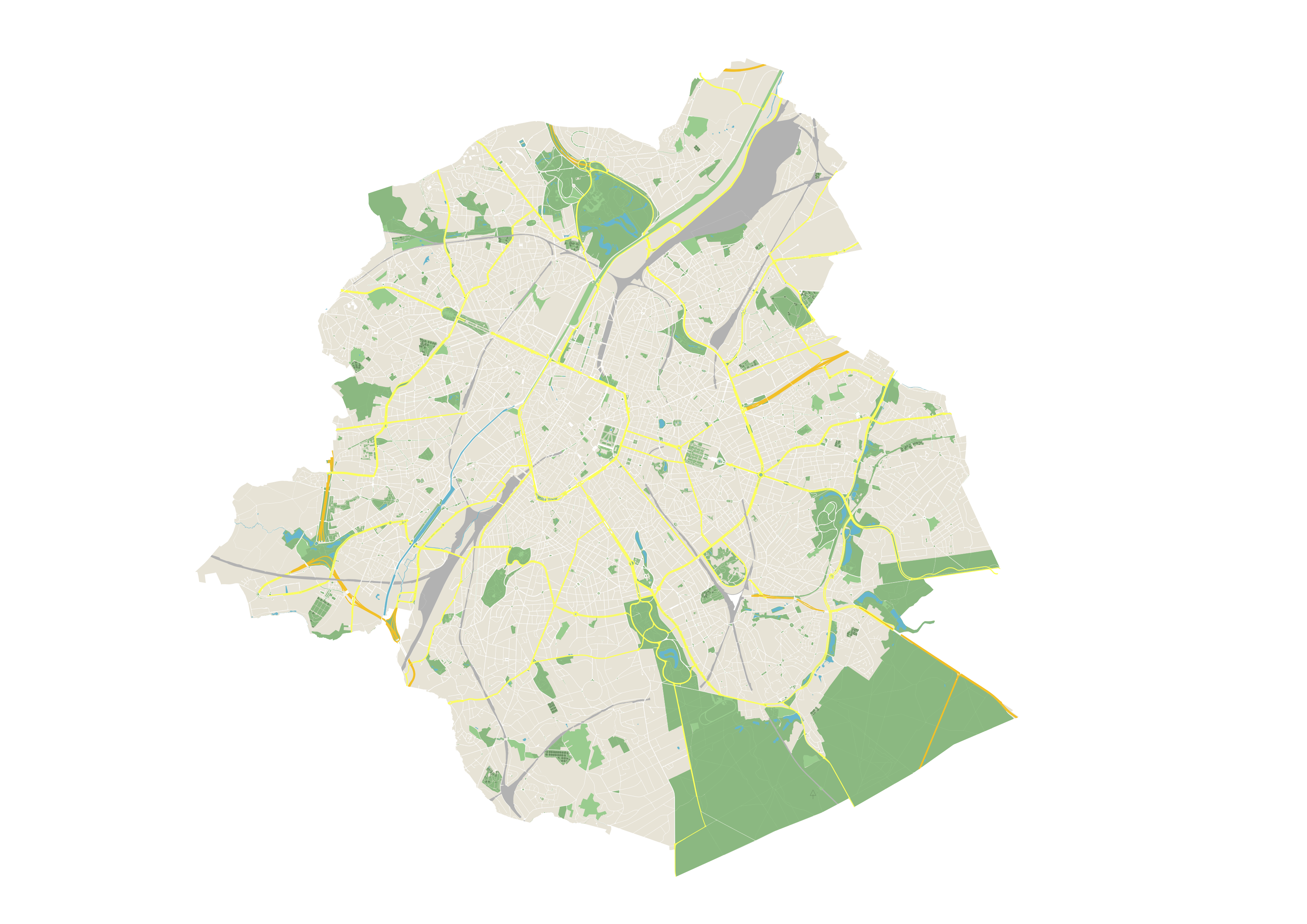
The UrbIS - Land cover product corresponds to the dataset of physical and biological surfaces in the Brussels Region. This dataset is composed of four geometric classes. The first class corresponds to bridges. The second corresponds to tunnels, the third corresponds to street surfaces (some objects located in Flanders have been integrated for visual continuity), and the fourth corresponds to blocks including forests, parks, and bodies of water. The dataset is freely downloadable as a zipped file and via the ad hoc WFS.
-

This view service allows, by means of a formatted URL, to visualize UrbIS data from data updated annually.
-
This map corresponds to the "Carte topographique et hypsométrique de Bruxelles et ses environs", drawn around 1858 at a scale of 1:20,000 by Joseph Huvenne (draftsman, topographer) and engraved by J. Ongers. It covers the Brussels region from Neder-Over-Heembeek to Drogenbos and from Berchem-Sainte-Agathe to Auderghem.
-

This tiled view service gives access to tiled georeferenced maps of UrbIS from data updated annually.
-

This tiled view service makes it possible to obtain geo-referenced tiles of the raster datasets making up the UrbIS series. This service is updated weekly from the corresponding layers in the View service - UrbIS vector data and discreetly from the analogous layers of the View service - Raster. The use of this service is recommended for all viewers and front-end applications.
-
This dataset corresponds to the register of the quantities of sewage sludge produced and the quantities of sludge delivered for use in agriculture. It complies with Article 10 of Council Directive 86/278/EEC of 12 June 1986 on the protection of the environment, and in particular of the soil, when sewage sludge is used in agriculture, and covers the Brussels-Capital Region.
-

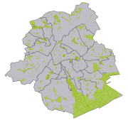
Brussels-Capital Region : database of green spaces and recreational areas in the Brussels-Capital Region, accessible to the public
-

This dataset corresponds to impervious surfaces in the Brussels-Capital Region. It is made of three geometric classes : the imperivous surfaces (2022), the sealing rate per built-up blok (2022), and the sealing rate per street surface (2022).
 Geobru catalogue