 Geobru catalogue
inlandWaters
Type of resources
Available actions
Topics
INSPIRE themes
Keywords
Contact for the resource
Provided by
Formats
Representation types
Update frequencies
status
Scale
-
Brussels-Capital Region : data on the 3 Surface Water Bodies of the Area of Brussels, defined under the Directive and the Ordinance Water
-
This dataset corresponds to the atlas of the hydrographic network of the Brussels-Capital Region, in accordance with the Decree of 23 May 2024 classifying non-navigable watercourses, designating regional ponds, determining the content, scope, procedures and deadlines for drawing up the Atlas of the hydrographic network of the Brussels-Capital Region and adopting this Atlas. It is made of ten geometric classes: classified watercourses, unclassified watercourses, bank crests, regional ponds, ditches, engineering structures, sluice walls, watercourse points of origin, cross profiles, embankments.
-

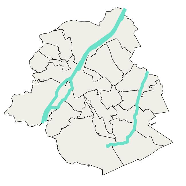
Brussels-Capital Region : watercrouses in Brussels Region, defined under the Directive and the Ordinance Water
-

Brussels-Capital Region : drainage basins in Brussels Region, defined under the Directive and the Ordinance Water
-
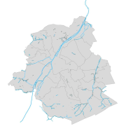
This dataset corresponds to hydrography in the Brussels-Capital Region. It is made up of nine geometric classes: drainage basins, arched watercourses, open watercourses, surface water (ponds, marshes, swamps), surface water bodies, springs, right-of-way zone for arched watercourses, non aedificandi zone.
-
This dataset corresponds to underground hydraulic infrastructurein the Brussels-Capital Region. It is made up of two geometric classes: underground hydraulic pipes, and inspection chambers for underground hydraulic pipes.
-

Brussels-Capital Region : watercrouse links in Brussels Region, defined under the Directive and the Ordinance Water
-

Brussels-Capital Region : standing Water in Brussels Region, defined under the Directive and the Ordinance Water